Browse / Australia / Northern Territory / Southport
Southport
Northern Territoryvillage
Total population
355
Demographic figures from Australian Bureau of Statistics. Overview below cites Wikipedia and may reference a different year.
City facts
Overview
Southport is an outer rural locality in Darwin. It is based on the site of the abandoned Town of Southport, a thriving river port during the Pine Creek gold rush of the 1870s. It is located at the junction of the Blackmore and Darwin Rivers.
Read more on WikipediaHistory & geography
History
During an expedition beginning in 1868 led by the Surveyor General of South Australia, George Goyder, four towns were surveyed in 1870 – Daly, Palmerston, (now Darwin), Southport and Virginia. Goyder's initial plans were for a town that would occupy some 500 acres, including 335 half acre blocks for development. Streets were laid out and named after members of the surveyor's party. Between 1870 and 1872, the construction of the Overland Telegraph encouraged development in Southport. The new town was used as a depot for construction teams working on this significant infrastructure project. A telegraph office opened in 1874 following the completion of the line. with a privately built landing alongside. The discovery of gold near Pine Creek during Telegraph construction saw Southport rapidly develop into an important regional centre. Local businessman John Lewis began using the town to land provisions in support of the gold mines to the south in 1872. In 1873 he constructed a second jetty and powder store to facilitate unloading of supplies and explosives. Other mining companies were encouraged to set up support operations in the town. and Samuel Brown), a post office and numerous businesses including blacksmiths', wheelwrights' and saddlers' shops, telegraph and police station, gunpowder magazine, bond store, general stores and even a cordial factory. The steam launch Palmerston was commissioned between Port Darwin and Southport in 1877, which improved the service and reduced the trip to one of 3 hours. The town began to decline in the 1880s, largely due to reduced traffic between the town and goldfields to the south. By 1885 many businesses had closed. Whilst there was still a blacksmith, saddler and wheelwright in town, they were supplemented by only a single hotel…
Excerpted from the corresponding Wikipedia article (CC BY-SA).
Geography
Coordinates & boundaries from the US Census TIGER/Line shapefiles.
Climate
Air quality
Walkability
Amenities nearby
Wildlife & biodiversity
Most-observed species
- BluestemAndropogon gayanus Kunth · Liliopsida7,212
- Typhonium praetermissum A.HayTyphonium praetermissum A.Hay · Liliopsida6,632
- agile wallabyMacropus agilis (Gould, 1841) · Mammalia5,738
- northern brown bandicootIsoodon macrourus (Gould, 1842) · Mammalia2,792
- common brushtail possumTrichosurus vulpecula (Kerr, 1792) · Mammalia2,700
- Bufo toad, Bullfrog, Cane toad, Giant American toad, Marine Toad, Suriname toadRhinella marina (Linnaeus, 1758) · Amphibia1,655
- Bar-shouldered DoveGeopelia humeralis (Temminck, 1821) · Aves797
- wild boarSus scrofa Linnaeus, 1758 · Mammalia653
Citizen-science & research observations from the Global Biodiversity Information Facility (GBIF).
Earthquake history
Events from the USGS Earthquake Catalog (global) (FDSN Event Web Service).
Photos
Sights & places nearby
Notable people from here
Nearby places in Northern Territory
- Noonamah10.5 mi away · pop. 483
- Acacia Larrakia16.4 mi away
- Belyuen21 mi away · pop. 213
- Iron Stone36.5 mi away
- Amangal37.5 mi away
- Channel Point Community63.6 mi away
- Pickertaramoor66.3 mi away
- Daly River73.1 mi away · pop. 350
- Wurankuwu88.9 mi away
- Goodparla91.3 mi away
- Milikapiti91.8 mi away · pop. 414
- Deleye97.3 mi away
Geography & sun
Elevation, sunrise/sunset and daylight from Open-Meteo. Solar climatology from NASA POWER.
Nearby airports
Public attention
Pageview totals from the Wikimedia Pageviews API.
Books about Southport
Search results from Open Library.
Recent natural events nearby
Ground air-quality sensors
Recently spotted species
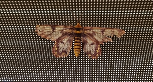
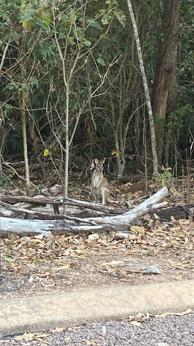
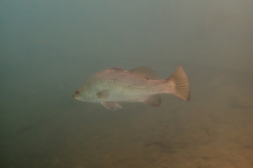
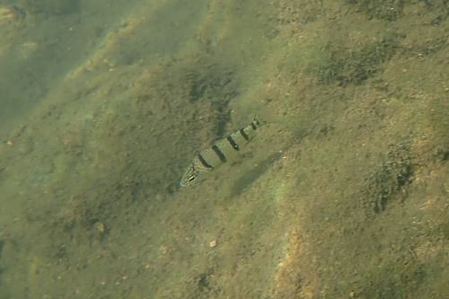
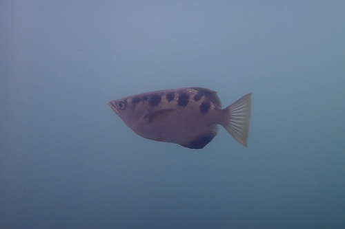
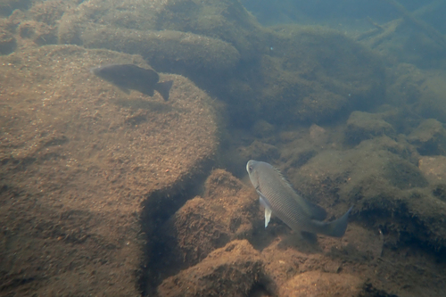
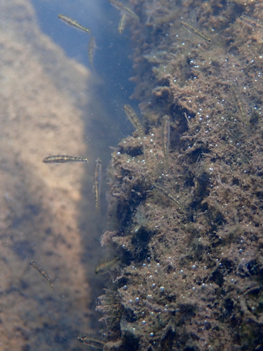
Research-grade observations from iNaturalist (within ~15 mi).
Events
Gallery
Geotagged photos within ~6 miles of Southport, from Wikimedia Commons contributors.


Photos via Wikimedia Commons — see each image page for license & attribution.
Sources
- • Wikipedia
- • Wikimedia Commons
- • Wikidata
- • USGS Earthquake Catalog (global feed)
- • GBIF (Global Biodiversity Information Facility)
- • iNaturalist
- • Open-Meteo / sunrise-sunset.org
- • Wikipedia Pageviews API
- • Open Library