Browse / Australia / South Australia / Streaky Bay
Streaky Bay
South Australiatown

Streaky Bay
Total population
967
Demographic figures from Australian Bureau of Statistics. Overview below cites Wikipedia and may reference a different year.
City facts
Facts from Wikidata (CC0).
Overview
Streaky Bay is a coastal town on the western side of the Eyre Peninsula, in South Australia just off the Flinders Highway, 303 km (188 mi) north-west of Port Lincoln and 727 km (452 mi) by road from Adelaide. At the 2021 census, Streaky Bay recorded a population of 1,436.
Read more on WikipediaHistory & geography
History
For many thousands of years, the area around Streaky Bay has been inhabited by the Wirangu people. In 1627, Dutch explorer Pieter Nuyts, in the Gulden Zeepaard (Golden Seahorse), became the first European to sight the area. In 1937 an obelisk was erected on the median strip in Bay Road, near the Alfred Terrace intersection. It was described by W. H. Howard as "The only monument in Australia commemorating the ter-centenary of an historic event". In 1802, Matthew Flinders named Streaky Bay whilst on his voyage in the Investigator. In his log of 5 February 1802, he notes: "And the water was much discoloured in Streaks... and I called it Streaky Bay" It is now thought these streaks are caused by the release of oils by certain species of seaweed in the bay. The first European land exploration was conducted on behalf of the Secondary Towns Association by John Hill and Samuel Stephens, whose expedition arrived at Streaky Bay on 15 August 1839 using the chartered brig Rapid as a base. A fortnight later, on 25 August 1839, Edward John Eyre, who had explored overland from Port Lincoln, arrived at the locality and established a small base about 3 kilometres from what is now the Streaky Bay Township, which he used as a store for his overland expeditions to Point Bell. That site, known as Eyre's Waterhole, is listed on the South Australian Heritage Register, and can still be seen just off the Flinders Highway. The Streaky Bay and nearby Elliston areas became taboo for the Aboriginal people of the region following conflict with European settlers in the mid-19th century. There were killings on both sides, the most significant event being the Waterloo Bay massacre of a large number of Aboriginal people in May 1849. Pastoralists moved into the area from 1854. The town was…
Geography
Streaky Bay and the surrounding district show a great variety of landscapes, from largely untouched native scrubland and farming country to cliffs and extensive surf beaches. The inland areas of the district are largely dominated by pastoral country; however areas such as the Calpatanna Waterhole Conservation Park located 30 km SE of Streaky Bay represents an example of the original coastal and salt lake environments, where wildlife still abounds. Possibly the areas most interesting geological features are Murphy's Haystacks. These pink granite formations have been dated at 1590 million years old. The features that most commonly draw tourists are along the immense stretch of coastline surrounding the bay. The Bay itself is relatively protected and quiet stretches of beach can be found along most of its length. However, where the coastline is exposed to the swells of the Southern Ocean, cliffs are exposed, along with sheltered areas that harbour large rockpools, such as Smooth Pool and The Granites. The islands of the Nuyts Archipelago lie to the north-west. Streaky Bay has a mild climate with the average a few degrees above Adelaide in summer and winter with an average rainfall of 378 mm per year. The township of Streaky Bay is situated on the southern end of the bay, on an enclosed inlet named Blanche Port (after Lady Blanche MacDonnell, the wife of Governor Richard MacDonnell) or Augusta Harbor.
Excerpted from the corresponding Wikipedia article (CC BY-SA).
Geography
Coordinates & boundaries from the US Census TIGER/Line shapefiles.
Climate
10-year averages from ERA5 reanalysis (Open-Meteo).
Air quality
Walkability
Amenities nearby
Wildlife & biodiversity
Most-observed species
- Singing HoneyeaterGavicalis virescens (Vieillot, 1817) · Aves317
- Silver GullChroicocephalus novaehollandiae (Stephens, 1826) · Aves270
- European StarlingSturnus vulgaris Linnaeus, 1758 · Aves230
- Welcome SwallowHirundo neoxena Gould, 1842 · Aves179
- Pacific GullLarus pacificus Latham, 1801 · Aves160
- Australian PelicanPelecanus conspicillatus Temminck, 1824 · Aves137
- Red WattlebirdAnthochaera carunculata (Shaw, 1790) · Aves119
- Crested PigeonOcyphaps lophotes (Temminck, 1822) · Aves116
Citizen-science & research observations from the Global Biodiversity Information Facility (GBIF).
Earthquake history
Events from the USGS Earthquake Catalog (global) (FDSN Event Web Service).
Photos
Sights & places nearby
Notable people from here

People born within ~10 km, from Wikidata (CC0). Click any name for their Wikipedia article.
Nearby places in South Australia
- Petina25.1 mi away
- Baird Bay25.8 mi away
- Smoky Bay33.4 mi away · pop. 162
- Pimbaacia34.4 mi away
- Poochera36.9 mi away · pop. 43
- Venus Bay40.3 mi away · pop. 42
- Koongawa Dundee55.9 mi away · pop. 11
- Yarilena58.9 mi away · pop. 63
- Denial Bay60.7 mi away · pop. 94
- Yaninee62.7 mi away · pop. 12
- Elliston70.8 mi away · pop. 333
- Bramfield72.8 mi away · pop. 21
Geography & sun
Elevation, sunrise/sunset and daylight from Open-Meteo. Solar climatology from NASA POWER.
Nearby airports
Public attention
Pageview totals from the Wikimedia Pageviews API.
Books about this place
Recent natural events nearby
Ground air-quality sensors
Recently spotted species
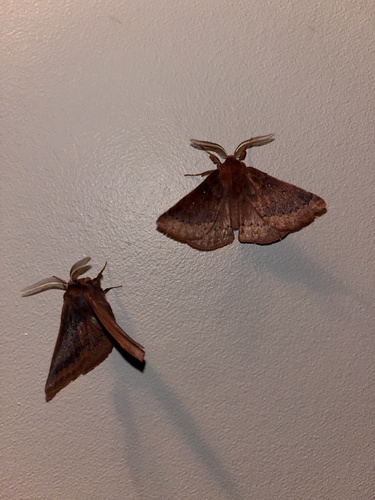
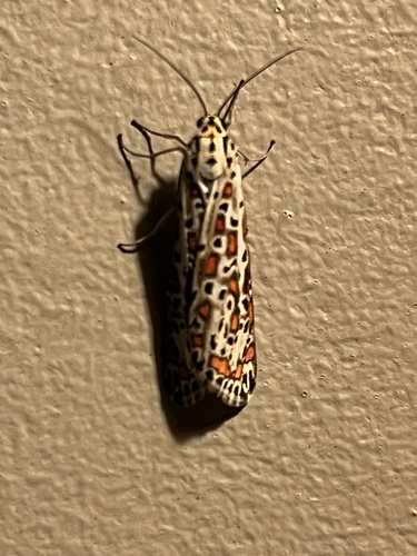
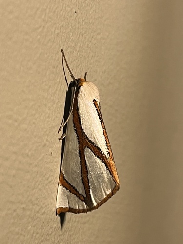
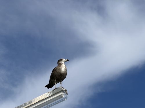
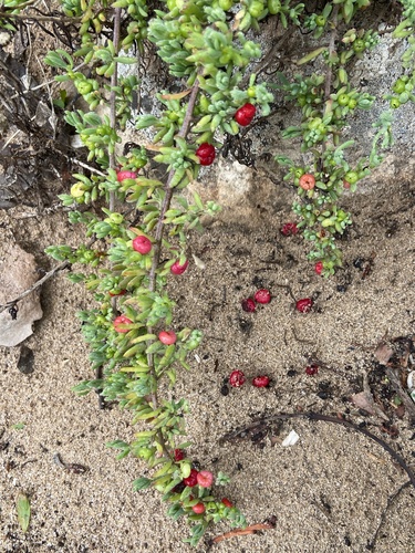
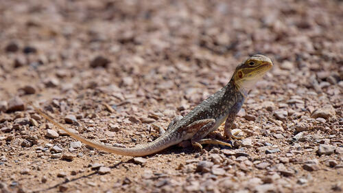
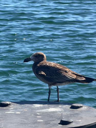
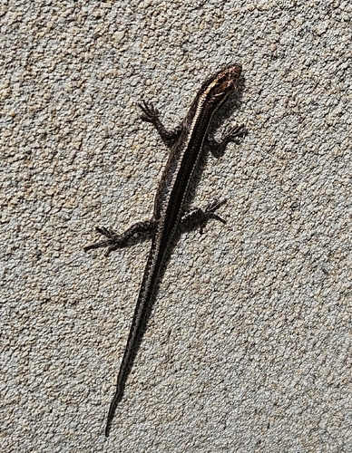
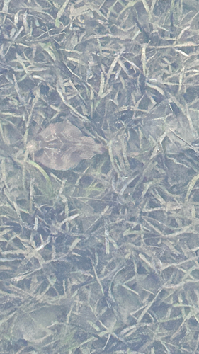
Research-grade observations from iNaturalist (within ~15 mi).
Events
Gallery
Geotagged photos within ~6 miles of Streaky Bay, from Wikimedia Commons contributors.
.jpg) 0.1 mi
0.1 mi.jpg) 0.1 mi
0.1 mi.jpg) 0.1 mi
0.1 mi.jpg) 0.1 mi
0.1 mi.jpg) 0.2 mi
0.2 mi.jpg) 0.2 mi
0.2 mi.jpg) 0.2 mi
0.2 mi.jpg) 0.2 mi
0.2 mi.jpg) 0.2 mi
0.2 mi.jpg) 0.2 mi
0.2 mi.jpg) 0.2 mi
0.2 mi.jpg) 0.2 mi
0.2 mi.jpg) 0.2 mi
0.2 mi.jpg) 0.2 mi
0.2 mi.jpg) 0.2 mi
0.2 mi.jpg) 0.2 mi
0.2 mi.jpg) 0.2 mi
0.2 mi.jpg) 0.2 mi
0.2 mi 0.2 mi
.jpg) 0.6 mi
0.6 mi.jpg) 0.6 mi
0.6 mi.jpg) 0.6 mi
0.6 mi.jpg) 0.6 mi
0.6 mi 0.6 mi
Photos via Wikimedia Commons — see each image page for license & attribution.
Sources
- • Wikipedia
- • Open-Meteo (ERA5 reanalysis)
- • Wikimedia Commons
- • Wikidata
- • USGS Earthquake Catalog (global feed)
- • GBIF (Global Biodiversity Information Facility)
- • iNaturalist
- • Open-Meteo / sunrise-sunset.org
- • Wikipedia Pageviews API