Browse / Australia / Queensland / Sunshine Coast
Sunshine Coast
Queenslandcity

Sunshine Coast
Total population
284,131
Air quality index
Demographic figures from Australian Bureau of Statistics. Overview below cites Wikipedia and may reference a different year.
City facts
Facts from Wikidata (CC0).
Overview
The Sunshine Coast is a peri-urban region in South East Queensland, Australia. In 1967, it was defined as "the area contained in the [former] Shires of Landsborough, Maroochy and Noosa, but excluding Bribie Island". Located 100 km (62 mi) north of the centre of Brisbane in South East Queensland, on the Coral Sea coastline, its urban area spans approximately 60 km (37 mi) of coastline and hinterland from Pelican Waters to Tewantin.
Read more on WikipediaHistory & geography
History
The earliest residents of the Sunshine Coast were the indigenous Gubbi Gubbi and Wakka Wakka people. The territory of the Kabi includes about along the coastline from the 27th parallel northward to the mouth of the Burrum River. In 1770, James Cook on the deck of HM Bark Endeavour became the first known European to sight the Glass House Mountains, located south-west of Caloundra. In the 1820s, former convicts John Finnegan, Thomas Pamphlett and Richard Parsons landed on Moreton Island after becoming hopelessly lost fetching cedar. They lived with the Kabi Kabi for eight months. Thereafter, during the 1830s to 1840s, the district became home to numerous runaway convicts from the Moreton Bay (Brisbane) penal colony slightly to the south. In 1842, Governor George Gipps had the entire Sunshine Coast and hinterland from Mt Beerwah north to roughly Eumundi declared a "Bunya Bunya Reserve" for the protection of the bunya tree after Andrew Petrie advised him of the importance of bunya groves in Aboriginal culture. However, during the 1840s and 1850s, the Bunya Bunya Reserve and its vicinity became the scene of some of the most bitter skirmishes of Australia's "Black War". The Blackall Range, on account of the tri-annual Bunya Festival, served as both a hideout and rallying point for attacks against white settlements. By the 1850s timber cutters and cattlemen had started exploiting the area; in 1860 the Bunya Bunya Reserve was scrapped. Many of the Sunshine Coast's towns began as simple ports or jetties for the timber industry during the 1860s and 1870s, as the area once had magnificent stands of forest. Likewise, the region's roads often began as snigging tracks for hauling timber. Timber getters used the region's creeks, rivers and lakes as seaways to float out their…
Geography
Major rivers of the Sunshine Coast include Noosa River, Maroochy River, Mooloolah River and the Stanley River. The region includes several lakes such as Lake Cootharaba and Lake Weyba. Ewen Maddock Dam, Wappa Dam and Baroon Pocket Dam have been built for water storage. Several stretches of the Sunshine Coast are lined with unbroken beaches – from Sunshine Beach near Noosa to Coolum Beach (); the coast from Point Arkwright to Mudjimba (); the Maroochydore–Mooloolaba stretch (); and from Buddina past the Caloundra CBD to Pelican Waters (). Noosa Main Beach, Alexandra Headland, Mooloolaba (the spit) and Coolum Beach are nationally recognised surfing beaches. Notable beaches include: * Sunshine Beach in Noosa * Sunrise Beach in Noosa * Castaways Beach in Noosa * Marcus Beach in Noosa * Peregian Beach in Noosa * Marcoola, Maroochydore * Mudjimba, Maroochydore * Mooloolaba, Mooloolaba * Kawana Waters, between Maroochydore and Caloundra * Dicky Beach in Caloundra * Moffat Beach in Caloundra * Shelly Beach in Caloundra * Kings Beach in Caloundra * Golden Beach in Caloundra The Sunshine Coast is home to more individual national parks than any other region in Queensland. The natural biodiversity of the area has been protected by five separate parks in both coastal and inland regions, including Mapleton Falls National Park, Kondalilla National Park, The Glass House Mountains National Park, Noosa National Park, and the Great Sandy National Park, which includes sections on K'gari and in Cooloola near Rainbow Beach. Sunshine Coast has a humid subtropical climate (Cfa) typical of South Queensland. Summers are generally hot, but moderated compared to areas on similar latitudes elsewhere. Winters retain warm days, but have cooler nights rendering it falling into the subtropical…
Excerpted from the corresponding Wikipedia article (CC BY-SA).
Geography
Coordinates & boundaries from the US Census TIGER/Line shapefiles.
Climate
Air quality
Current readings from Open-Meteo Air Quality API (Copernicus CAMS European reanalysis).
Walkability
Amenities nearby
Wildlife & biodiversity
Most-observed species
- Torresian CrowCorvus orru Bonaparte, 1850 · Aves6,577
- Rainbow LorikeetTrichoglossus haematodus (Linnaeus, 1771) · Aves6,103
- Australian MagpieGymnorhina tibicen (Latham, 1802) · Aves5,990
- Welcome SwallowHirundo neoxena Gould, 1842 · Aves5,741
- Magpie-larkGrallina cyanoleuca (Latham, 1802) · Aves5,384
- Lewin's HoneyeaterMeliphaga lewinii (Swainson, 1837) · Aves5,306
- Willie-wagtailRhipidura leucophrys (Latham, 1802) · Aves5,079
- Noisy MinerManorina melanocephala (Latham, 1801) · Aves4,600
Citizen-science & research observations from the Global Biodiversity Information Facility (GBIF).
Earthquake history
Events from the USGS Earthquake Catalog (global) (FDSN Event Web Service).
Photos
Sights & places nearby
Notable people from here


People born within ~10 km, from Wikidata (CC0). Click any name for their Wikipedia article.
Nearby places in Queensland
- Maroochydore0.1 mi away
- Bli Bli3.9 mi away
- Coolum Beach8.7 mi away
- Caloundra10.3 mi away
- Montville12.6 mi away
- Mapleton14.2 mi away · pop. 1,014
- Beerburrum22.5 mi away · pop. 487
- Kenilworth23 mi away · pop. 272
- Boreen Point26.3 mi away · pop. 336
- Bellthorpe26.4 mi away
- Woodford28.4 mi away
- D'Aguilar29.3 mi away
Geography & sun
Elevation, sunrise/sunset and daylight from Open-Meteo. Solar climatology from NASA POWER.
Nearby airports
Public attention
Pageview totals from the Wikimedia Pageviews API.
Books about Sunshine Coast

Search results from Open Library.
Recent natural events nearby
Ground air-quality sensors
Recently spotted species
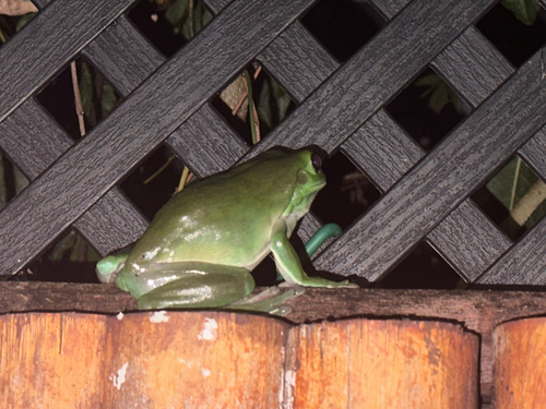
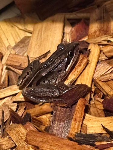
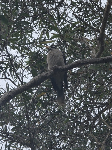
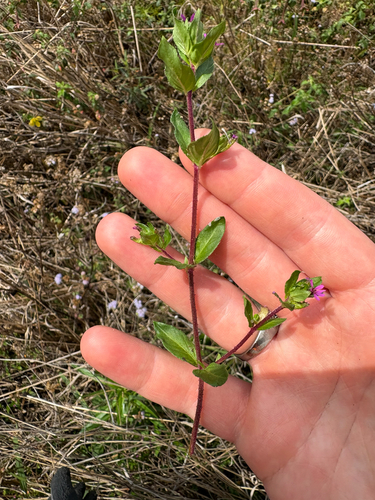
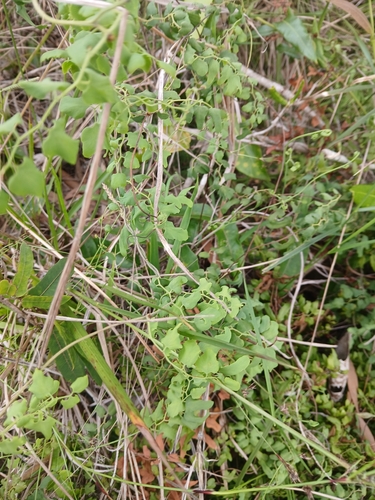
Research-grade observations from iNaturalist (within ~15 mi).
Events
Gallery
Geotagged photos within ~6 miles of Sunshine Coast, from Wikimedia Commons contributors.
.jpg) 0 mi
0 mi.jpg) 0 mi
0 mi.jpg) 0 mi
0 mi.jpg) 0 mi
0 mi 0 mi
0 mi 0.1 mi
.jpg) 0.1 mi
0.1 mi.jpg) 0.1 mi
0.1 mi.jpg) 0.1 mi
0.1 mi.jpg) 0.1 mi
0.1 mi.jpg) 0.1 mi
0.1 mi.jpg) 0.1 mi
0.1 mi 0.1 mi
 0.1 mi
 0.1 mi
 0.1 mi
 0.1 mi
 0.1 mi
 0.2 mi
 0.2 mi
 0.2 mi
 0.2 mi
 0.3 mi
 0.3 mi
Photos via Wikimedia Commons — see each image page for license & attribution.
Official Identifiers
ABS — Australian Bureau of Statistics
- ASGS 2021
- UCL302002
- Population (Wikidata)
- 284,131
- Wikidata
- Q828357
ASGS 2021 ID via Wikidata P10112
Sources
- • Wikipedia
- • Wikimedia Commons
- • Wikidata
- • Open-Meteo Air Quality (CAMS)
- • USGS Earthquake Catalog (global feed)
- • GBIF (Global Biodiversity Information Facility)
- • iNaturalist
- • Open-Elevation
- • Open-Meteo / sunrise-sunset.org
- • Wikipedia Pageviews API
- • Open Library
- • ABS — Australian Bureau of Statistics — ASGS 2021 ID via Wikidata P10112