Browse / Australia / Queensland / Taylors Beach
Taylors Beach
Queenslandvillage
Total population
297
Air quality index
Demographic figures from Australian Bureau of Statistics. Overview below cites Wikipedia and may reference a different year.
City facts
Overview
Taylors Beach is a coastal town and locality in the Shire of Hinchinbrook, Queensland, Australia. It takes its name from its beach. In the 2021 census, the locality of Taylors Beach had a population of 297 people.
Read more on WikipediaHistory & geography
History
The town was formerly known as Cassady after Francis Andrew O'Connor Cassady who was mayor of the City of Townsville in 1894, 1901 and 1905. However, it was renamed Taylors Beach on 1 October 1969.
Geography
Taylors Beach is located east of Ingham. It is bounded by the Coral Sea on the east where there are long sandy beaches. It is divided into a northern and southern section by the estuary where Victoria Creek flows into the Coral Sea; the southern section having a long northern spit providing shelter to the beaches of the northern part. The residential development is adjacent to the beaches of the northern part. Apart from some farming in the northern part, most of the locality is undeveloped.
Excerpted from the corresponding Wikipedia article (CC BY-SA).
Geography
Coordinates & boundaries from the US Census TIGER/Line shapefiles.
Climate
Air quality
Current readings from Open-Meteo Air Quality API (Copernicus CAMS European reanalysis).
Walkability
Amenities nearby
Wildlife & biodiversity
Most-observed species
- Willie-wagtailRhipidura leucophrys (Latham, 1802) · Aves1,784
- Masked LapwingVanellus miles (Boddaert, 1783) · Aves1,544
- Peaceful DoveGeopelia placida Gould, 1844 · Aves1,424
- Comb-crested JacanaIrediparra gallinacea (Temminck, 1828) · Aves1,308
- Crimson FinchNeochmia phaeton (Hombron & Jacquinot, 1841) · Aves1,206
- Brown HoneyeaterLichmera indistincta (Vigors & Horsfield, 1827) · Aves1,162
- Bar-shouldered DoveGeopelia humeralis (Temminck, 1821) · Aves1,015
- Australasian DarterAnhinga novaehollandiae (Gould, 1847) · Aves991
Citizen-science & research observations from the Global Biodiversity Information Facility (GBIF).
Earthquake history
Most recent
- M 4.1 — 2025-03-010 km SE of Kelso, Australia
- M 4.8 — 2003-08-1165 km ENE of Palm Island, Australia
Events from the USGS Earthquake Catalog (global) (FDSN Event Web Service).
Photos
Sights & places nearby
Notable people from here
People born within ~10 km, from Wikidata (CC0). Click any name for their Wikipedia article.
Nearby places in Queensland
- Trebonne16.2 mi away · pop. 270
- Mutarnee22.9 mi away
- Balgal Beach27.7 mi away
- Tully Heads45.6 mi away · pop. 477
- Hervey Range52.5 mi away
- Mission Beach54.1 mi away · pop. 1,014
- Bingil Bay56.8 mi away · pop. 438
- Alligator Creek68.7 mi away
- Mena Creek71.2 mi away · pop. 210
- Mourilyan74.3 mi away · pop. 391
- East Palmerston77.1 mi away · pop. 220
- Berner Creek78 mi away · pop. 16
Geography & sun
Elevation, sunrise/sunset and daylight from Open-Meteo. Solar climatology from NASA POWER.
Nearby airports
Public attention
Pageview totals from the Wikimedia Pageviews API.
Books about this place
Recent natural events nearby
Ground air-quality sensors
Recently spotted species
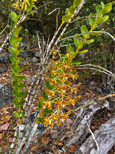
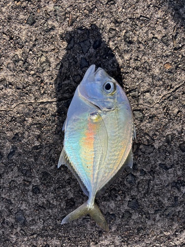
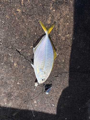
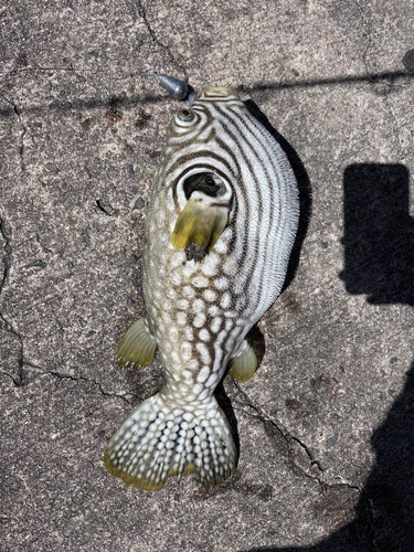
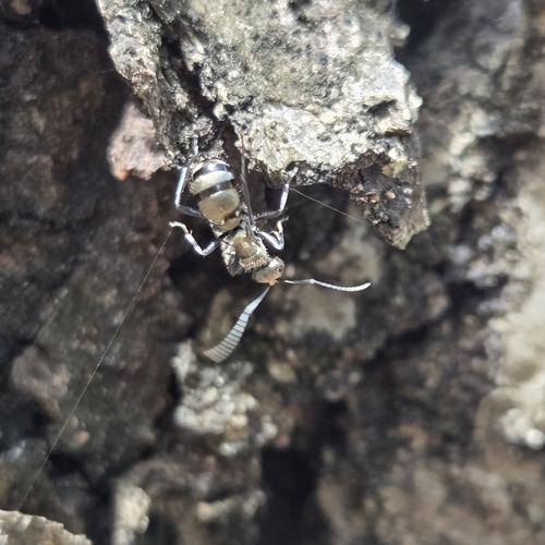
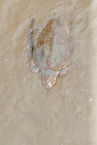
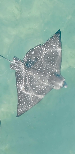

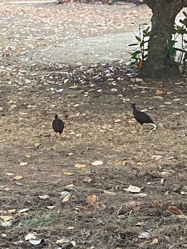
Research-grade observations from iNaturalist (within ~15 mi).
Events
Gallery
Sources
- • Wikipedia
- • Wikidata
- • Open-Meteo Air Quality (CAMS)
- • USGS Earthquake Catalog (global feed)
- • GBIF (Global Biodiversity Information Facility)
- • iNaturalist
- • Open-Meteo / sunrise-sunset.org
- • Wikipedia Pageviews API