Browse / Australia / Northern Territory / Ti Tree
Ti Tree
Northern Territoryvillage

Ti Tree
Total population
153
Demographic figures from Australian Bureau of Statistics. Overview below cites Wikipedia and may reference a different year.
City facts
Overview
Ti-Tree is a town and locality in the Northern Territory of Australia located on the Stuart Highway about 1,109 kilometres (689 mi) south of the territory capital of Darwin and about 193 km north of the municipal seat in Alice Springs.
Read more on WikipediaHistory & geography
History
The Anmatyerre name for the area close to Ti-Tree township is Aleyaw but no one seems to know how or where the name Ti-Tree or Tea Tree came from. One of the first features in the area to be named was Tea Tree Well No. 3 (still to be seen on the western side of the highway just south of the township) which was developed during the construction of the Overland Telegraph Line. The remains of Tea Tree Well No. 2 can be found at the southern end of the air strip. In 1888 an area of about 64 km incorporating the well was formally set aside as the Tea Tree Telegraph Reserve and in 1919 W. J. 'Bill' Heffernan was granted a lease to a parcel of land which he called Tea Tree Station. The current station covers an area of 3584 km2. Since the construction of the Overland Telegraph Line, Tea Tree Well had become known for its good supply of sweet water but this was not enough to make Heffernan's labours financially rewarding. By 1935 the run was poorly improved with primitive buildings and no horse or bullock paddocks. Heffernan died in Alice Springs in 1969 and the station was carried on by his widow. In 1975, Ian Dahlenburg took up of the station and established Dahlenburg Horticultural Enterprise which now grows grapes and watermelons on Ti-Tree Farm. In 1976, Tea Tree Station was sold to the Aboriginal Land Fund Commission and became a subject of a land claim on behalf of the local Aboriginal people. Much of the area surrounding Ti Tree township is now within the bounds of the Ahakeye Land Trust, an Aboriginal Freehold Lease. In 1980, the local community petitioned the Northern Territory Legislative Assembly to change the spelling from "Tea Tree" to "Ti-Tree". On 15 May 1981, the area of the town was gazetted and on 22 April 1983, its name was…
Excerpted from the corresponding Wikipedia article (CC BY-SA).
Geography
Coordinates & boundaries from the US Census TIGER/Line shapefiles.
Climate
Air quality
Walkability
Amenities nearby
Wildlife & biodiversity
Most-observed species
- Magpie-larkGrallina cyanoleuca (Latham, 1802) · Aves23
- Zebra FinchTaeniopygia guttata (Vieillot, 1817) · Aves22
- Black KiteMilvus migrans (Boddaert, 1783) · Aves22
- GalahEolophus roseicapilla (Vieillot, 1817) · Aves19
- Diamond DoveGeopelia cuneata (Latham, 1801) · Aves19
- BudgerigarMelopsittacus undulatus (Shaw, 1805) · Aves18
- Whistling KiteHaliastur sphenurus (Vieillot, 1818) · Aves18
- Little CrowCorvus bennetti North, 1901 · Aves18
Citizen-science & research observations from the Global Biodiversity Information Facility (GBIF).
Earthquake history
Most recent
- M 3.2 — 2004-01-23188 km NW of Larapinta, Australia
Events from the USGS Earthquake Catalog (global) (FDSN Event Web Service).
Photos
Sights & places nearby
Notable people from here
People born within ~10 km, from Wikidata (CC0). Click any name for their Wikipedia article.
Nearby places in Northern Territory
- Pine Hill29 mi away
- Wilora33.5 mi away
- Laramba50.7 mi away · pop. 189
- Tara56.8 mi away
- Barrow Creek70.1 mi away
- Yuelamu78 mi away · pop. 149
- Willowra79.9 mi away · pop. 222
- Engawala81 mi away
- Iylentye84.4 mi away
- Arlparra86.9 mi away · pop. 90
- Indaringinya89.2 mi away · pop. 100
- Ngkwarlerlanem92.3 mi away · pop. 20
Geography & sun
Elevation, sunrise/sunset and daylight from Open-Meteo. Solar climatology from NASA POWER.
Nearby airports
Public attention
Pageview totals from the Wikimedia Pageviews API.
Books about Ti Tree


Search results from Open Library.
Recent natural events nearby
Ground air-quality sensors
Recently spotted species
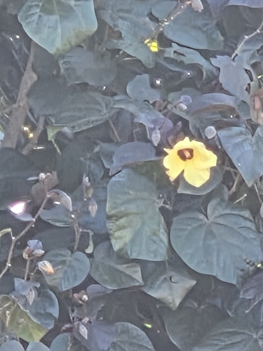
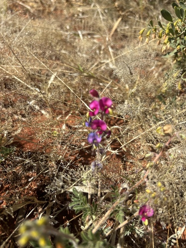
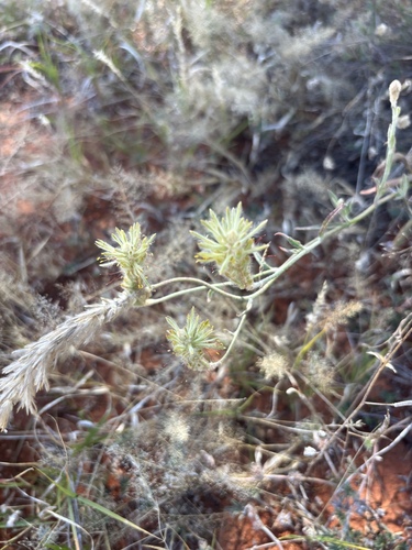
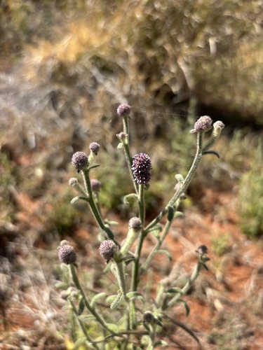
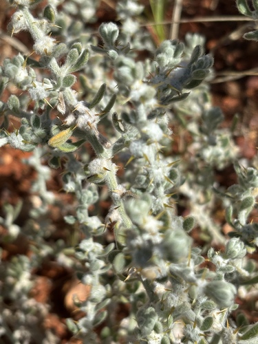
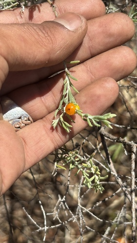
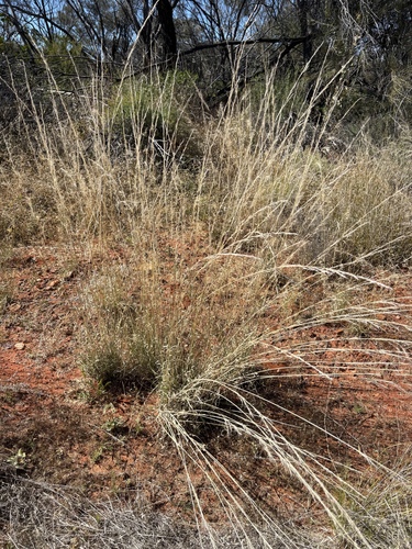
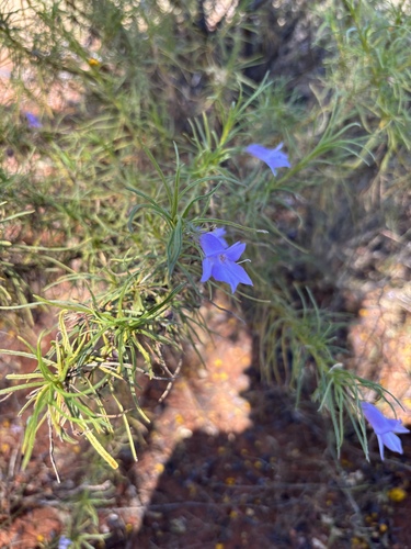
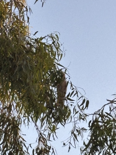
Research-grade observations from iNaturalist (within ~15 mi).
Events
Gallery
Official Identifiers
ABS — Australian Bureau of Statistics
- ASGS 2021
- SAL70256
- Population (Wikidata)
- 70
- Wikidata
- Q18019
ASGS 2021 ID via Wikidata P10112
Sources
- • Wikipedia
- • Wikidata
- • USGS Earthquake Catalog (global feed)
- • GBIF (Global Biodiversity Information Facility)
- • iNaturalist
- • Open-Meteo / sunrise-sunset.org
- • Wikipedia Pageviews API
- • Open Library
- • ABS — Australian Bureau of Statistics — ASGS 2021 ID via Wikidata P10112