Browse / Australia / Northern Territory / Tindal
Tindal
Northern Territoryvillage

Tindal
Demographic figures from Australian Bureau of Statistics. Overview below cites Wikipedia and may reference a different year.
City facts
Facts from Wikidata (CC0).
Overview
RAAF Base Tindal also known as Tindal Air Base is a Royal Australian Air Force (RAAF) major Australian military air base and civil aviation airfield located 8 nautical miles east southeast of the town of Katherine, Northern Territory in Australia. The base is currently home to No. 75 Squadron and a number of non-flying units, and also hosts the civilian Katherine Tindal Airport. First constructed in 1942, it was refurbished in the late 1960s as a bare base capable of being utilised when required. It was opened as a permanently manned RAAF base in 1989.
Read more on WikipediaHistory & geography
History
Tindal was initially built for the RAAF as Carson's Airfield in 1942. The airfield was constructed by the US Army's 43rd Engineer General Service Regiment. Its purpose was to provide a base for Consolidated B-24 Liberator heavy bombers that could strike at Japanese targets in Papua New Guinea and the Dutch East Indies, but the turning tide of the war rendered this unnecessary and no aircraft were deployed there before the cessation of hostilities. In 1946, the airfield was renamed in honour of Wing Commander Archibald (Archie) Tindal, the first RAAF member killed in action on the Australian mainland during World War II; he died while manning a machine gun against Japanese raiders bombing Darwin on 19 February 1942, and was buried at the Adelaide River war cemetery. In 1959, the Chief of the Air Staff, Air Marshal Sir Frederick Scherger, proposed building a second airfield in the Darwin area. Like Tindal, he had been in Darwin when it was bombed by the Japanese in 1942, and believed that Australia's defences in the north needed to be strengthened. Following a survey, Tindal was selected in May 1963 as being close enough to RAAF Base Darwin to afford mutual protection, but far enough from the coast to be defensible and to avoid the effects of tropical cyclones. Other factors, such as being outside the projected nuclear fall-out zone should Darwin be targeted by a nuclear weapon, as well as an adequate water supply and suitable road and rail connections, also influenced the decision. Conceived as an "Un-Manned Operational Base" (later to be known as a bare base), Tindal was to have no permanent staff and very few buildings. Essentially it would consist of a runway, taxiways and hardstanding along with the minimal infrastructure, such as electricity and water, to permit…
Excerpted from the corresponding Wikipedia article (CC BY-SA).
Geography
Coordinates & boundaries from the US Census TIGER/Line shapefiles.
Climate
10-year averages from ERA5 reanalysis (Open-Meteo).
Air quality
Walkability
Amenities nearby
Wildlife & biodiversity
Most-observed species
- NeemAzadirachta indica A.Juss. · Magnoliopsida2,719
- Magpie-larkGrallina cyanoleuca (Latham, 1802) · Aves2,239
- Black KiteMilvus migrans (Boddaert, 1783) · Aves1,837
- Red-collared LorikeetTrichoglossus rubritorquis Vigors & Horsfield, 1827 · Aves1,791
- MudarCalotropis procera (Aiton) W.T.Aiton · Magnoliopsida1,518
- Bar-shouldered DoveGeopelia humeralis (Temminck, 1821) · Aves1,506
- Masked LapwingVanellus miles (Boddaert, 1783) · Aves1,483
- Great BowerbirdChlamydera nuchalis (Jardine & Selby, 1830) · Aves1,353
Citizen-science & research observations from the Global Biodiversity Information Facility (GBIF).
Earthquake history
Events from the USGS Earthquake Catalog (global) (FDSN Event Web Service).
Photos
Sights & places nearby
Notable people from here
Nearby places in Northern Territory
- Barunga31.3 mi away · pop. 337
- Minyerri123.1 mi away · pop. 650
- Daly River125.6 mi away · pop. 350
- Hodgson River Station135.6 mi away
- Koolpinyah149.9 mi away
- Timber Creek150.8 mi away · pop. 278
- Myatt152.5 mi away · pop. 122
- Gilwi152.9 mi away · pop. 29
- Kabulwarnamyo154.3 mi away
- Peppimenarti157.2 mi away · pop. 185
- Bobs Yard158.3 mi away
- Bees Creek161.6 mi away · pop. 1,000
Geography & sun
Elevation, sunrise/sunset and daylight from Open-Meteo. Solar climatology from NASA POWER.
Nearby airports
Public attention
Pageview totals from the Wikimedia Pageviews API.
Books about Tindal
Search results from Open Library.
Recent natural events nearby
Ground air-quality sensors
Recently spotted species
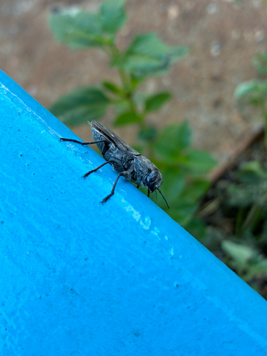
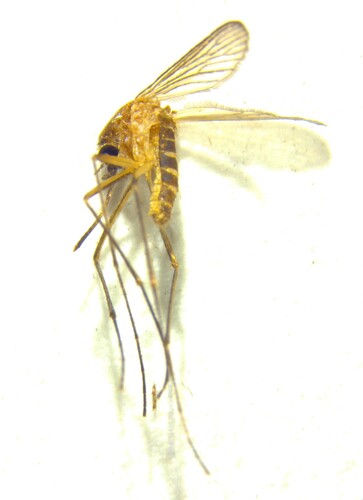
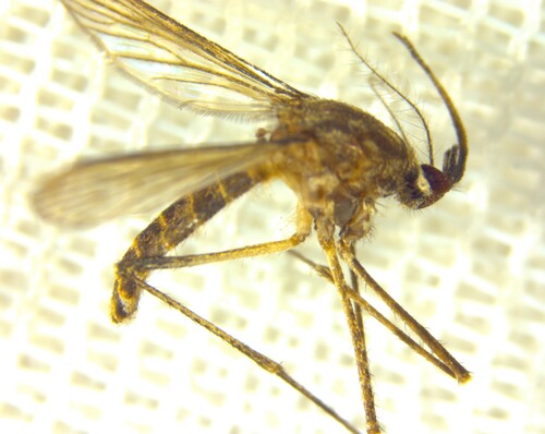
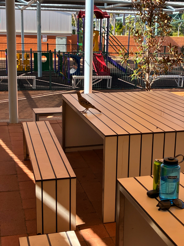
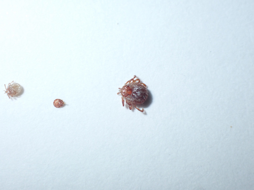
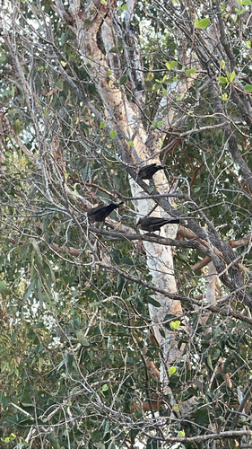
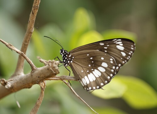
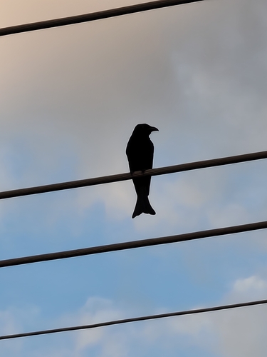
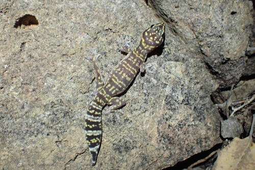
Research-grade observations from iNaturalist (within ~15 mi).
Events
Gallery
Geotagged photos within ~6 miles of Tindal, from Wikimedia Commons contributors.


.jpg)
.jpg)
Photos via Wikimedia Commons — see each image page for license & attribution.
Official Identifiers
ABS — Australian Bureau of Statistics
- ASGS 2021
- SAL70258
- Population (Wikidata)
- 850
- Wikidata
- Q31204632
ASGS 2021 ID via Wikidata P10112
Sources
- • Wikipedia
- • Open-Meteo (ERA5 reanalysis)
- • Wikimedia Commons
- • Wikidata
- • USGS Earthquake Catalog (global feed)
- • GBIF (Global Biodiversity Information Facility)
- • iNaturalist
- • Open-Meteo / sunrise-sunset.org
- • Wikipedia Pageviews API
- • Open Library
- • ABS — Australian Bureau of Statistics — ASGS 2021 ID via Wikidata P10112