Browse / Australia / Northern Territory / Umbakumba
Umbakumba
Northern Territorytown
Total population
419
Demographic figures from Australian Bureau of Statistics. Overview below cites Wikipedia and may reference a different year.
City facts
Overview
Umbakumba is a community located on Groote Eylandt in the Gulf of Carpentaria, Northern Territory, Australia. The main spoken languages are Anindilyakwa, an Australian Aboriginal language, and English. There are also several Yolŋu Matha speakers. It is one of the three main settlements on the Groote Eylandt archipelago, including Milyakburra and Angurugu, where Anindilyakwa is the predominant spoken language. According to the 2016 Australian Census, the population of Umbakumba was 503, an increase from 441 in 2011.
Read more on WikipediaHistory & geography
History
Before European contact, Macassan sailors would visit the area searching for trepang from around the early to mid-1700s. They introduced culinary delights such as tamarinds, chilli and beer. The trade continued until the Australian Government introduced the White Australia Policy in 1906. There is still evidence of the Macassans, such as the wild tamarind trees, which the traders introduced to the area. The place-name itself Umbakumba comes from the Malay word ombak-ombak, which means ‘lapping of waves’. Mr Fred H. Gray, a pearl and trepang trader, established the Umbakumba Native Settlement on an old Macassan trading post. He used the settlement as a base for trepanging and employed many of the indigenous locals during the 20s and 30s. In 1938 Umbakumba became renowned as the service and refuelling base for the Qantas Empire Airways flying boats that travelled the long-haul route between Sydney, Singapore and the south of England. During WWII, this converted to a Royal Australian Air Force flying base. The Church Mission Society, which was running the Angurugu Mission on the western side of the island, did not endorse Gray's position on the island. When CMS withdrew the support of the settlement, Gray stated that he chose to continue with the work he had begun. In May 1956, the Northern Territory Administrator sent a letter to Gray stating that it was government policy only to approve of Missions run by recognised "Christian Missionary Organisations", which would exclude "the establishment and conduct of Missions by private individuals as proprietary concerns." The government withdrew the subsidy paid to the settlement. The Church Mission Society took over control over the settlement administration on February 17, 1958, with Keith Hart as superintendent. CMS…
Excerpted from the corresponding Wikipedia article (CC BY-SA).
Geography
Coordinates & boundaries from the US Census TIGER/Line shapefiles.
Climate
Air quality
Walkability
Amenities nearby
Wildlife & biodiversity
Most-observed species
- darwin stringybarkEucalyptus tetrodonta F.Muell. · Magnoliopsida29
- sugar grassHeteropogon triticeus (R.Br.) Stapf ex Craib · Liliopsida26
- black-beanErythrophleum chlorostachys (F.Muell.) Baill. · Magnoliopsida24
- Green PlumBuchanania obovata Engl. · Magnoliopsida21
- western salwoodAcacia lamprocarpa O.Schwarz · Magnoliopsida19
- yellow hakeaHakea arborescens R.Br. · Magnoliopsida19
- Sarga plumosa (R.Br.) SpanglerSarga plumosa (R.Br.) Spangler · Liliopsida16
- Quinine BushPetalostigma banksii Britten & S.Moore · Magnoliopsida14
Citizen-science & research observations from the Global Biodiversity Information Facility (GBIF).
Earthquake history
Events from the USGS Earthquake Catalog (global) (FDSN Event Web Service).
Photos
Sights & places nearby
Notable people from here
Nearby places in Northern Territory
- Alyingberrma3.5 mi away
- Amirraba4.6 mi away
- Angurugu24.8 mi away · pop. 883
- Dhuruputjpi70.1 mi away
- Dhalinybuy104.1 mi away
- Yirrkala111.1 mi away · pop. 657
- Gunyangara113.7 mi away · pop. 241
- Raymangirr118.3 mi away
- Rorruwuy119.6 mi away · pop. 27
- Yinyikay120.6 mi away
- Wurdijiya124.8 mi away
- Dhupuwamirri126 mi away
Geography & sun
Elevation, sunrise/sunset and daylight from Open-Meteo. Solar climatology from NASA POWER.
Nearby airports
Public attention
Pageview totals from the Wikimedia Pageviews API.
Books about this place
Recent natural events nearby
Ground air-quality sensors
Recently spotted species
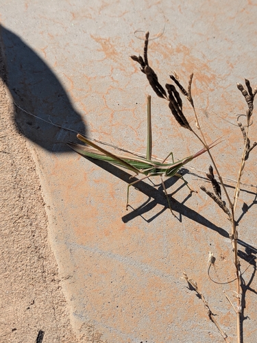
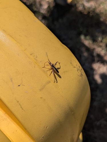
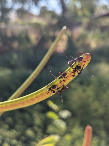
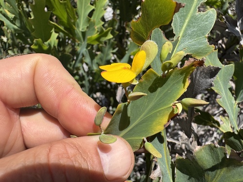
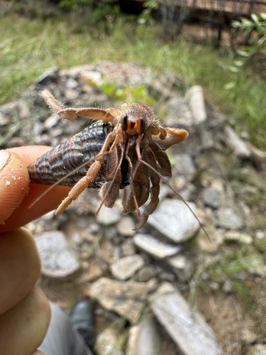
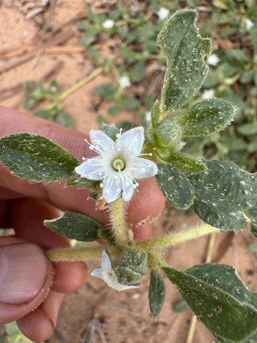
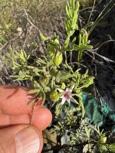
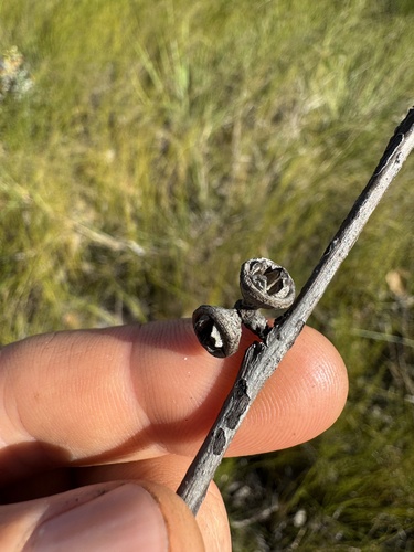
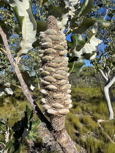
Research-grade observations from iNaturalist (within ~15 mi).
Events
Gallery
Sources
- • Wikipedia
- • Wikidata
- • USGS Earthquake Catalog (global feed)
- • GBIF (Global Biodiversity Information Facility)
- • iNaturalist
- • Open-Meteo / sunrise-sunset.org
- • Wikipedia Pageviews API