Browse / Australia / South Australia / Wasleys
Wasleys
South Australiavillage

Wasleys
Total population
661
Air quality index
Demographic figures from Australian Bureau of Statistics. Overview below cites Wikipedia and may reference a different year.
City facts
Overview
Wasleys is a small town north-west of Gawler, South Australia. Roseworthy College is located around 6 km (3.7 mi) south of the town.
Read more on WikipediaHistory & geography
History
The town is named after Joseph Wasley, who arrived in the colony of South Australia in 1838. After having been a successful miner at Burra in South Australia as well as the Victorian goldfields, he took up five sections in the Hundred of Mudla Wirra (which had been established in 1847), known as the Mudla Wirra Forest. The name mudla wirra comes from the Kaurna language, but may have been misinterpreted in multiple sources, perhaps arising from the online version of Manning's Index. It has been reported that mudla means" implement", giving rise to the translation "a forest where implements are obtained", but in a newer publication (revised in 2012), Manning writes "Professor Tindale says that an alternative derivation is based on the word mudla meaning ‘nose’" (as in the Kaurna name for the Lefevre Peninsula, mudlanga. and other sources confirm this. Tindale and many others based their work on the work of German missionaries Teichelmann and Schürmann, who compiled a grammar and wordlist of the Kaurna language in 1840. In this work, mudla is recorded as meaning "nose", while mudli means implement. After British colonisation of South Australia, some early settlers in the region made notable contributions to Australian agriculture: *In 1843, John Ridley invented a machine known as "Ridley's Stripper", which removed the heads of grain, with the threshing being done later by a separate machine. *In the 1860s, a local farmer named Charles Mullen, an Irish immigrant, created a method of ploughing which was known as "mullenising", using what became known as a scrub roller or mallee roller. Mullen invented an implement, used throughout Australia, which was the precursor of the stump-jump plough. *In 1866–1877, farmer Richard Marshall's experiments with cross-breeding various…
Excerpted from the corresponding Wikipedia article (CC BY-SA).
Geography
Coordinates & boundaries from the US Census TIGER/Line shapefiles.
Climate
10-year averages from ERA5 reanalysis (Open-Meteo).
Air quality
Current readings from Open-Meteo Air Quality API (Copernicus CAMS European reanalysis).
Walkability
Amenities nearby
Wildlife & biodiversity
Most-observed species
- Australian MagpieGymnorhina tibicen (Latham, 1802) · Aves555
- Crimson RosellaPlatycercus elegans (Gmelin, 1788) · Aves533
- Crested PigeonOcyphaps lophotes (Temminck, 1822) · Aves470
- Willie-wagtailRhipidura leucophrys (Latham, 1802) · Aves468
- White-plumed HoneyeaterPtilotula penicillata (Gould, 1837) · Aves459
- European StarlingSturnus vulgaris Linnaeus, 1758 · Aves418
- GalahEolophus roseicapilla (Vieillot, 1817) · Aves414
- Red WattlebirdAnthochaera carunculata (Shaw, 1790) · Aves337
Citizen-science & research observations from the Global Biodiversity Information Facility (GBIF).
Earthquake history
Most recent
- M 3 — 2022-03-293 km ESE of Macclesfield, Australia
- M 4 — 2022-03-053 km SW of Mount Barker, Australia
- M 4.4 — 2020-05-1415 km WSW of Burra, Australia
- M 3.2 — 2018-08-0811 km WNW of Mannum, Australia
- M 3.9 — 2017-02-019 km NW of Murray Bridge, Australia
- M 3.3 — 2011-10-183 km ESE of Hawthorndene, Australia
Events from the USGS Earthquake Catalog (global) (FDSN Event Web Service).
Photos
Sights & places nearby
Notable people from here
Nearby places in South Australia
- Roseworthy5.5 mi away · pop. 987
- Shea-Oak Log8 mi away
- Greenock14.1 mi away · pop. 1,045
- Kapunda16.1 mi away · pop. 2,633
- One Tree Hill17.6 mi away · pop. 543
- Alma Vale17.6 mi away
- Middle Beach18 mi away
- St Kilda20.3 mi away · pop. 77
- Salisbury20.3 mi away
- Hamilton20.6 mi away · pop. 23
- Penrice21.2 mi away
- Kersbrook23.5 mi away · pop. 417
Geography & sun
Elevation, sunrise/sunset and daylight from Open-Meteo. Solar climatology from NASA POWER.
Nearby airports
Public attention
Pageview totals from the Wikimedia Pageviews API.
Books about Wasleys
Search results from Open Library.
Recent natural events nearby
Ground air-quality sensors
Recently spotted species
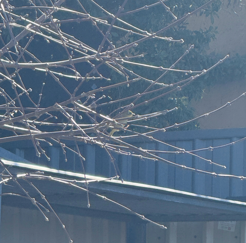
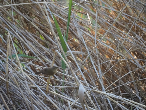
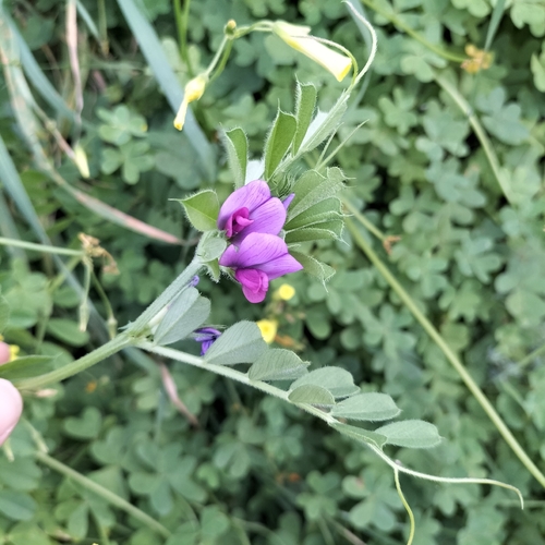
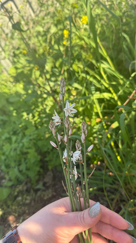
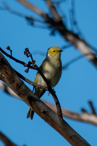
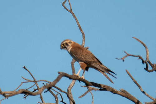
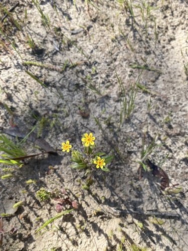
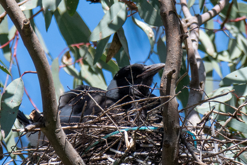
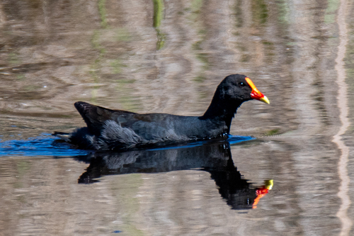
Research-grade observations from iNaturalist (within ~15 mi).
Events
Gallery
Geotagged photos within ~6 miles of Wasleys, from Wikimedia Commons contributors.
 0.1 mi
 0.1 mi
 0.1 mi
 2.1 mi
 2.1 mi
 3 mi
3 mi 3 mi
3 mi 3.1 mi
 3.1 mi
 3.1 mi
 3.1 mi
 3.1 mi
.jpg) 4.9 mi
4.9 mi_--_cropped.jpg) 4.9 mi
4.9 mi 5.1 mi
 5.1 mi
 5.1 mi
.jpg) 5.5 mi
5.5 mi 5.7 mi
 5.7 mi
 5.7 mi
 5.7 mi
 5.7 mi
 5.7 mi
Photos via Wikimedia Commons — see each image page for license & attribution.
Sources
- • Wikipedia
- • Open-Meteo (ERA5 reanalysis)
- • Wikimedia Commons
- • Wikidata
- • Open-Meteo Air Quality (CAMS)
- • USGS Earthquake Catalog (global feed)
- • GBIF (Global Biodiversity Information Facility)
- • iNaturalist
- • Open-Elevation
- • Open-Meteo / sunrise-sunset.org
- • Wikipedia Pageviews API
- • Open Library