Browse / Australia / Queensland / Yarwun
Yarwun
Queenslandvillage

Yarwun
Demographic figures from Australian Bureau of Statistics. Overview below cites Wikipedia and may reference a different year.
City facts
Overview
Yarwun is a rural town and coastal locality in the Gladstone Region, Queensland, Australia. In the 2021 census, the locality of Yarwun had a population of 89 people.
Read more on WikipediaHistory & geography
History
Yarwun Provisional School opened on 5 June 1906. It became Yarwun State School on 1 January 1909. The school was relocated to the centre of town in the late 1990s in a land swap with Queensland Rail as part of the straightening and duplication of the North Coast railway line. The Yarwun-Targinnie Co-operative Association was established in 1924 to market locally-grown fruit. The district was well known for its pawpaws. In 1963 the Co-op established a store at 60 Butler Street to provide goods needed for fruit production, such as timber cases. Later the store expanded to general goods for the community and postal services. In June 2003, the Yarwun railway station was relocated to the Calliope River Historical Village as its ticket office and kiosk. In March 2005, Rio Tinto Alcan opened an alumina refinery in Yarwun. Bauxite from Weipa is processed by the Bayer process into alumina. The refinery was expanded in 2012 including a 160 megawatt co-generation facility, which converts heat into electricity.
Geography
The North Coast railway line enters the locality from the south-west (Byellee), passes to the north of the town, and then exits to the south-east (Aldoga). * Fishermans Landing railway station on a branch line () The terrain ranges from above sea level; there are no named peaks.
Excerpted from the corresponding Wikipedia article (CC BY-SA).
Geography
Coordinates & boundaries from the US Census TIGER/Line shapefiles.
Climate
10-year averages from ERA5 reanalysis (Open-Meteo).
Air quality
Walkability
Amenities nearby
Wildlife & biodiversity
Most-observed species
- Rainbow LorikeetTrichoglossus haematodus (Linnaeus, 1771) · Aves1,328
- Torresian CrowCorvus orru Bonaparte, 1850 · Aves1,207
- Brown HoneyeaterLichmera indistincta (Vigors & Horsfield, 1827) · Aves960
- Laughing KookaburraDacelo novaeguineae (Hermann, 1783) · Aves870
- Peaceful DoveGeopelia placida Gould, 1844 · Aves836
- Willie-wagtailRhipidura leucophrys (Latham, 1802) · Aves799
- Blue-faced HoneyeaterEntomyzon cyanotis (Latham, 1801) · Aves754
- Double-barred FinchTaeniopygia bichenovii (Vigors & Horsfield, 1827) · Aves747
Citizen-science & research observations from the Global Biodiversity Information Facility (GBIF).
Earthquake history
Events from the USGS Earthquake Catalog (global) (FDSN Event Web Service).
Photos
Sights & places nearby
Notable people from here
People born within ~10 km, from Wikidata (CC0). Click any name for their Wikipedia article.
Nearby places in Queensland
- West Stowe7.2 mi away
- Mount Larcom9.7 mi away · pop. 238
- Ubobo40.6 mi away
- Miriam Vale43.2 mi away · pop. 385
- Rockhampton50.8 mi away
- Seventeen Seventy52.6 mi away · pop. 125
- Kabra53.1 mi away
- Agnes Water55 mi away · pop. 1,205
- Goovigen57.2 mi away
- Kalpowar59.7 mi away
- Moonford63.7 mi away · pop. 160
- Rosedale73.4 mi away · pop. 153
Geography & sun
Elevation, sunrise/sunset and daylight from Open-Meteo. Solar climatology from NASA POWER.
Nearby airports
Public attention
Pageview totals from the Wikimedia Pageviews API.
Books about this place
Recent natural events nearby
Ground air-quality sensors
Recently spotted species
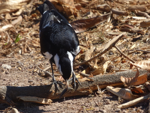
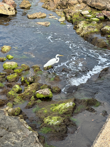
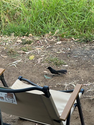
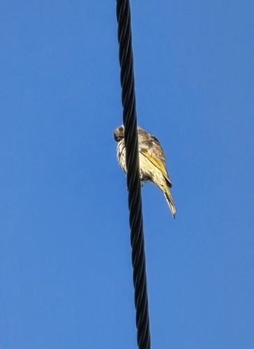
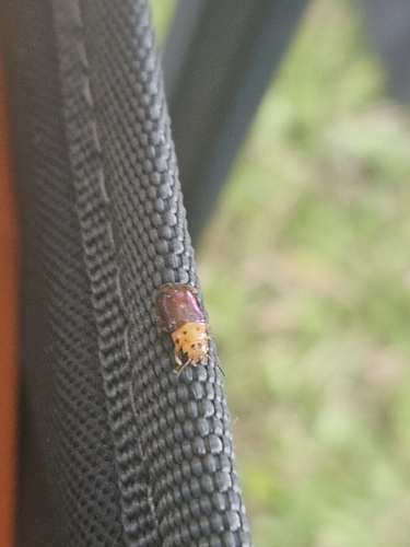
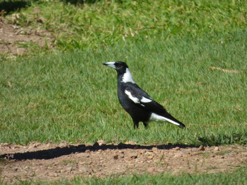
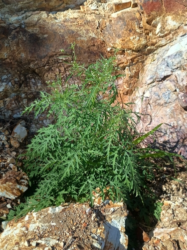
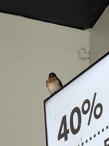
Research-grade observations from iNaturalist (within ~15 mi).
Events
Gallery
Official Identifiers
ABS — Australian Bureau of Statistics
- ASGS 2021
- SAL33213
- Population (Wikidata)
- 89
- Wikidata
- Q18166646
ASGS 2021 ID via Wikidata P10112
Sources
- • Wikipedia
- • Open-Meteo (ERA5 reanalysis)
- • Wikidata
- • USGS Earthquake Catalog (global feed)
- • GBIF (Global Biodiversity Information Facility)
- • iNaturalist
- • Open-Meteo / sunrise-sunset.org
- • Wikipedia Pageviews API
- • ABS — Australian Bureau of Statistics — ASGS 2021 ID via Wikidata P10112