Browse / United States / Arizona / Ash Fork
Ash Fork
ArizonaCDP

Ash Fork
Total population
458
Median home value
$183,000
Bachelor's+
Median income
$48,563
Demographic figures from US Census Bureau · ACS 5-year estimates. Overview below cites Wikipedia and may reference a different year.
City facts
Facts from Wikidata (CC0).
Overview
Ash Fork is a census-designated place in Yavapai County, Arizona, United States. Its population was 396 at the 2010 U.S. census, down from 457 in 2000.
Read more on WikipediaHistory & geography
History
Ash Fork has proclaimed itself "The Flagstone Capital of the World", due to the large number of stone quarries and stone yards in and around the town. The community was established as a siding of the Atlantic and Pacific Railroad, later known as the Santa Fe Railroad, in October 1882. It was purportedly named in 1883 by F.W. Smith, general superintendent of the railroad, in reference to a thicket of ash trees at the site. The first official post office was established on April 12, 1883, with one Henry W. Kline serving as the first Postmaster. Following an uncontrollable fire in 1885, the entire town of Ash Fork burned in 1893, and was rebuilt on the opposite side of the railroad tracks from its original location, where it remains today. In later years, Ash Fork was the location of the Escalante, a large hotel and "Harvey House" built in 1907 and closed in 1948, operated by the Fred Harvey Company. Ash Fork's convenient location along the railway and later famous U.S. Route 66 made it recognizable to many cross-country travelers, as evidenced by its fleeting mention in several films from the era of classical Hollywood cinema such as 1947's Dark Passage, starring Humphrey Bogart and Lauren Bacall. U.S. Route 66 provided a slight boost to the town's economy in the 1950s, but construction of the divided highway through the town resulted in the destruction of many of the storefronts, sidewalks, and residential streets, forever altering the aesthetic qualities of the downtown area. In 2023 the postal service announced that it was relocating because the current facility is too small for its operations. Ground was broken for the new location in February of 2024. Certain areas of the town were selected to be used as sets in the filming of 1992's Universal Soldier,…
Geography
According to the United States Census Bureau, the CDP has a total area of , all land. Geologic places of interest include the Cathedral Caves, which are about west of town off Arizona Road, and Dante's Descent, a deep sinkhole also known as "Devil's Hole", which is around 5 miles northwest of Ash Fork, off Crookton Road. After its closing by the state, however, Dante's Descent cannot legally be visited by the public. Pictorial and historic documentation of the natural attraction may be found at the Ash Fork Library. Ash Fork lies near Kaibab National Forest and Coconino National Forest, and international attractions such as the Grand Canyon are roughly an hour's drive away using major roads. Service roads allow swifter access to back areas of Grand Canyon National Park, but may not be open to public thoroughfare. Approximately to the north of Ash Fork is Beale Road, which has the distinction of being the first federally funded highway. The internationally renowned U.S. Route 66 also runs directly through the town. Notably, the longest original, uninterrupted stretch of Route 66 still in existence (about 9.6 miles (15.4 km) long) can be found between Ash Fork and Seligman, Arizona, beginning just beyond Ash Fork at Crookton Road. The surrounding geographical area and settlements served as inspiration for the 2006 Pixar film Cars. This region experiences warm (but not hot) and dry summers, with no average monthly temperatures above 89 °F. According to the Köppen climate classification, Ash Fork has a warm-summer Mediterranean climate, Csb on climate maps.
Excerpted from the corresponding Wikipedia article (CC BY-SA).
Demographics & economy
Race & ethnicity
Source: US Census Bureau — American Community Survey, 5-year estimates.
Geography
Coordinates & boundaries from the US Census TIGER/Line shapefiles.
Climate
Current forecast
Forecast for Ash Fork, AZ from NOAA NWS API.
Air quality
Industrial & pollution facilities
Natural hazard risk
Health (adults)
Age-adjusted prevalence estimates from CDC PLACES (latest release).
Walkability
Amenities nearby
Wildlife & biodiversity
Most-observed species
- Common RavenCorvus corax Linnaeus, 1758 · Aves136
- Woodhouse's Scrub-JayAphelocoma woodhouseii (S.F.Baird, 1858) · Aves63
- Mourning DoveZenaida macroura (Linnaeus, 1758) · Aves55
- Turkey VultureCathartes aura (Linnaeus, 1758) · Aves50
- Red-tailed HawkButeo jamaicensis (Gmelin, 1788) · Aves48
- Lesser GoldfinchSpinus psaltria (Say, 1822) · Aves46
- House FinchHaemorhous mexicanus (P.L.Statius Müller, 1776) · Aves44
- Western BluebirdSialia mexicana Swainson, 1832 · Aves43
Citizen-science & research observations from the Global Biodiversity Information Facility (GBIF).
Schools
Largest nearby schools
- Ash Fork Elementary SchoolElementary · Ash Fork · 119 students · 23.8:1 ratio
- Ash Fork High SchoolHigh · Ash Fork · 100 students · 20:1 ratio
- Ash Fork Middle SchoolMiddle · Ash Fork · 74 students · 24.7:1 ratio
- MIJTED - Ashfork High SchoolHigh · Ash Fork
Public K–12 schools within ~10 mi from Urban Institute Education Data Portal (NCES Common Core of Data, 2022).
Earthquake history
Most recent
- M 2.5 — 2025-04-1514 km N of Clarkdale, Arizona
- M 2.6 — 2024-10-1520 km NE of Parks, Arizona
- M 2.8 — 2023-09-1720 km ESE of Peach Springs, Arizona
- M 2.6 — 2023-08-149 km WSW of Williams, Arizona
- M 3.8 — 2023-07-232 km E of Chino Valley, Arizona
- M 3.1 — 2023-05-1031 km SW of Cameron, Arizona
Events from the USGS Earthquake Catalog (global) (FDSN Event Web Service).
Photos
Sights & places nearby
Notable people from here
Nearby places in Arizona
- Kaibab Estates West4 mi away
- Williamson35.2 mi away · pop. 6,310
- Valle36.9 mi away · pop. 436
- Jerome39.1 mi away · pop. 231
- Prescott43.3 mi away · pop. 45,827
- Oak Creek Canyon45.8 mi away
- Mountainaire48.6 mi away
- Dewey-Humboldt50.3 mi away
- Bagdad58.9 mi away
- Grand Canyon Village61.1 mi away · pop. 1,599
- Valentine66.9 mi away
- Cameron74.2 mi away · pop. 782
Geography & sun
Elevation, sunrise/sunset and daylight from Open-Meteo. Solar climatology from NASA POWER.
Nearby airports
Public attention
Pageview totals from the Wikimedia Pageviews API.
Books about Ash Fork


Search results from Open Library.
Recent natural events nearby
- Wildfire Campwood, Yavapai, ArizonaWildfires · 2026-08-23 · 54 mi
- Prescribed Fire D2 Vincent RX, Coconino, ArizonaWildfires · 2026-09-17 · 102 mi
- Prescribed Fire D2 Dye RX, Coconino, ArizonaWildfires · 2026-09-17 · 105 mi
- Prescribed Fire D7 Morgan Unit 5 RX, Navajo, ArizonaWildfires · 2026-09-14 · 151 mi
- Prescribed Fire D7 Apprentice RX, Apache, ArizonaWildfires · 2026-09-14 · 168 mi
- Prescribed Fire D7 Rhoton Seep RX, Apache, ArizonaWildfires · 2026-09-14 · 169 mi
- Prescribed Fire D7 Brushy Mtn South RX, Apache, ArizonaWildfires · 2026-09-14 · 170 mi
- Prescribed Fire D7 Arab RX, Apache, ArizonaWildfires · 2026-09-14 · 172 mi
Wildfires, storms and other events from NASA EONET (last 12 months, within 250 mi).
Ground air-quality sensors
Recently spotted species
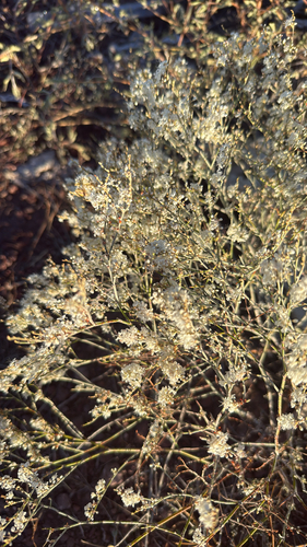
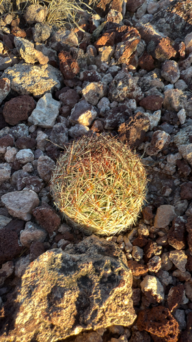
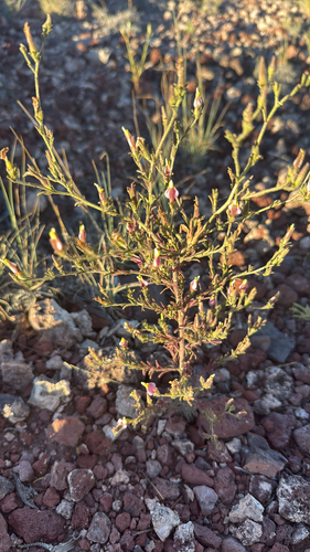
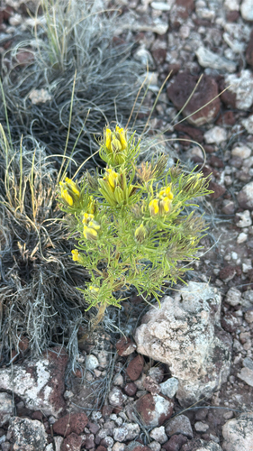
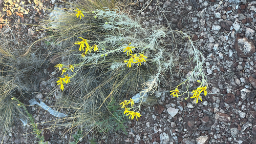
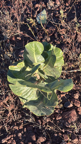
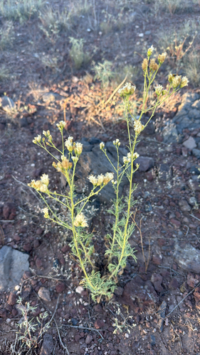
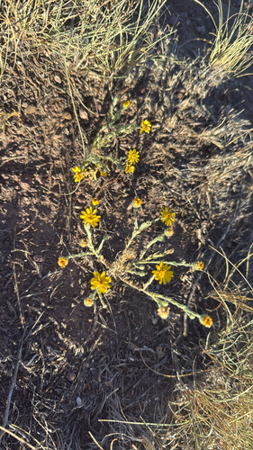
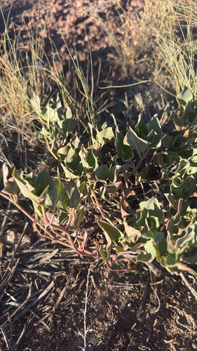
Research-grade observations from iNaturalist (within ~15 mi).
Nearest stream gauge
Live readings from USGS NWIS · measured 2026-09-25 15:15 UTC.
Events
Gallery
Sources
- • Wikipedia
- • US Census Bureau (ACS 5-year estimates)
- • NOAA National Weather Service
- • Wikidata
- • USGS Earthquake Catalog (global feed)
- • USGS NWIS (water data)
- • NCES via Urban Institute Education Data Portal
- • GBIF (Global Biodiversity Information Facility)
- • iNaturalist
- • CDC PLACES
- • Open-Meteo / sunrise-sunset.org
- • Wikipedia Pageviews API
- • Open Library
- • NASA EONET