Browse / United States / Arizona / Congress
Congress
ArizonaCDP

Congress
Total population
1,491
Median home value
$249,600
Bachelor's+
Median income
$57,159
Demographic figures from US Census Bureau · ACS 5-year estimates. Overview below cites Wikipedia and may reference a different year.
City facts
Facts from Wikidata (CC0).
Overview
Congress is a census-designated place (CDP) in Yavapai County, Arizona, United States. Once a gold-mining center for the Congress Mine and then a ghost town, Congress serves as a retirement and bedroom community for nearby Wickenburg. The population was 1,811 at the 2020 census.
Read more on WikipediaHistory & geography
History
Gold was discovered at the Congress Mine in 1884. By 1893, the Santa Fe, Prescott and Phoenix Railway passed within three miles of the mine, at Congress Junction. Congress boomed, and remained prosperous until the mid-1930s, when the mines closed. Total gold production at the Congress Mine exceeded $8 million at a production price of $20.67 per ounce – or about $400 million, at the 2007 price. The post office moved to Congress Junction in 1938, where it remains. The community known as Congress is the old Congress Junction. Little remains at the original mining-camp townsite. The old Congress Cemetery is nearby.
Geography
According to the United States Census Bureau, the CDP has a total area of , of which is land and (0.08%) is water. According to the Köppen Climate Classification system, Congress has a semi-arid climate, abbreviated "BSk" on climate maps.
Excerpted from the corresponding Wikipedia article (CC BY-SA).
Demographics & economy
Race & ethnicity
Source: US Census Bureau — American Community Survey, 5-year estimates.
Geography
Coordinates & boundaries from the US Census TIGER/Line shapefiles.
Climate
Current forecast
Forecast for Congress, AZ from NOAA NWS API.
Air quality
Industrial & pollution facilities
Natural hazard risk
Health (adults)
Age-adjusted prevalence estimates from CDC PLACES (latest release).
Walkability
Amenities nearby
Wildlife & biodiversity
Most-observed species
- House FinchHaemorhous mexicanus (P.L.Statius Müller, 1776) · Aves248
- Common RavenCorvus corax Linnaeus, 1758 · Aves245
- Mourning DoveZenaida macroura (Linnaeus, 1758) · Aves241
- Gambel's QuailCallipepla gambelii (Gambel, 1843) · Aves213
- Turkey VultureCathartes aura (Linnaeus, 1758) · Aves205
- Gila WoodpeckerMelanerpes uropygialis (S.F.Baird, 1854) · Aves198
- PhainopeplaPhainopepla nitens (Swainson, 1838) · Aves198
- White-crowned SparrowZonotrichia leucophrys (J.R.Forster, 1772) · Aves197
Citizen-science & research observations from the Global Biodiversity Information Facility (GBIF).
Schools
Largest nearby schools
- Congress Elementary SchoolElementary · Congress · 102 students · 10.2:1 ratio
Public K–12 schools within ~10 mi from Urban Institute Education Data Portal (NCES Common Core of Data, 2022).
Earthquake history
Most recent
- M 2.5 — 2025-08-0339 km SSW of Bagdad, Arizona
- M 3.8 — 2023-07-232 km E of Chino Valley, Arizona
- M 2.6 — 2020-06-065 km NW of New River, Arizona
- M 3.6 — 2015-11-024 km NNE of Black Canyon City, Arizona
- M 4 — 2015-11-027 km NNE of Black Canyon City, Arizona
- M 3.2 — 2015-11-028 km N of Black Canyon City, Arizona
Events from the USGS Earthquake Catalog (global) (FDSN Event Web Service).
Photos
Sights & places nearby
Notable people from here
Nearby places in Arizona
Geography & sun
Elevation, sunrise/sunset and daylight from Open-Meteo. Solar climatology from NASA POWER.
Nearby airports
Public attention
Pageview totals from the Wikimedia Pageviews API.
Books about Congress




Search results from Open Library.
Recent natural events nearby
- Wildfire Campwood, Yavapai, ArizonaWildfires · 2026-08-23 · 35 mi
- Wildfire Island, La Paz, ArizonaWildfires · 2026-07-26 · 121 mi
- Wildfire Butte, Gila, ArizonaWildfires · 2026-08-03 · 161 mi
- Wildfire Paddy Creek, Apache, ArizonaWildfires · 2026-08-25 · 188 mi
Wildfires, storms and other events from NASA EONET (last 12 months, within 250 mi).
Ground air-quality sensors
Recently spotted species
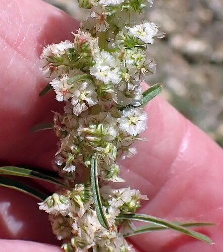
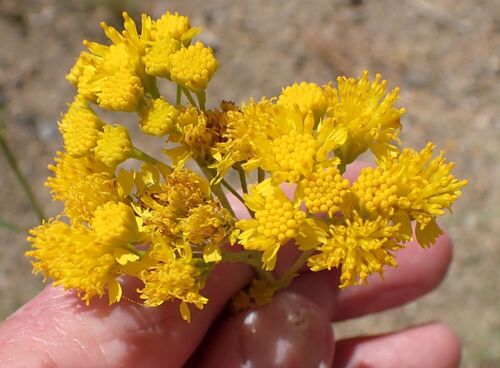
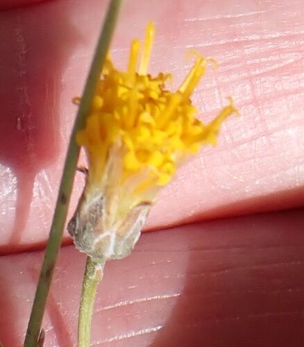
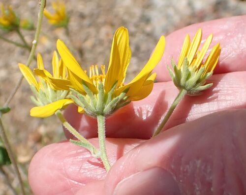
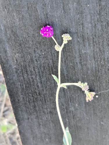
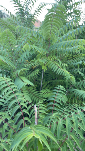
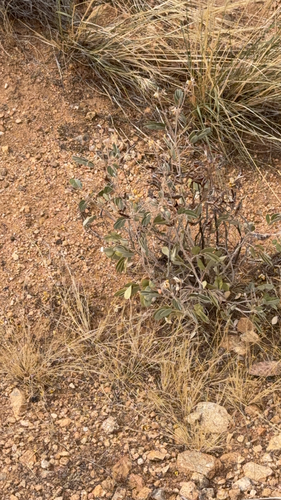
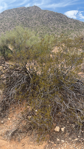
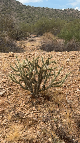
Research-grade observations from iNaturalist (within ~15 mi).
Nearest stream gauge
Live readings from USGS NWIS · measured 2026-09-21 06:30 UTC.
Events
Gallery
Sources
- • Wikipedia
- • US Census Bureau (ACS 5-year estimates)
- • NOAA National Weather Service
- • Wikidata
- • USGS Earthquake Catalog (global feed)
- • USGS NWIS (water data)
- • NCES via Urban Institute Education Data Portal
- • GBIF (Global Biodiversity Information Facility)
- • iNaturalist
- • CDC PLACES
- • Open-Meteo / sunrise-sunset.org
- • Wikipedia Pageviews API
- • Open Library
- • NASA EONET