Browse / United States / Arizona / Flagstaff
Flagstaff
Arizonacity

Flagstaff
Total population
76,445
Median home value
$552,900
Bachelor's+
Median income
$71,512
Founded
1876
Demographic figures from US Census Bureau · ACS 5-year estimates. Overview below cites Wikipedia and may reference a different year.
- Flood Watch · SevereFlood Watch issued September 16 at 6:30PM MST until September 17 at 5:00AM MST by NWS Flagstaff AZ
Source: NOAA National Weather Service.
City facts
Sister cities
Facts from Wikidata (CC0).
Overview
Flagstaff is a city in and the county seat of Coconino County, Arizona, United States. As of the 2020 United States census, the city's population was 76,831.
Read more on WikipediaHistory & geography
History
The Sinagua people were a pre-Columbian culture that occupied a large area in Arizona between and 1425 CE. The Northern Sinagua were living in the pine forests of northern Arizona before moving into the area that is now Flagstaff about 700 CE. The 1064 and 1066 eruptions of Sunset Crater covered the area in ash, which greatly enriched the soil for farming; The Northern Sinagua had various cultural phases, including Sunset Crater, the Rio de Flag (leaving the Picture Canyon site), Angell and Winona, Padre Canyon, Elden Pueblo, Turkey Hill Pueblo, Clear Creek, The Sinagua peoples left the area by the early 15th century, likely moving north and later becoming the Hopi. The San Francisco Peaks, which overlook Flagstaff, are a sacred site in Hopi culture. Until western expansion in the 1860s, the Yavapai, specifically the (Northeastern Yavapai), occupied the land up to the San Francisco Peaks. The Yavapai land in the area saw overlap with the land of the Northern Tonto Apache that stretched across the San Francisco Peaks to the Little Colorado River. Of the Northern Tonto Apache, two tribes lived within the area of present-day Flagstaff: the Oak Creek band and the Mormon Lake band. The Mormon Lake band were centered around Flagstaff and were exclusively hunter-gatherers, traveling around places like the foot of the San Francisco Peaks, at Mount Elden, Lake Mary, Stoneman Lake, and Padre Canyon. The area of Flagstaff had a wagon road to California in the 1800s, constructed by Edward Fitzgerald Beale's men. The first permanent settlement came in 1876, when Thomas F. McMillan built a cabin just north of the present-day main town. McMillan was a key developer of Northern Arizona. In 1888, McMillan purchased an unfinished building that sits at the present-day…
Geography
Flagstaff is the county seat of Coconino County. According to the United States Census Bureau, the city has a total area of , of which only (0.08%) is water. Flagstaff lies at approximately elevation, and is surrounded by the largest contiguous ponderosa pine forest in North America. It is in a mountainous area, and lies along the Rio de Flag watercourse. It is about north of the State capital, Phoenix. The geology of the area is in line with that of the Colorado Plateau on which it lies, The San Francisco Peaks are a main aspect of Flagstaff's local geography and can be seen from everywhere in the city. Humphreys Peak is the highest point in Arizona at . Several trails around the peaks provide views of the Grand Canyon. While the most popular access point is Arizona Snowbowl (southwest face), the peaks can also be approached from the north and east. The peaks are about northwest of downtown Flagstaff, with the Snowbowl resort just southwest of Humphreys Peak. A soft basalt layer covers some of the rock at the surface. Moenkopi Formation red sandstone is a distinctive feature of Flagstaff, as it was used as a building material from the 1880s because of its fire retardant properties. The source used for quarrying most of this rock was a deposit 1 mile east of the town, which fell under the control of Charles Begg in 1887, who then began selling the stone across the southwest – after he made a successful sale in California that expanded the business, he was replaced in 1888 by a master quarryman. While it was used as building material across the West, some of Flagstaff's most prominent buildings are famous for the stone, including the Bank Hotel, Flagstaff's climate type on the Köppen climate classification system is variously reported as a warm dry-summer…
Excerpted from the corresponding Wikipedia article (CC BY-SA).
Demographics & economy
Race & ethnicity
Source: US Census Bureau — American Community Survey, 5-year estimates.
Geography
Coordinates & boundaries from the US Census TIGER/Line shapefiles.
Climate
Current forecast
Forecast for Flagstaff, AZ from NOAA NWS API.
Air quality
Industrial & pollution facilities
Natural hazard risk
Health (adults)
Age-adjusted prevalence estimates from CDC PLACES (latest release).
Walkability
Amenities nearby
Wildlife & biodiversity
Most-observed species
- Steller's JayCyanocitta stelleri (Gmelin, 1788) · Aves15,751
- Dark-eyed JuncoJunco hyemalis (Linnaeus, 1758) · Aves15,075
- Mountain ChickadeePoecile gambeli (Ridgway, 1886) · Aves13,724
- Northern FlickerColaptes auratus (Linnaeus, 1758) · Aves13,196
- Common RavenCorvus corax Linnaeus, 1758 · Aves12,909
- Pygmy NuthatchSitta pygmaea Vigors, 1839 · Aves12,907
- House FinchHaemorhous mexicanus (P.L.Statius Müller, 1776) · Aves12,701
- American CrowCorvus brachyrhynchos C.L.Brehm, 1822 · Aves12,555
Citizen-science & research observations from the Global Biodiversity Information Facility (GBIF).
Schools
Largest nearby schools
- Flagstaff High SchoolHigh · FLAGSTAFF · 1,620 students · 20.8:1 ratio
- Coconino High SchoolHigh · FLAGSTAFF · 1,528 students · 20.4:1 ratio
- Sinagua Middle SchoolMiddle · FLAGSTAFF · 1,016 students · 17.8:1 ratio
- Mount Elden Middle SchoolMiddle · FLAGSTAFF · 757 students · 16.5:1 ratio
- BASIS FlagstaffOther · FLAGSTAFF · 737 students
- Northland Preparatory AcademyHigh · Flagstaff · 641 students
- Manuel DeMiguel Elementary SchoolElementary · FLAGSTAFF · 579 students · 15.2:1 ratio
- Thomas M Knoles Elementary SchoolElementary · FLAGSTAFF · 490 students · 16.3:1 ratio
Public K–12 schools within ~10 mi from Urban Institute Education Data Portal (NCES Common Core of Data, 2022).
Earthquake history
Most recent
- M 2.7 — 2026-04-075 km W of LeChee, Arizona
- M 2.5 — 2025-04-1514 km N of Clarkdale, Arizona
- M 2.6 — 2024-10-1520 km NE of Parks, Arizona
- M 2.6 — 2023-08-149 km WSW of Williams, Arizona
- M 3.8 — 2023-07-232 km E of Chino Valley, Arizona
- M 3.1 — 2023-05-1031 km SW of Cameron, Arizona
Events from the USGS Earthquake Catalog (global) (FDSN Event Web Service).
Photos
Sights & places nearby
Notable people from here


People born within ~10 km, from Wikidata (CC0). Click any name for their Wikipedia article.
Nearby places in Arizona
- Mountainaire6.5 mi away
- Oak Creek Canyon17.9 mi away
- Jerome40.9 mi away · pop. 231
- Valle45.2 mi away · pop. 436
- Cameron47.4 mi away · pop. 782
- Ash Fork49.2 mi away · pop. 458
- Kaibab Estates West49.9 mi away
- Winslow West53.4 mi away
- Dewey-Humboldt58.3 mi away
- Williamson61.3 mi away · pop. 6,310
- East Verde Estates63 mi away
- Mead Ranch64 mi away · pop. 218
Geography & sun
Elevation, sunrise/sunset and daylight from Open-Meteo. Solar climatology from NASA POWER.
Nearby airports
Public attention
Pageview totals from the Wikimedia Pageviews API.
Books about Flagstaff
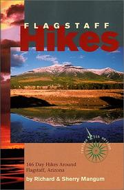
Search results from Open Library.
Recent natural events nearby
- Prescribed Fire Newman Piles RX, Coconino, ArizonaWildfires · 2026-10-14 · 12 mi
- Prescribed Fire Walker Hill Piles RX, Coconino, ArizonaWildfires · 2026-09-28 · 14 mi
- Prescribed Fire KENDRICK RX-WRD CY26, Coconino, ArizonaWildfires · 2026-10-01 · 22 mi
- Prescribed Fire McCRAKEN RX-WRD CY26, Coconino, ArizonaWildfires · 2026-10-01 · 37 mi
- Prescribed Fire D2 Vincent RX, Coconino, ArizonaWildfires · 2026-09-17 · 63 mi
- Prescribed Fire D2 Dye RX, Coconino, ArizonaWildfires · 2026-09-17 · 66 mi
- Wildfire Campwood, Yavapai, ArizonaWildfires · 2026-08-23 · 92 mi
- Prescribed Fire D7 Morgan Unit 5 RX, Navajo, ArizonaWildfires · 2026-09-14 · 108 mi
Wildfires, storms and other events from NASA EONET (last 12 months, within 250 mi).
Ground air-quality sensors
Recently spotted species
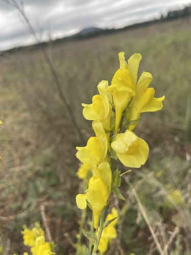
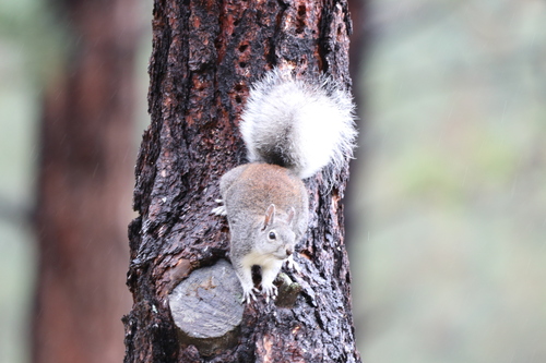
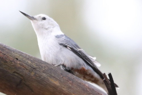
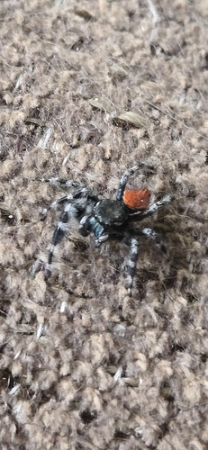
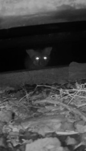
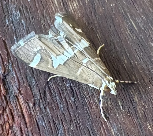
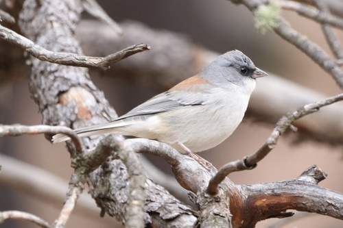
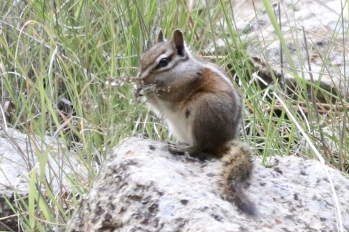
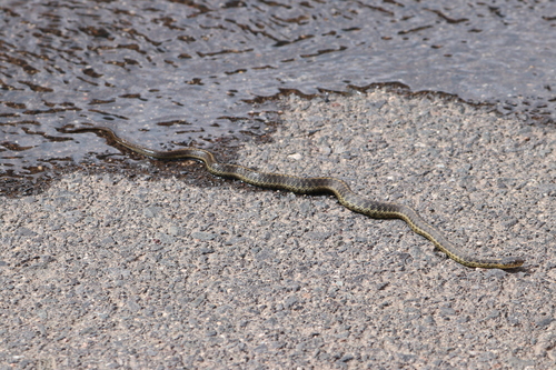
Research-grade observations from iNaturalist (within ~15 mi).
Nearest stream gauge
Events
Gallery
Sources
- • Wikipedia
- • US Census Bureau (ACS 5-year estimates)
- • NOAA National Weather Service
- • Wikidata
- • USGS Earthquake Catalog (global feed)
- • NCES via Urban Institute Education Data Portal
- • GBIF (Global Biodiversity Information Facility)
- • iNaturalist
- • CDC PLACES
- • Open-Meteo / sunrise-sunset.org
- • Wikipedia Pageviews API
- • Open Library
- • NASA EONET