Browse / United States / Arizona / Mesa
Mesa
Arizonacity

Mesa
Total population
517,142
Median home value
$440,800
Bachelor's+
Median income
$85,580
Founded
1878
Demographic figures from US Census Bureau · ACS 5-year estimates. Overview below cites Wikipedia and may reference a different year.
City facts
Sister cities
Facts from Wikidata (CC0).
Overview
Mesa is a city in Maricopa County, Arizona, United States. The population was 504,258 at the 2020 census. It is the third-most populous city in Arizona, after Phoenix and Tucson, the 38th-most populous city in the U.S., and the most populous city that is not a county seat. It is the most populous city in the East Valley of the Phoenix metropolitan area. It borders Tempe on the west, the Salt River Pima–Maricopa Indian Community on the north, Chandler and Gilbert on the south along with Queen Creek, and Apache Junction on the east.
Read more on WikipediaHistory & geography
History
The history of Mesa dates back at least 2,000 years to the arrival of the Hohokam culture. The Hohokam built the original canal system. The canals were the largest and most sophisticated in the prehistoric New World. Some were up to wide and deep at their head gates, extending for as far as across the desert. By 1100 CE, water could be delivered to an area over , transforming the Sonoran Desert into an agricultural oasis. By 1450, the Hohokam had constructed hundreds of miles of canals, many of which are still in use. After the disappearance of the Hohokam and before the arrival of the early settlers, little is known; explorers did not venture into this area. By the late 19th century near present-day Mesa, U.S. Army troops relocated the Apache, opening the way for settlement. In March 1877, Mormon pioneer Daniel Webster Jones and Henry Clay Rogers left St. George, Utah. Jones had been asked by Mormon officials to direct a party of people in establishing a settlement in Arizona. They traveled south and settled on the north side of the present Mesa area. This settlement was initially known as Fort Utah and later as Jonesville. It was located near Lehi Road. In 1883, it was named Lehi at the suggestion of Brigham Young, Jr. About this same time, another group dubbed the First Mesa Company arrived from Utah and Idaho. Their leaders were Francis Martin Pomeroy, Charles Crismon, George Warren Sirrine and Charles I. Robson. Rather than accepting an invitation to settle at Jones's Lehi settlement, they moved up onto the mesa that serves as the city's namesake. They dug irrigation canals and used some of the original Hohokam canals. By April 1878, water was flowing through them. The Second Mesa Company arrived in 1879 and settled to the west of the First Mesa Company…
Geography
Mesa stretches from Price Road in the west to Meridian Road in the east and has a land area of . Mesa employs a grid system for street numbering that is different from that used in Phoenix and other portions of the metropolitan area. Center Street, running north to south, bisects Mesa into eastern and western halves and serves as the east and west numbering point of origin within Mesa. Streets west of Center St., such as W. University Drive or W. Main St. are considered to be in West Mesa, whereas streets east of Center St., such as E. University or E. Main St., are considered to be in East Mesa. Located in the Sonoran Desert, Mesa has a hot desert climate (Köppen: BWh), with mild winters and very hot summers. {|style="width:100%;text-align:center;line-height:1.2em;margin-left:auto;margin-right:auto" class="wikitable mw-collapsible" |- !Colspan=14|Climate data for Mesa |- !Month !Jan !Feb !Mar !Apr !May !Jun !Jul !Aug !Sep !Oct !Nov !Dec !style="border-left-width:medium"|Year |- !Mean daily daylight hours |style="background:#F0F011;color:#000000;"|10.0 |style="background:#F7F722;color:#000000;"|11.0 |style="background:#FFFF33;color:#000000;"|12.0 |style="background:#FFFF44;color:#000000;"|13.0 |style="background:#FFFF55;color:#000000;"|14.0 |style="background:#FFFF5D;color:#000000;"|14.5 |style="background:#FFFF55;color:#000000;"|14.0 |style="background:#FFFF4C;color:#000000;"|13.5 |style="background:#FFFF3B;color:#000000;"|12.5 |style="background:#FBFB2A;color:#000000;"|11.5 |style="background:#F4F419;color:#000000;"|10.5 |style="background:#F0F011;color:#000000;"|10.0 |style="background:#FFFF36;color:#000000;border-left-width:medium"|12.2 |- !Colspan=14 style="background:#f8f9fa;font-weight:normal;font-size:95%;"|Source: Weather Atlas |}
Excerpted from the corresponding Wikipedia article (CC BY-SA).
Demographics & economy
Race & ethnicity
Source: US Census Bureau — American Community Survey, 5-year estimates.
Geography
Coordinates & boundaries from the US Census TIGER/Line shapefiles.
Climate
Current forecast
Forecast for Mesa, AZ from NOAA NWS API.
Air quality
Industrial & pollution facilities
Natural hazard risk
Health (adults)
Age-adjusted prevalence estimates from CDC PLACES (latest release).
Walkability
Amenities nearby
Wildlife & biodiversity
Most-observed species
- Mourning DoveZenaida macroura (Linnaeus, 1758) · Aves38,370
- Great-tailed GrackleQuiscalus mexicanus (Gmelin, 1788) · Aves37,769
- VerdinAuriparus flaviceps (Sundevall, 1850) · Aves32,394
- Anna's HummingbirdCalypte anna (R.Lesson, 1829) · Aves32,029
- Gila WoodpeckerMelanerpes uropygialis (S.F.Baird, 1854) · Aves31,809
- House FinchHaemorhous mexicanus (P.L.Statius Müller, 1776) · Aves29,345
- Northern MockingbirdMimus polyglottos (Linnaeus, 1758) · Aves29,138
- Abert's TowheeMelozone aberti (S.F.Baird, 1852) · Aves29,076
Citizen-science & research observations from the Global Biodiversity Information Facility (GBIF).
Schools
Largest nearby schools
- Primavera - OnlineOther · Chandler · 6,392 students
- Chandler High SchoolHigh · CHANDLER · 3,597 students · 18.7:1 ratio
- Westwood High SchoolHigh · MESA · 3,570 students · 21:1 ratio
- Mesa High SchoolHigh · MESA · 3,475 students · 20.9:1 ratio
- Red Mountain High SchoolHigh · MESA · 3,448 students · 20.8:1 ratio
- Mountain View High SchoolHigh · MESA · 3,372 students · 21.1:1 ratio
- Highland High SchoolHigh · GILBERT · 3,174 students · 24.4:1 ratio
- Sequoia Choice School Arizona Distance Learning SchoolOther · Mesa · 3,083 students
Public K–12 schools within ~10 mi from Urban Institute Education Data Portal (NCES Common Core of Data, 2022).
Earthquake history
Most recent
- M 2.5 — 2026-03-159 km SSE of Tat Momoli, Arizona
- M 2.6 — 2022-02-251 km S of Roosevelt, Arizona
- M 2.5 — 2022-02-156 km S of Roosevelt, Arizona
- M 2.5 — 2022-02-122 km ESE of Roosevelt, Arizona
- M 2.6 — 2020-06-065 km NW of New River, Arizona
- M 3.2 — 2016-12-1011 km ENE of Rio Verde, Arizona
Events from the USGS Earthquake Catalog (global) (FDSN Event Web Service).
Photos
Sights & places nearby
Notable people from here


People born within ~10 km, from Wikidata (CC0). Click any name for their Wikipedia article.
Nearby places in Arizona
- Gilbert6.4 mi away · pop. 288,797
- Apache Junction10.2 mi away · pop. 38,499
- Tempe12.4 mi away · pop. 190,113
- Queen Creek12.6 mi away
- Guadalupe14.4 mi away
- Goodyear Village16.7 mi away · pop. 590
- Gold Canyon17.1 mi away
- Stotonic Village18.1 mi away · pop. 78
- Upper Santan Village19.7 mi away
- Sacaton22.5 mi away · pop. 3,429
- Casa Blanca22.6 mi away
- Sacate Village23.5 mi away
Geography & sun
Elevation, sunrise/sunset and daylight from Open-Meteo. Solar climatology from NASA POWER.
Nearby airports
Public attention
Pageview totals from the Wikimedia Pageviews API.
Books about Mesa

Search results from Open Library.
Recent natural events nearby
- Prescribed Fire D2 Vincent RX, Coconino, ArizonaWildfires · 2026-09-17 · 84 mi
- Prescribed Fire D2 Dye RX, Coconino, ArizonaWildfires · 2026-09-17 · 85 mi
- Wildfire Butte, Gila, ArizonaWildfires · 2026-08-03 · 90 mi
- Prescribed Fire D7 Morgan Unit 5 RX, Navajo, ArizonaWildfires · 2026-09-14 · 108 mi
- Wildfire Campwood, Yavapai, ArizonaWildfires · 2026-08-23 · 116 mi
- Prescribed Fire D7 Brushy Mtn South RX, Apache, ArizonaWildfires · 2026-09-14 · 120 mi
- Wildfire Paddy Creek, Apache, ArizonaWildfires · 2026-08-25 · 120 mi
- Prescribed Fire D7 Rhoton Seep RX, Apache, ArizonaWildfires · 2026-09-14 · 121 mi
Wildfires, storms and other events from NASA EONET (last 12 months, within 250 mi).
Ground air-quality sensors
Recently spotted species
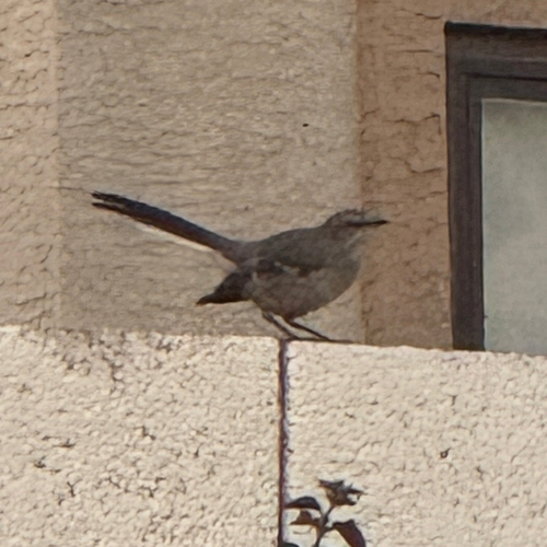
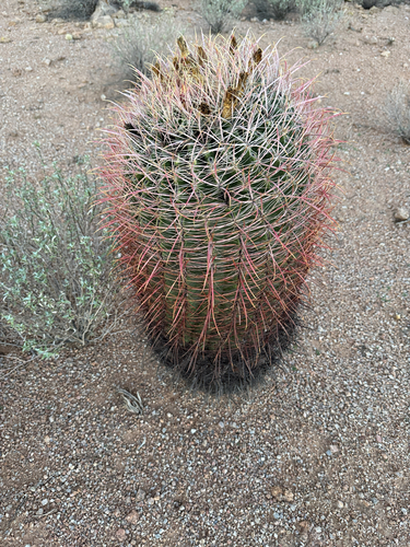
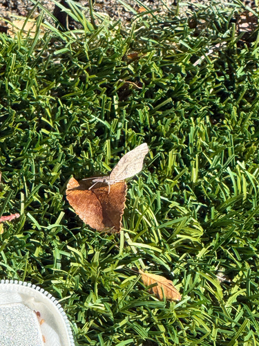
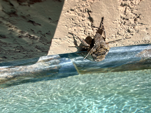
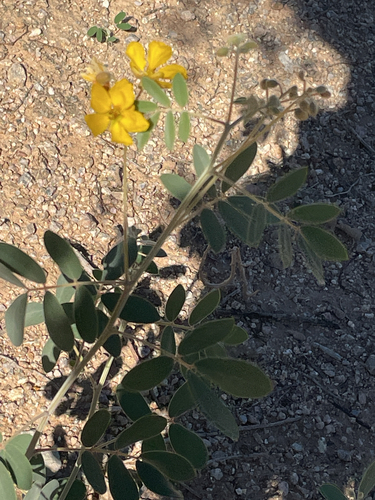
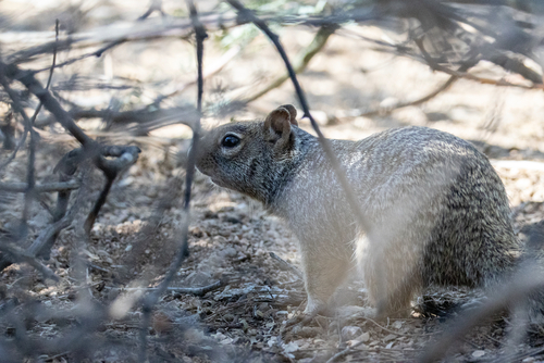
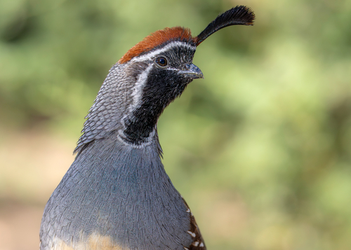
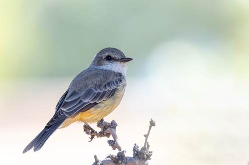
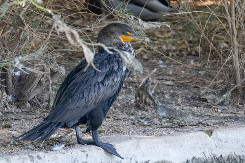
Research-grade observations from iNaturalist (within ~15 mi).
Nearest stream gauge
Live readings from USGS NWIS · measured 2026-10-04 09:00 UTC.
Events
Gallery
Sources
- • Wikipedia
- • US Census Bureau (ACS 5-year estimates)
- • NOAA National Weather Service
- • Wikidata
- • USGS Earthquake Catalog (global feed)
- • USGS NWIS (water data)
- • NCES via Urban Institute Education Data Portal
- • GBIF (Global Biodiversity Information Facility)
- • iNaturalist
- • CDC PLACES
- • Open-Meteo / sunrise-sunset.org
- • Wikipedia Pageviews API
- • Open Library
- • NASA EONET