Browse / United States / Arizona / Tempe
Tempe
Arizonacity

Tempe
Total population
190,113
Median home value
$488,600
Bachelor's+
Median income
$78,044
Founded
1879
Demographic figures from US Census Bureau · ACS 5-year estimates. Overview below cites Wikipedia and may reference a different year.
City facts
Sister cities
Facts from Wikidata (CC0).
Overview
Tempe is a city in Maricopa County, Arizona, United States, with the Census Bureau reporting a 2020 population of 180,587. The city is home to the main campus of Arizona State University, one of the largest public universities by enrollment in the United States.
Read more on WikipediaHistory & geography
History
The Hohokam lived in this area and built canals to support their agriculture. They abandoned their settlements during the 15th century, with a few individuals and families remaining nearby. Fort McDowell was established approximately northeast of present downtown Tempe on the upper Salt River in 1865 allowing for new towns to be built farther down the Salt River. US military service members and Hispanic workers were hired to grow food and animal feed to supply the fort, and less than a year later, had set up small camps near the river that were the first permanent communities in the Valley after the fall of the Hohokam. (Phoenix was settled shortly afterward, by 1867–68.) The two settlements were 'Hayden's Ferry', named after a ferry service operated by Charles T. Hayden, and 'San Pablo', and were located west and east of Hayden Butte respectively. The ferry became the key river crossing in the area. The Tempe Irrigating Canal Company was soon established by William Kirkland and James McKinney to provide water for alfalfa, wheat, barley, oats, and cotton. Pioneer Darrell Duppa is credited with suggesting Tempe's name, adopted in 1879, after comparing the Salt River valley near a -tall butte, to the Vale of Tempe near Mount Olympus in Greece. From its founding in 1871 until 90 years later, Tempe was a sundown town where African Americans were permitted to work but forced to live elsewhere. In 1965, Warren and Carol Livingston were the first African Americans to buy property in Tempe. In 1885, the 13th Arizona Territorial Legislature chose Tempe for the site of the Territorial Normal School, which became Arizona Normal School, Arizona State Teachers College, Arizona State College and finally Arizona State University. The Maricopa and Phoenix Railroad, built in…
Geography
Tempe is an inner suburb, located between the core city of Phoenix and the rest of the East Valley. Due to this, as well as being the home of the main campus of Arizona State University, Tempe has a fairly dense, urbanized development pattern in the northern part of the city especially in relation to the Valley Metro Line. Going south, development becomes less dense, consisting of single-family homes, strip malls and lower-density office parks. The Salt River runs west through the northern part of Tempe; part of the river is dammed in two places to create Tempe Town Lake. According to the United States Census Bureau, the landlocked city has a total area of , of which is land and is water. The total area is 0.32% water, including Tempe Town Lake. The city of Tempe is bordered by Mesa to the east, Scottsdale and the Salt River Pima–Maricopa Indian Community to the north, Phoenix and Guadalupe to the west, and Chandler to the south. Tempe is generally flat, except for Tempe Butte or Hayden Butte (generally known as A-Mountain for Arizona State University's "A" logo located on its south face), located next to Sun Devil Stadium, Twin Buttes and Bell Butte on the western edge of Tempe, and the buttes within Papago Park at northwest corner of Tempe. Elevation ranges from at Tempe Town Lake to atop Hayden Butte. Tempe experiences a hot-desert climate (Köppen: BWh) with a higher degree of diurnal temperature variation than neighboring Phoenix.
Excerpted from the corresponding Wikipedia article (CC BY-SA).
Demographics & economy
Race & ethnicity
Source: US Census Bureau — American Community Survey, 5-year estimates.
Geography
Coordinates & boundaries from the US Census TIGER/Line shapefiles.
Climate
Current forecast
Forecast for Tempe, AZ from NOAA NWS API.
Air quality
Industrial & pollution facilities
Natural hazard risk
Health (adults)
Walkability
Amenities nearby
Wildlife & biodiversity
Most-observed species
- Mourning DoveZenaida macroura (Linnaeus, 1758) · Aves55,297
- Great-tailed GrackleQuiscalus mexicanus (Gmelin, 1788) · Aves55,116
- VerdinAuriparus flaviceps (Sundevall, 1850) · Aves49,073
- Northern MockingbirdMimus polyglottos (Linnaeus, 1758) · Aves48,088
- Gila WoodpeckerMelanerpes uropygialis (S.F.Baird, 1854) · Aves46,937
- Curve-billed ThrasherToxostoma curvirostre (Swainson, 1827) · Aves46,271
- House FinchHaemorhous mexicanus (P.L.Statius Müller, 1776) · Aves46,166
- Anna's HummingbirdCalypte anna (R.Lesson, 1829) · Aves44,794
Citizen-science & research observations from the Global Biodiversity Information Facility (GBIF).
Schools
Largest nearby schools
- Primavera - OnlineOther · Chandler · 6,392 students
- Chandler High SchoolHigh · CHANDLER · 3,597 students · 18.7:1 ratio
- Westwood High SchoolHigh · MESA · 3,570 students · 21:1 ratio
- Mesa High SchoolHigh · MESA · 3,475 students · 20.9:1 ratio
- ASU Preparatory Academy DigitalOther · Tempe · 3,455 students
- Mountain View High SchoolHigh · MESA · 3,372 students · 21.1:1 ratio
- Sequoia Choice School Arizona Distance Learning SchoolOther · Mesa · 3,083 students
- Desert Vista High SchoolHigh · PHOENIX · 2,964 students · 23.5:1 ratio
Public K–12 schools within ~10 mi from Urban Institute Education Data Portal (NCES Common Core of Data, 2022).
Earthquake history
Most recent
- M 2.5 — 2026-03-159 km SSE of Tat Momoli, Arizona
- M 2.6 — 2022-02-251 km S of Roosevelt, Arizona
- M 2.5 — 2022-02-156 km S of Roosevelt, Arizona
- M 2.5 — 2022-02-122 km ESE of Roosevelt, Arizona
- M 2.6 — 2020-06-065 km NW of New River, Arizona
- M 3.2 — 2016-12-1011 km ENE of Rio Verde, Arizona
Events from the USGS Earthquake Catalog (global) (FDSN Event Web Service).
Photos
Sights & places nearby
Notable people from here


People born within ~10 km, from Wikidata (CC0). Click any name for their Wikipedia article.
Nearby places in Arizona
- Guadalupe2.4 mi away · pop. 5,272
- Gilbert12.2 mi away · pop. 288,797
- Mesa12.4 mi away · pop. 517,142
- Goodyear Village13.6 mi away · pop. 590
- Gila Crossing15.5 mi away
- Santa Cruz17 mi away
- Maricopa Colony17.1 mi away
- Stotonic Village17.6 mi away · pop. 78
- Casa Blanca18.9 mi away
- Queen Creek21.1 mi away
- Upper Santan Village21.7 mi away
- Apache Junction22.6 mi away · pop. 38,499
Geography & sun
Elevation, sunrise/sunset and daylight from Open-Meteo. Solar climatology from NASA POWER.
Nearby airports
Public attention
Pageview totals from the Wikimedia Pageviews API.
Books about Tempe

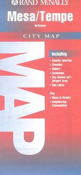

Search results from Open Library.
Recent natural events nearby
- Wildfire Butte, Gila, ArizonaWildfires · 2026-08-03 · 102 mi
- Wildfire Campwood, Yavapai, ArizonaWildfires · 2026-08-23 · 109 mi
- Wildfire Paddy Creek, Apache, ArizonaWildfires · 2026-08-25 · 132 mi
- Wildfire Island, La Paz, ArizonaWildfires · 2026-07-26 · 159 mi
Wildfires, storms and other events from NASA EONET (last 12 months, within 250 mi).
Ground air-quality sensors
Recently spotted species
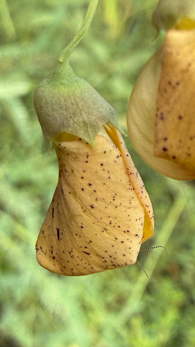
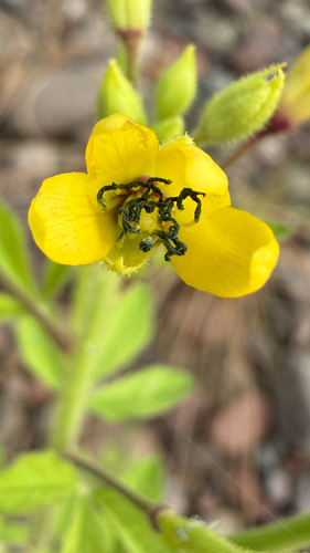
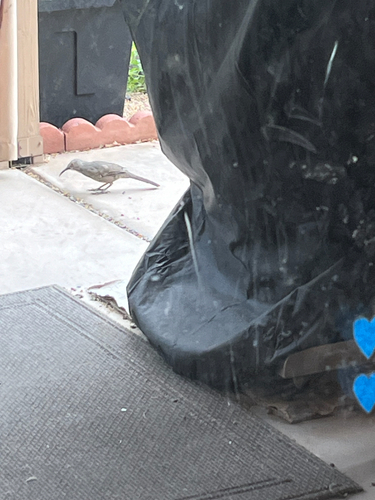
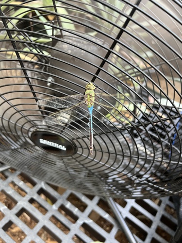
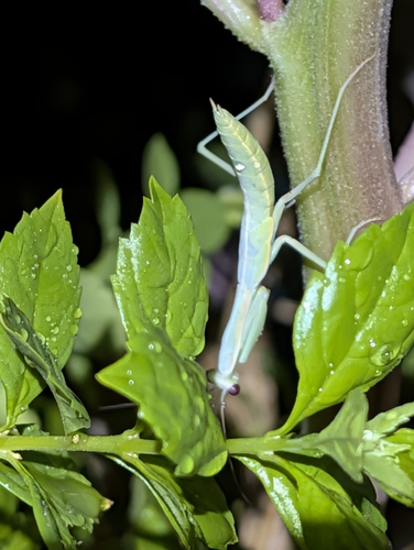
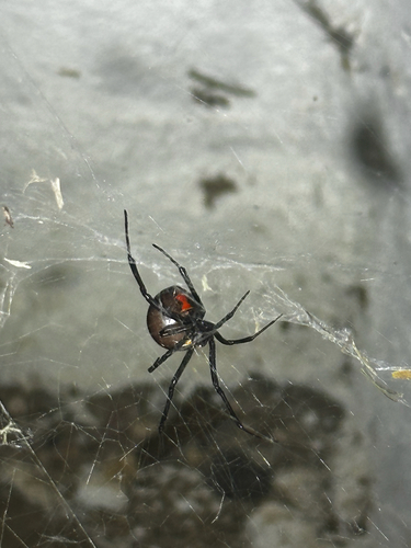
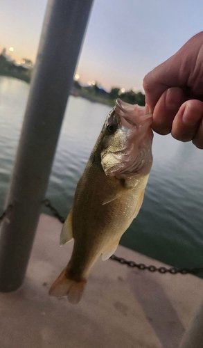
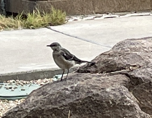
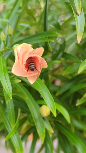
Research-grade observations from iNaturalist (within ~15 mi).
Nearest stream gauge
Events
Notable, recurring, and historical events associated with Tempe, sourced from Wikidata.
- Jul 1, 2017
- Jul 2, 2009
- Phoenix International Horror & Sci-Fi Film Festivalannual event
annual film festival dedicated to the genres of horror and science fiction in Arizona
Source: Wikidata (CC0).
Gallery
Sources
- • Wikipedia
- • US Census Bureau (ACS 5-year estimates)
- • NOAA National Weather Service
- • Wikidata
- • USGS Earthquake Catalog (global feed)
- • NCES via Urban Institute Education Data Portal
- • GBIF (Global Biodiversity Information Facility)
- • iNaturalist
- • Open-Meteo / sunrise-sunset.org
- • Wikipedia Pageviews API
- • Open Library
- • NASA EONET