Browse / United States / Arizona / Rio Rico
Rio Rico
ArizonaCDP

Rio Rico
Total population
22,017
Median home value
$224,100
Bachelor's+
Median income
$61,348
Demographic figures from US Census Bureau · ACS 5-year estimates. Overview below cites Wikipedia and may reference a different year.
City facts
Facts from Wikidata (CC0).
Overview
Rio Rico is an unincorporated community and census-designated place (CDP) in Santa Cruz County, Arizona, United States. The population is 22,452. The Rio Rico CDP replaced the former CDPs of Rio Rico Northwest, Rio Rico Northeast, Rio Rico Southwest, and Rio Rico Southeast.
Read more on WikipediaHistory & geography
Geography
Rio Rico is located in Santa Cruz County, north of Nogales at the confluence of Sonoita Creek and the Santa Cruz River. According to the United States Census Bureau, the community has an area of 62.3 square miles (161.2 km), all land. Rio Rico includes the site of the ghost town of Calabasas, Arizona.
Excerpted from the corresponding Wikipedia article (CC BY-SA).
Demographics & economy
Race & ethnicity
Source: US Census Bureau — American Community Survey, 5-year estimates.
Geography
Coordinates & boundaries from the US Census TIGER/Line shapefiles.
Climate
Air quality
Industrial & pollution facilities
Natural hazard risk
Health (adults)
Age-adjusted prevalence estimates from CDC PLACES (latest release).
Walkability
Amenities nearby
Wildlife & biodiversity
Most-observed species
- Gila WoodpeckerMelanerpes uropygialis (S.F.Baird, 1854) · Aves38,221
- Lesser GoldfinchSpinus psaltria (Say, 1822) · Aves32,992
- Northern CardinalCardinalis cardinalis (Linnaeus, 1758) · Aves32,821
- Mourning DoveZenaida macroura (Linnaeus, 1758) · Aves31,438
- White-winged DoveZenaida asiatica (Linnaeus, 1758) · Aves31,232
- House FinchHaemorhous mexicanus (P.L.Statius Müller, 1776) · Aves28,906
- Common RavenCorvus corax Linnaeus, 1758 · Aves27,877
- Turkey VultureCathartes aura (Linnaeus, 1758) · Aves26,163
Citizen-science & research observations from the Global Biodiversity Information Facility (GBIF).
Schools
Largest nearby schools
- Nogales High SchoolHigh · NOGALES · 1,796 students · 23.6:1 ratio
- Rio Rico High SchoolHigh · Rio Rico · 1,414 students · 25.7:1 ratio
- Calabasas SchoolElementary · RIO RICO · 1,006 students · 18.3:1 ratio
- Desert Shadows Middle SchoolMiddle · Nogales · 760 students · 21.7:1 ratio
- Francisco Vasquez De Coronado Elementary SchoolElementary · NOGALES · 515 students · 21.5:1 ratio
- Coatimundi Middle SchoolMiddle · RIO RICO · 473 students · 18.9:1 ratio
- San Cayetano Elementary SchoolElementary · RIO RICO · 393 students · 19.6:1 ratio
- Mountain View SchoolElementary · RIO RICO · 387 students · 20.4:1 ratio
Public K–12 schools within ~10 mi from Urban Institute Education Data Portal (NCES Common Core of Data, 2022).
Earthquake history
Most recent
- M 3.1 — 2023-09-2821 km E of Tanque Verde, Arizona
- M 2.5 — 2021-05-1513 km SW of Cananea, Mexico
Events from the USGS Earthquake Catalog (global) (FDSN Event Web Service).
Photos
Sights & places nearby
Notable people from here
Nearby places in Arizona
Geography & sun
Elevation, sunrise/sunset and daylight from Open-Meteo. Solar climatology from NASA POWER.
Nearby airports
Public attention
Pageview totals from the Wikimedia Pageviews API.
Books about Rio Rico


Search results from Open Library.
Recent natural events nearby
- Wildfire Butte, Gila, ArizonaWildfires · 2026-08-03 · 147 mi
- Wildfire Paddy Creek, Apache, ArizonaWildfires · 2026-08-25 · 166 mi
- Prescribed Fire D6 Wallow West Unit 6 RX, Apache, ArizonaWildfires · 2026-09-13 · 183 mi
- Prescribed Fire D7 Brushy Mtn South RX, Apache, ArizonaWildfires · 2026-09-14 · 194 mi
- Prescribed Fire D7 Morgan Unit 5 RX, Navajo, ArizonaWildfires · 2026-09-14 · 195 mi
- Prescribed Fire D7 Rhoton Seep RX, Apache, ArizonaWildfires · 2026-09-14 · 196 mi
- Prescribed Fire D7 Apprentice RX, Apache, ArizonaWildfires · 2026-09-14 · 198 mi
- Prescribed Fire D7 Butler West RX, Apache, ArizonaWildfires · 2026-09-14 · 200 mi
Wildfires, storms and other events from NASA EONET (last 12 months, within 250 mi).
Ground air-quality sensors
Recently spotted species
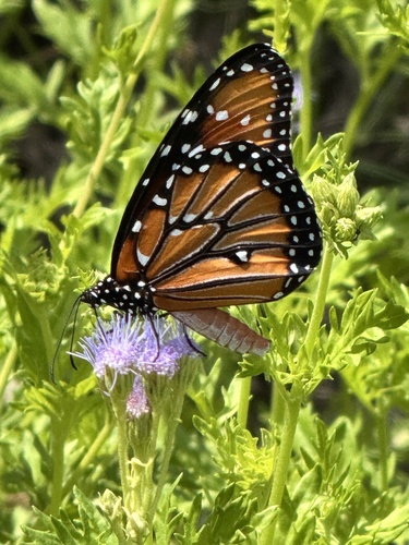
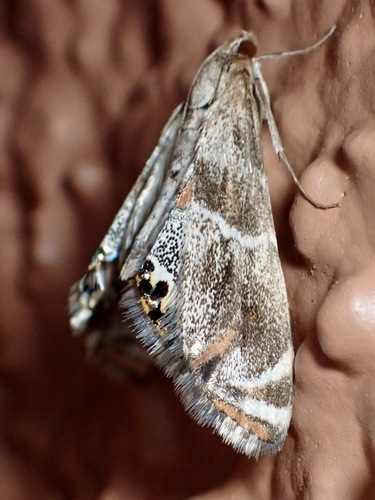
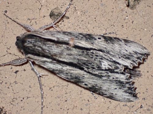
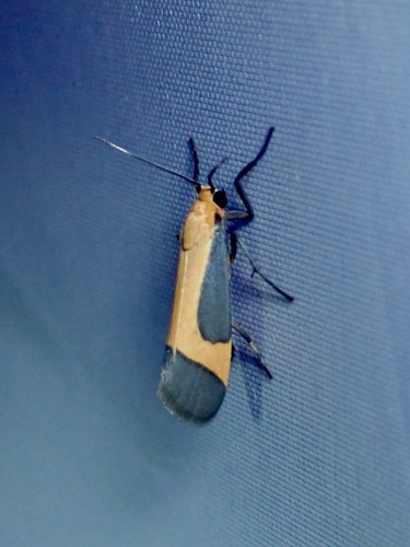
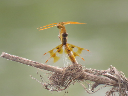
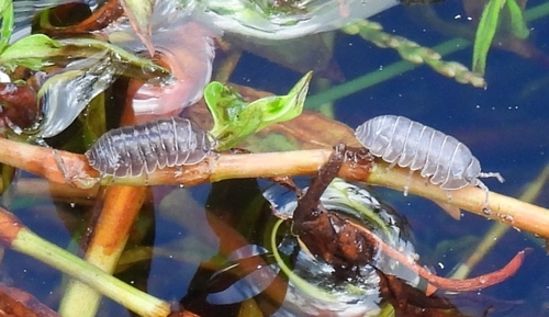
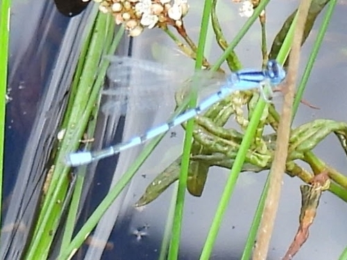
Research-grade observations from iNaturalist (within ~15 mi).
Nearest stream gauge
Live readings from USGS NWIS · measured 2026-09-22 07:45 UTC.
Events
Gallery
Sources
- • Wikipedia
- • US Census Bureau (ACS 5-year estimates)
- • Wikidata
- • USGS Earthquake Catalog (global feed)
- • USGS NWIS (water data)
- • NCES via Urban Institute Education Data Portal
- • GBIF (Global Biodiversity Information Facility)
- • iNaturalist
- • CDC PLACES
- • Open-Meteo / sunrise-sunset.org
- • Wikipedia Pageviews API
- • Open Library
- • NASA EONET