Browse / United States / Arizona / San Tan Valley
San Tan Valley
ArizonaCDP

San Tan Valley
Total population
123,211
Median home value
$430,400
Bachelor's+
Median income
$99,217
Founded
2009
Demographic figures from US Census Bureau · ACS 5-year estimates. Overview below cites Wikipedia and may reference a different year.
- Wind Advisory · ModerateWind Advisory issued October 15 at 11:41PM MST until October 17 at 11:00AM MST by NWS Phoenix AZ
Source: NOAA National Weather Service.
City facts
Facts from Wikidata (CC0).
Overview
San Tan Valley is a town in northern Pinal County, Arizona, United States. The population was 99,894 at the 2020 census. Proposition 495, a measure to incorporate San Tan Valley as a municipality, passed in 2025. It is one of the most recently incorporated cities in the country.
Read more on WikipediaHistory & geography
History
San Tan Valley derives its name from the nearby San Tan Mountains. San Tan Valley was picked as the name for the area based on an informal public poll commissioned by now former Pinal County Supervisor Bryan Martyn. Previously referred to as San Tan Heights, San Tan Foothills, Greater San Tan and simply the San Tan Area, the community lacked any official name and residents used nearby Queen Creek for their mailing addresses. This practice led to confusion, as the Town of Queen Creek is located primarily in neighboring Maricopa County. To coincide with the addition of a new ZIP Code for the community on July 1, 2009, the United States Postal Service was petitioned to provide the area with a new name. As part of the initial request, "Bella Vista" name was submitted to the postal service, drawing the ire of some local residents who opposed the suggested name. In response, the Greater San Tan Area Coalition organized a non-binding vote on June 23, offering residents the opportunity to vote on a name for the community. The area, which had consisted primarily of undeveloped desert and agriculture prior to 2000, experienced considerable growth in the early part of the decade. As early as 2004, attempts to incorporate the area were underway. An initial attempt, which proposed a name of simply "San Tan" for the area, was blocked by the neighboring town of Florence after rural residents there expressed concern that allowing incorporation would accelerate the urbanization of the area. A subsequent effort in 2005 failed to gain traction. Following the renaming of the area in 2009, a renewed effort at incorporation sought to put the issue to a vote in 2010, this time with the support of Pinal County. The Town Council of Florence unanimously rejected a resolution that would…
Geography
San Tan Valley is located in the area between the towns of Queen Creek to the north and west, and Florence to the south. The area is also bound by the San Tan Mountains Regional Park on the west and the Gila River Indian Community on the southwest. The area consists largely of planned communities, such as Pecan Creek South, San Tan Heights, Archer Meadows, and Johnson Ranch. |date = March 14, 2023}}
Excerpted from the corresponding Wikipedia article (CC BY-SA).
Demographics & economy
Race & ethnicity
Source: US Census Bureau — American Community Survey, 5-year estimates.
Geography
Coordinates & boundaries from the US Census TIGER/Line shapefiles.
Climate
Current forecast
Forecast for San Tan Valley, AZ from NOAA NWS API.
Air quality
Industrial & pollution facilities
Natural hazard risk
Health (adults)
Age-adjusted prevalence estimates from CDC PLACES (latest release).
Walkability
Amenities nearby
Wildlife & biodiversity
Most-observed species
- Mourning DoveZenaida macroura (Linnaeus, 1758) · Aves6,372
- Great-tailed GrackleQuiscalus mexicanus (Gmelin, 1788) · Aves5,856
- Anna's HummingbirdCalypte anna (R.Lesson, 1829) · Aves5,655
- House FinchHaemorhous mexicanus (P.L.Statius Müller, 1776) · Aves5,387
- VerdinAuriparus flaviceps (Sundevall, 1850) · Aves5,267
- Abert's TowheeMelozone aberti (S.F.Baird, 1852) · Aves5,091
- Gila WoodpeckerMelanerpes uropygialis (S.F.Baird, 1854) · Aves4,688
- Curve-billed ThrasherToxostoma curvirostre (Swainson, 1827) · Aves4,533
Citizen-science & research observations from the Global Biodiversity Information Facility (GBIF).
Schools
Largest nearby schools
- American Leadership Academy Ironwood K12Other · San Tan Valley · 2,230 students
- Eduprize SchoolElementary · QUEEN CREEK · 1,643 students
- Poston Butte High SchoolHigh · San Tan Valley · 1,393 students · 19.6:1 ratio
- Combs High SchoolHigh · San Tan Valley · 1,356 students · 23:1 ratio
- Legacy Traditional School - Queen CreekElementary · QUEEN CREEK · 1,119 students
- American Leadership Academy Anthem K-6Other · Florence · 959 students
- San Tan Foothills High SchoolHigh · QUEEN CREEK · 824 students · 17.2:1 ratio
- Walker Butte K-8Elementary · San Tan Valley · 813 students · 17.7:1 ratio
Public K–12 schools within ~10 mi from Urban Institute Education Data Portal (NCES Common Core of Data, 2022).
Earthquake history
Most recent
- M 2.5 — 2026-03-159 km SSE of Tat Momoli, Arizona
- M 2.6 — 2022-02-251 km S of Roosevelt, Arizona
- M 2.5 — 2022-02-156 km S of Roosevelt, Arizona
- M 2.5 — 2022-02-122 km ESE of Roosevelt, Arizona
- M 3.2 — 2016-12-1011 km ENE of Rio Verde, Arizona
- M 3.2 — 2014-09-206 km WNW of Rock House, Arizona
Events from the USGS Earthquake Catalog (global) (FDSN Event Web Service).
Photos
Sights & places nearby
Notable people from here
People born within ~10 km, from Wikidata (CC0). Click any name for their Wikipedia article.
Nearby places in Arizona
- Queen Creek5.1 mi away
- Sacaton Flats Village10.2 mi away
- Upper Santan Village11.3 mi away
- Sacaton13.5 mi away · pop. 3,429
- Gilbert13.8 mi away · pop. 288,797
- Apache Junction14.2 mi away · pop. 38,499
- Stotonic Village14.8 mi away · pop. 78
- Gold Canyon15.1 mi away
- Queen Valley16.6 mi away · pop. 1,118
- Coolidge17.1 mi away · pop. 16,636
- Mesa17.7 mi away · pop. 517,142
- Goodyear Village17.9 mi away · pop. 590
Geography & sun
Elevation, sunrise/sunset and daylight from Open-Meteo. Solar climatology from NASA POWER.
Nearby airports
Public attention
Pageview totals from the Wikimedia Pageviews API.
Books about San Tan Valley

Search results from Open Library.
Recent natural events nearby
- Wildfire Butte, Gila, ArizonaWildfires · 2026-08-03 · 84 mi
- Prescribed Fire D2 Vincent RX, Coconino, ArizonaWildfires · 2026-09-17 · 94 mi
- Prescribed Fire D2 Dye RX, Coconino, ArizonaWildfires · 2026-09-17 · 95 mi
- Prescribed Fire D7 Morgan Unit 5 RX, Navajo, ArizonaWildfires · 2026-09-14 · 110 mi
- Wildfire Paddy Creek, Apache, ArizonaWildfires · 2026-08-25 · 115 mi
- Prescribed Fire D7 Brushy Mtn South RX, Apache, ArizonaWildfires · 2026-09-14 · 120 mi
- Prescribed Fire D7 Rhoton Seep RX, Apache, ArizonaWildfires · 2026-09-14 · 121 mi
- Prescribed Fire D7 Apprentice RX, Apache, ArizonaWildfires · 2026-09-14 · 122 mi
Wildfires, storms and other events from NASA EONET (last 12 months, within 250 mi).
Ground air-quality sensors
Recently spotted species
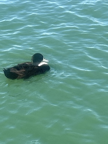

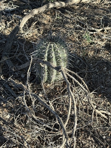
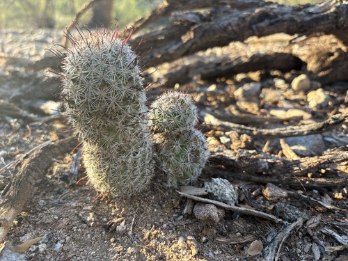
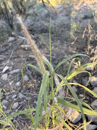
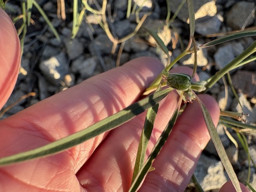
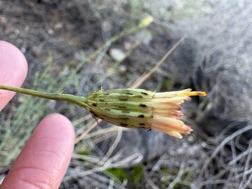
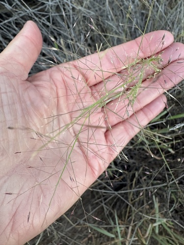
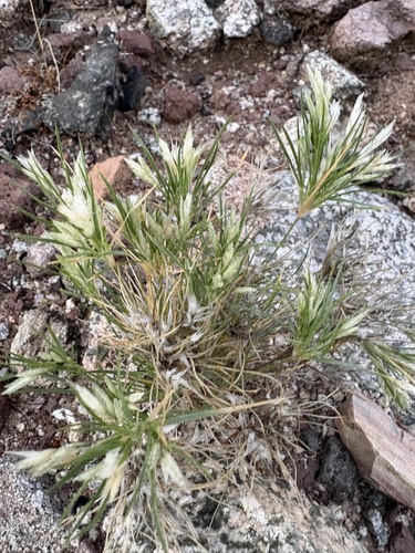
Research-grade observations from iNaturalist (within ~15 mi).
Nearest stream gauge
Events
Gallery
Sources
- • Wikipedia
- • US Census Bureau (ACS 5-year estimates)
- • NOAA National Weather Service
- • Wikidata
- • USGS Earthquake Catalog (global feed)
- • NCES via Urban Institute Education Data Portal
- • GBIF (Global Biodiversity Information Facility)
- • iNaturalist
- • CDC PLACES
- • Open-Meteo / sunrise-sunset.org
- • Wikipedia Pageviews API
- • Open Library
- • NASA EONET