Browse / Bulgaria / Kardzhali / Tatul
Tatul
Kardzhalivillage

Tatul
Total population
189
Demographic figures from NSI Bulgaria. Overview below cites Wikipedia and may reference a different year.
City facts
Facts from Wikidata (CC0).
Overview
Tatul is a village in Momchilgrad municipality, Kardzhali Province located in the Eastern Rhodopes in southern Bulgaria. It is lies at 319 m above sea level at 41.5536° N, 25.5412° E, 15 km east of Momchilgrad, and as of September 2005 has a population of 189 people. Most of the houses were built of well-cut stone blocks.
Read more on WikipediaHistory & geography
Geography
Coordinates & boundaries from the US Census TIGER/Line shapefiles.
Climate
Air quality
Walkability
Amenities nearby
Wildlife & biodiversity
Earthquake history
Photos
Sights & places nearby
Notable people from here
People born within ~10 km, from Wikidata (CC0). Click any name for their Wikipedia article.
Nearby places in Kardzhali
- Boino14.1 mi away
- Varoš555.2 mi away · pop. 74
- Mlakva560.3 mi away · pop. 51
- Vaganac560.5 mi away
- Gorići570.3 mi away · pop. 22
- Djebabra1239.2 mi away · pop. 3,403
- Meftah1240.6 mi away · pop. 64,978
- Souakria1240.8 mi away
- Aït Tachfine1242.4 mi away
- Aït Djellid1244.2 mi away
- Aït Ghmat1244.7 mi away
- Belaouadi1245.5 mi away
Geography & sun
Elevation, sunrise/sunset and daylight from Open-Meteo. Solar climatology from NASA POWER.
Nearby airports
Public attention
Pageview totals from the Wikimedia Pageviews API.
Books about this place
Recent natural events nearby
Ground air-quality sensors
Recently spotted species
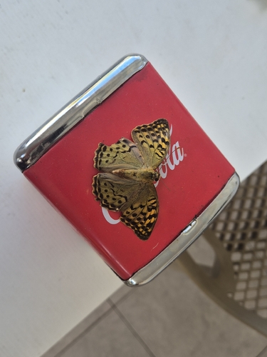
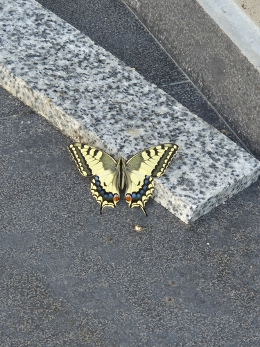
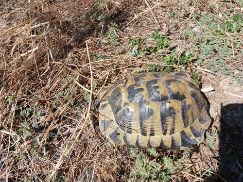
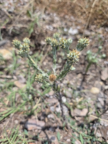
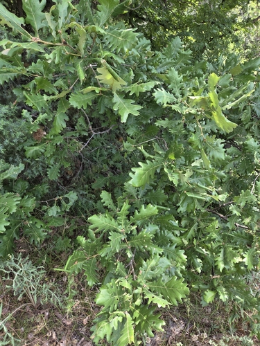
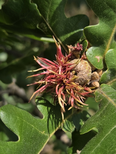
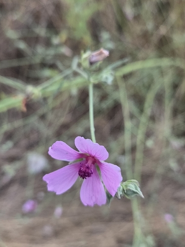
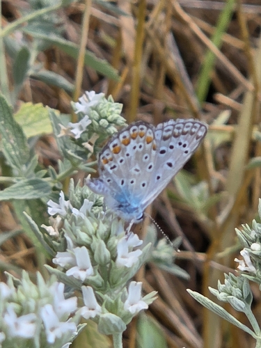
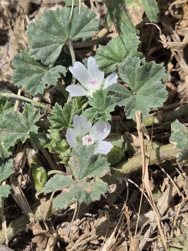
Research-grade observations from iNaturalist (within ~15 mi).
Events
Gallery
Sources
- • Wikipedia
- • Wikidata
- • iNaturalist
- • Open-Meteo / sunrise-sunset.org
- • Wikipedia Pageviews API