Browse / Brazil / Pará / Abaetetuba
Abaetetuba
Parátown

Abaetetuba
Total population
158,188
Founded
1750
Air quality index
Demographic figures from IBGE. Overview below cites Wikipedia and may reference a different year.
City facts
Facts from Wikidata (CC0).
Overview
The city of Abaetetuba is located in Pará State, Brazil. The population of the municipality is 158,188. It is located in the northern region of Brazil and in the northeastern part of Pará, at a latitude of 01°43'05" south and longitude 48°52'57" west. It lies on the right bank of the Tocantins River mouth. Abaetetuba is the hub city of the Baixo Tocantins Region and the 6th most populous city in the state. The municipality consists of two districts: Abaetetuba (headquarters) and Beja.
Read more on WikipediaHistory & geography
History
First settlements in the region date to 1635, when Capuchin friars originating in the convent of Una in Belém joined a village of nomadic indigenous tribes in a settlement with the name of Samaúma, though later baptized as the district of Beja by governor Francisco Xavier de Mendonça Furtado. Later, in 1724, Francisco de Azevedo Monteiro, dedicated to the exploration of local amazonian spices and goods, acquired a Sesmaria in the region, founding a settlement on the shores of the river Maratauíra in a location protected from the tides by the island of Sirituba, which would later form the urban center of the current city. Known then as Abaeté, the settlement was granted the status of autonomous municipality and separated from the capital of Belém in 1880 through law nº 973, Abaeté would later be granted the status of city in 1895 through state law nº 324 and finally change its name to Abaetetuba on 30 December 1943, through decree-law nº 4.505.
Excerpted from the corresponding Wikipedia article (CC BY-SA).
Geography
Coordinates & boundaries from the US Census TIGER/Line shapefiles.
Climate
Air quality
Current readings from Open-Meteo Air Quality API (Copernicus CAMS European reanalysis).
Walkability
Amenities nearby
Wildlife & biodiversity
Most-observed species
- White-throated ToucanRamphastos tucanus Linnaeus, 1758 · Aves50
- BananaquitCoereba flaveola (Linnaeus, 1758) · Aves50
- Red-eyed VireoVireo olivaceus (Linnaeus, 1766) · Aves48
- Palm TanagerThraupis palmarum (Wied-Neuwied, 1821) · Aves48
- Pale-breasted ThrushTurdus leucomelas Vieillot, 1818 · Aves42
- Great KiskadeePitangus sulphuratus (Linnaeus, 1766) · Aves40
- Roadside HawkRupornis magnirostris (Gmelin, 1788) · Aves33
- Silver-beaked TanagerRamphocelus carbo (Pallas, 1764) · Aves31
Citizen-science & research observations from the Global Biodiversity Information Facility (GBIF).
Earthquake history
Events from the USGS Earthquake Catalog (global) (FDSN Event Web Service).
Photos
Sights & places nearby
Notable people from here


People born within ~10 km, from Wikidata (CC0). Click any name for their Wikipedia article.
Nearby places in Pará
Geography & sun
Elevation, sunrise/sunset and daylight from Open-Meteo. Solar climatology from NASA POWER.
Nearby airports
Public attention
Pageview totals from the Wikimedia Pageviews API.
Books about Abaetetuba
Search results from Open Library.
Recent natural events nearby
Ground air-quality sensors
Recently spotted species
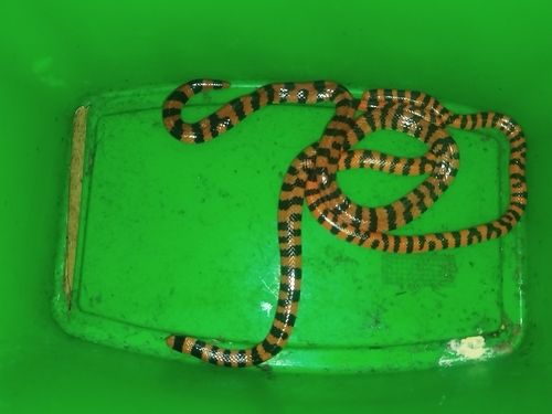
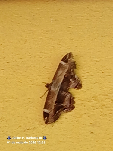
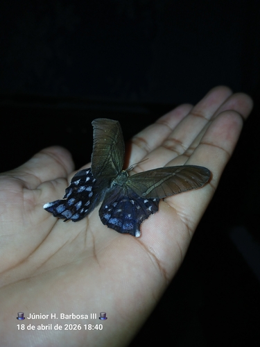
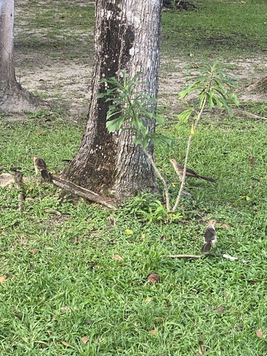
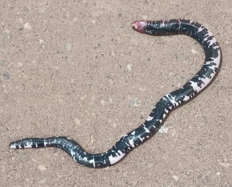
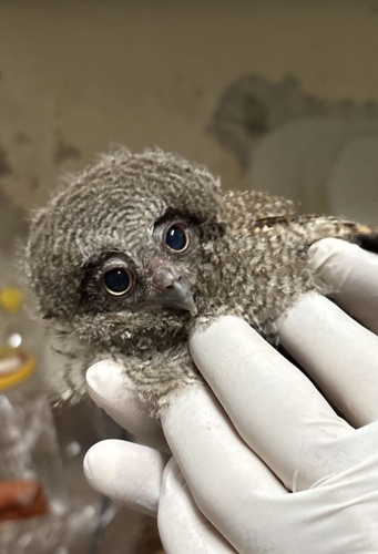
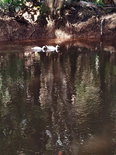
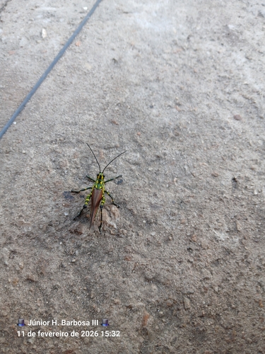
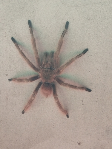
Research-grade observations from iNaturalist (within ~15 mi).
Events
Gallery
Geotagged photos within ~6 miles of Abaetetuba, from Wikimedia Commons contributors.
 0.3 mi
 0.3 mi
 0.3 mi
 0.4 mi
 0.4 mi
 0.4 mi
 0.4 mi
 0.4 mi
 0.5 mi
 0.6 mi
 0.6 mi
 0.6 mi
 0.6 mi
 0.6 mi
 0.6 mi
 0.6 mi
 0.6 mi
 0.6 mi
 0.6 mi
 0.6 mi
 0.6 mi
 0.6 mi
 0.7 mi
 0.7 mi
Photos via Wikimedia Commons — see each image page for license & attribution.
Official Identifiers
IBGE — Brazilian Institute of Geography and Statistics
- IBGE code
- 1500107
- UF
- PA
- Mesorregião
- Nordeste Paraense
- Microrregião
- Cametá
servicodados.ibge.gov.br
Sources
- • Wikipedia
- • Wikimedia Commons
- • Wikidata
- • Open-Meteo Air Quality (CAMS)
- • USGS Earthquake Catalog (global feed)
- • GBIF (Global Biodiversity Information Facility)
- • iNaturalist
- • Open-Meteo / sunrise-sunset.org
- • Wikipedia Pageviews API
- • Open Library
- • Wikidata SPARQL (CC0) — population, area, elevation, inception, head of government, Commons image
- • IBGE — Brazilian national statistics, via servicodados.ibge.gov.br (official municipal code, UF, mesorregião, microrregião, region)
- • IBGE — Brazilian Institute of Geography and Statistics — servicodados.ibge.gov.br