Browse / Brazil / Goiás / Araçu
Araçu
Goiásvillage

Araçu
Total population
3,799
Air quality index
Demographic figures from IBGE. Overview below cites Wikipedia and may reference a different year.
City facts
Facts from Wikidata (CC0).
Overview
Araçu is a municipality in central Goiás state, Brazil.
Read more on WikipediaHistory & geography
History
Araçu began on the ranch owned by José Jacinto da Silva, where there was a cemetery built in 1911. In 1912 Silva donated part of his land for the building of a chapel. From 1925 to 1930 with the arrival of the families of Antônio Camargo and João Faria, the settlement known as São Sebastião do Salobro, began to grow. In 1935 it belonged to the municipality of Itauçu and in 1941 it became a district with the name Araçu, a Tupi term that means "Terra Grande" (Large Land). In 1958 it was dismembered from Itauçu and became a municipality. Source: [https://web.archive.org/web/20070115162332/http://www.seplan.go.gov.br/sepin/ Sepin]
Geography
Araçu is part of the Anápolis Microregion and is a short distance northwest of the state capital, Goiânia. It has boundaries with Itaberaí, Itauçu, and Caturaí. The distance to the state capital, Goiânia, is and highway connections are made by GO-070 / Goianira / GO-523 / Caturaí / GO-222.
Excerpted from the corresponding Wikipedia article (CC BY-SA).
Geography
Coordinates & boundaries from the US Census TIGER/Line shapefiles.
Climate
Air quality
Current readings from Open-Meteo Air Quality API (Copernicus CAMS European reanalysis).
Walkability
Amenities nearby
Wildlife & biodiversity
Most-observed species
- Ruddy Ground-DoveColumbina talpacoti (Temminck, 1810) · Aves11
- Common Tody-FlycatcherTodirostrum cinereum (Linnaeus, 1766) · Aves10
- Rufous HorneroFurnarius rufus (Gmelin, 1788) · Aves10
- Rufous-browed PeppershrikeCyclarhis gujanensis (Gmelin, 1789) · Aves10
- Blue-black GrassquitVolatinia jacarina (Linnaeus, 1766) · Aves10
- Saffron FinchSicalis flaveola (Linnaeus, 1766) · Aves10
- Picazuro PigeonPatagioenas picazuro (Temminck, 1813) · Aves10
- Yellow-chevroned ParakeetBrotogeris chiriri (Vieillot, 1818) · Aves9
Citizen-science & research observations from the Global Biodiversity Information Facility (GBIF).
Earthquake history
Events from the USGS Earthquake Catalog (global) (FDSN Event Web Service).
Photos
Sights & places nearby
Notable people from here
Nearby places in Goiás
- Avelinópolis9.2 mi away · pop. 2,868
- Santa Amália10.9 mi away
- Inhumas12 mi away · pop. 52,204
- Bairro dos Gomes12.6 mi away
- Capelinha dos Gomes13.7 mi away
- Caturaí14.1 mi away · pop. 5,184
- Santa Bárbara de Goiás15.4 mi away · pop. 6,149
- Claudinápolis15.5 mi away
- Vilas Boas15.9 mi away
- Vila Nova18.1 mi away
- Nazário20.4 mi away · pop. 8,189
- Americano do Brasil21.1 mi away · pop. 5,259
Geography & sun
Elevation, sunrise/sunset and daylight from Open-Meteo. Solar climatology from NASA POWER.
Nearby airports
Public attention
Pageview totals from the Wikimedia Pageviews API.
Books about this place
Recent natural events nearby
Ground air-quality sensors
Recently spotted species

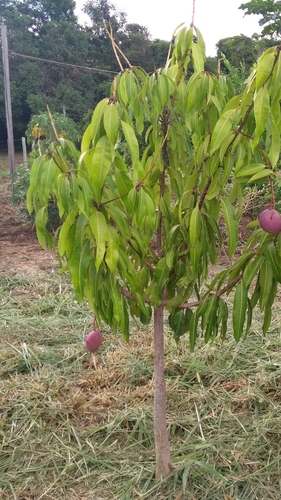
Research-grade observations from iNaturalist (within ~15 mi).
Events
Gallery
Official Identifiers
IBGE — Brazilian Institute of Geography and Statistics
- IBGE code
- 5201603
- UF
- GO
- Mesorregião
- Centro Goiano
- Microrregião
- Anápolis
servicodados.ibge.gov.br
Sources
- • Wikipedia
- • Wikidata
- • Open-Meteo Air Quality (CAMS)
- • USGS Earthquake Catalog (global feed)
- • GBIF (Global Biodiversity Information Facility)
- • iNaturalist
- • Open-Meteo / sunrise-sunset.org
- • Wikipedia Pageviews API
- • IBGE — Brazilian national statistics, via servicodados.ibge.gov.br (official municipal code, UF, mesorregião, microrregião, region)
- • IBGE — Brazilian Institute of Geography and Statistics — servicodados.ibge.gov.br