Browse / Brazil / Distrito Federal / Brasília
Brasília
Distrito Federalcity

Brasília
Total population
2,817,381
Founded
1960
Air quality index
Demographic figures from IBGE. Overview below cites Wikipedia and may reference a different year.
City facts
Sister cities
Facts from Wikidata (CC0).
Overview
Brasília is the capital city of Brazil and the Federal District. Located in the Brazilian Highlands in the country's Central-West region, it was founded by President Juscelino Kubitschek on 21 April 1960, to replace Rio de Janeiro as the national capital. Brasília is Brazil's third-most populous city after São Paulo and Rio de Janeiro, with a population of 2.8 million. Among major Latin American cities, it has the highest GDP per capita.
Read more on WikipediaHistory & geography
History
Brazil's first capital was Salvador; in 1763 Rio de Janeiro became Brazil's capital and remained so until 1960. During this period, resources tended to be centered in Brazil's southeastern region, and most of the country's population was concentrated near its Atlantic coast. Brasilia's geographically central location fostered a more regionally neutral federal capital. The idea of relocating Brazil's capital city was conceived in 1827 by José Bonifácio, an advisor to Emperor Pedro I. He presented a plan to the General Assembly of Brazil for a new city called Brasília, with the idea of moving the capital westward from the heavily populated southeastern corridor. The original plan was to build Brasília upstream at the São Francisco River, instead of the later plans in the region around Goiás. The bill was not enacted because Pedro I dissolved the Assembly. According to a legend, Italian saint Don Bosco in 1883 had a dream in which he described a futuristic city that roughly fitted Brasília's location. In Brasília today, many references to Bosco, who founded the Salesian order, are found throughout the city and one church parish in the city bears his name. After the Proclamation of the Republic, the Third Article of the new Constitution from 1891 stated that the capital should be moved from Rio de Janeiro to a place close to the country's center. Stating that "The Union shall own, in the central plateau of the Republic, an area of 14,400 square kilometers, which will be demarcated in due course to establish the future federal capital." The government commissioned Belgian geodesist and astronomer Luís Cruls for a mission into the Central Plateau for surveying the land for the future capital, having done two expeditions in 1892 and 1894. The land demarcated for the…
Geography
The city sits at an elevation of , on the Brazilian Highlands in the country's central-western region. Paranoá Lake, a large artificial lake, was built to increase the amount of water available and to maintain the region's humidity. It has a marina, and hosts wakeboarders and windsurfers. Diving can also be practiced; one of the main attractions is Vila Amaury, an old village submerged in the lake where the first construction workers of Brasília lived. Brasília has a tropical savanna climate (Aw, according to the Köppen climate classification), milder due to the elevation and with two distinct seasons: the rainy season, from October to April, and the dry season, from May to September. The average temperature is . According to the Brazilian National Institute of Meteorology (INMET), the record low temperature was on 18 July 1975, and the record high was on 18 October 2015 and 8 October 2020. The highest accumulated rainfall in 24 hours was on 15 November 1963.
Excerpted from the corresponding Wikipedia article (CC BY-SA).
Geography
Coordinates & boundaries from the US Census TIGER/Line shapefiles.
Climate
Air quality
Current readings from Open-Meteo Air Quality API (Copernicus CAMS European reanalysis).
Walkability
Amenities nearby
Wildlife & biodiversity
Most-observed species
- Rufous HorneroFurnarius rufus (Gmelin, 1788) · Aves6,572
- Great KiskadeePitangus sulphuratus (Linnaeus, 1766) · Aves6,456
- Yellow-chevroned ParakeetBrotogeris chiriri (Vieillot, 1818) · Aves6,071
- Saffron FinchSicalis flaveola (Linnaeus, 1766) · Aves5,733
- Rufous-bellied ThrushTurdus rufiventris Vieillot, 1818 · Aves5,199
- Picazuro PigeonPatagioenas picazuro (Temminck, 1813) · Aves4,746
- Ruddy Ground-DoveColumbina talpacoti (Temminck, 1810) · Aves4,339
- Chalk-browed MockingbirdMimus saturninus (Lichtenstein, 1823) · Aves4,055
Citizen-science & research observations from the Global Biodiversity Information Facility (GBIF).
Earthquake history
Events from the USGS Earthquake Catalog (global) (FDSN Event Web Service).
Photos
Sights & places nearby
Notable people from here


People born within ~10 km, from Wikidata (CC0). Click any name for their Wikipedia article.
Nearby places in Distrito Federal
- Sudoeste e Octogonal2.8 mi away · pop. 55,366
- Lago Sul3.2 mi away · pop. 30,446
- Cruzeiro3.6 mi away · pop. 30,860
- Lago Norte4.3 mi away · pop. 37,539
- SIA5.1 mi away · pop. 1,737
- Varjão5.8 mi away · pop. 8,953
- Candangolândia6 mi away · pop. 16,339
- SCIA6.4 mi away · pop. 37,527
- Guará6.6 mi away · pop. 142,083
- Altiplano Leste7 mi away
- Paranoá7 mi away · pop. 69,858
- Núcleo Bandeirante7.8 mi away · pop. 24,093
Geography & sun
Elevation, sunrise/sunset and daylight from Open-Meteo. Solar climatology from NASA POWER.
Nearby airports
Public attention
Pageview totals from the Wikimedia Pageviews API.
Books about Brasília
Search results from Open Library.
Recent natural events nearby
Ground air-quality sensors
Recently spotted species
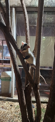
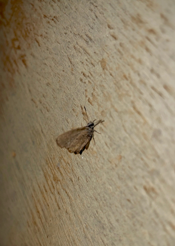
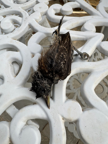
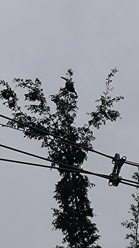
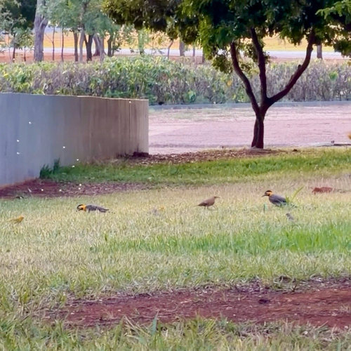
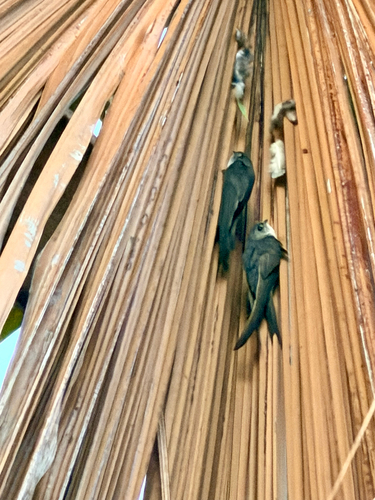
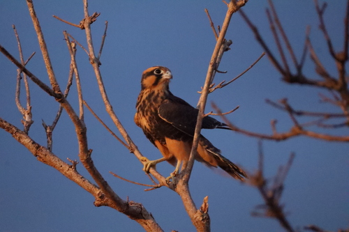
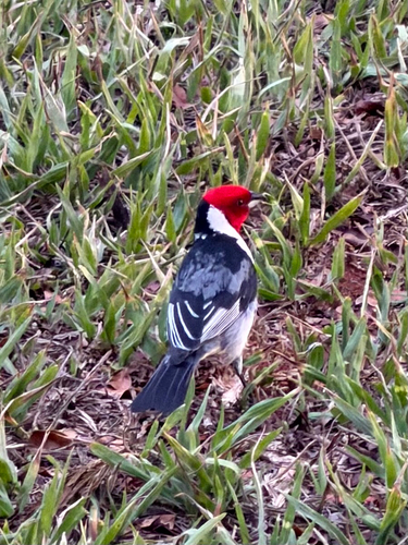
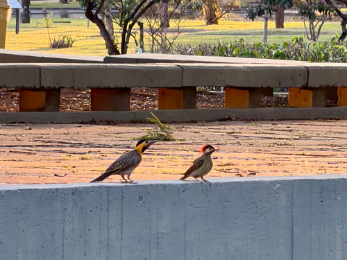
Research-grade observations from iNaturalist (within ~15 mi).
Events
Notable, recurring, and historical events associated with Brasília, sourced from Wikidata.
Source: Wikidata (CC0).
Gallery
Geotagged photos within ~6 miles of Brasília, from Wikimedia Commons contributors.


.jpg)
.jpg)
.jpg)
.jpg)
.jpg)
.jpg)
.jpg)
.jpg)
.jpg)
.jpg)
.jpg)
.jpg)
.jpg)
.jpg)


Photos via Wikimedia Commons — see each image page for license & attribution.
Official Identifiers
IBGE — Brazilian Institute of Geography and Statistics
- IBGE code
- 5300108
- UF
- DF
- Mesorregião
- Distrito Federal
- Microrregião
- Brasília
servicodados.ibge.gov.br
Sources
- • Wikipedia
- • Wikimedia Commons
- • Wikidata
- • Open-Meteo Air Quality (CAMS)
- • USGS Earthquake Catalog (global feed)
- • GBIF (Global Biodiversity Information Facility)
- • iNaturalist
- • Open-Meteo / sunrise-sunset.org
- • Wikipedia Pageviews API
- • Open Library
- • Wikidata SPARQL (CC0) — population, area, elevation, inception, head of government, Commons image
- • IBGE — Brazilian national statistics, via servicodados.ibge.gov.br (official municipal code, UF, mesorregião, microrregião, region)
- • IBGE — Brazilian Institute of Geography and Statistics — servicodados.ibge.gov.br