Browse / Brazil / Distrito Federal / SCIA
SCIA
Distrito Federaltown

SCIA
Total population
37,527
Founded
2004
Demographic figures from IBGE. Overview below cites Wikipedia and may reference a different year.
City facts
Facts from Wikidata (CC0).
Overview
Setor Complementar de Indústria e Abastecimento is an administrative region in the Federal District in Brazil. It is bordered by Brasília to the north, SIA to the east and south, and Vicente Pires to the west. Setor Complementar de Indústria e Abastecimento was founded on October 25, 1989, receiving the status of administrative region, according to Law 3315, of January 27, 2004. Its current administrator is Alceu Prestes de Mattos. As of 2010, it has a population of 25,732.
Read more on WikipediaHistory & geography
Geography
Setor Complementar de Indústria e Abastecimento is located in the Brazilian Highlands, in the Central-West region of Brazil. Setor Complementar de Indústria e Abastecimento has a Tropical Savanna climate (Köppen: Aw). The climate has two distinct seasons, the rainy season, from October to April, and the dry season, from May to September. During the dry season, the city can have very low relative humidity levels, often below 30%. The average temperature is .
Excerpted from the corresponding Wikipedia article (CC BY-SA).
Geography
Coordinates & boundaries from the US Census TIGER/Line shapefiles.
Climate
Air quality
Walkability
Amenities nearby
Wildlife & biodiversity
Most-observed species
- Rufous HorneroFurnarius rufus (Gmelin, 1788) · Aves6,219
- Great KiskadeePitangus sulphuratus (Linnaeus, 1766) · Aves6,137
- Yellow-chevroned ParakeetBrotogeris chiriri (Vieillot, 1818) · Aves5,752
- Saffron FinchSicalis flaveola (Linnaeus, 1766) · Aves5,370
- Rufous-bellied ThrushTurdus rufiventris Vieillot, 1818 · Aves5,027
- Picazuro PigeonPatagioenas picazuro (Temminck, 1813) · Aves4,395
- Ruddy Ground-DoveColumbina talpacoti (Temminck, 1810) · Aves4,060
- Pale-breasted ThrushTurdus leucomelas Vieillot, 1818 · Aves3,785
Citizen-science & research observations from the Global Biodiversity Information Facility (GBIF).
Earthquake history
Events from the USGS Earthquake Catalog (global) (FDSN Event Web Service).
Photos
Sights & places nearby
Notable people from here


People born within ~10 km, from Wikidata (CC0). Click any name for their Wikipedia article.
Nearby places in Distrito Federal
- SIA1.9 mi away · pop. 1,737
- Guará2.5 mi away · pop. 142,083
- Condominio Verde Perto2.6 mi away
- Cruzeiro2.8 mi away · pop. 30,860
- Village das Pedras3 mi away
- Vicente Pires3 mi away · pop. 78,561
- Sudoeste e Octogonal3.8 mi away · pop. 55,366
- Candangolândia5 mi away · pop. 16,339
- Águas Claras5 mi away · pop. 120,107
- Arniqueira5.4 mi away · pop. 47,045
- Núcleo Bandeirante5.8 mi away · pop. 24,093
- Taguatinga6 mi away · pop. 210,498
Geography & sun
Elevation, sunrise/sunset and daylight from Open-Meteo. Solar climatology from NASA POWER.
Nearby airports
Public attention
Pageview totals from the Wikimedia Pageviews API.
Books about this place
Recent natural events nearby
Ground air-quality sensors
Recently spotted species
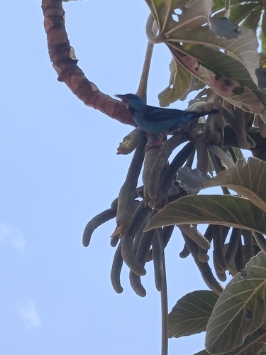
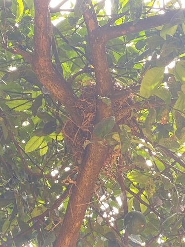
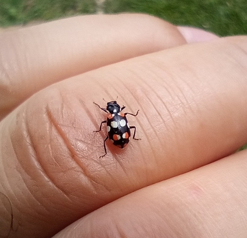
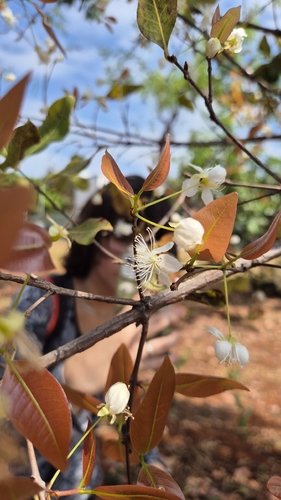
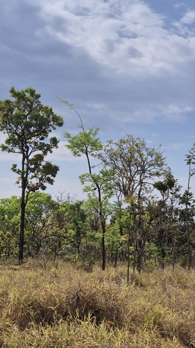
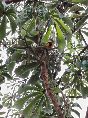
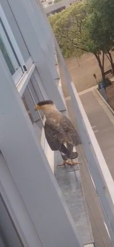
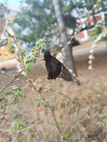
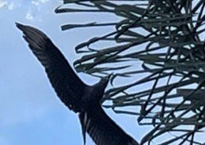
Research-grade observations from iNaturalist (within ~15 mi).
Events
Gallery
Sources
- • Wikipedia
- • Wikidata
- • USGS Earthquake Catalog (global feed)
- • GBIF (Global Biodiversity Information Facility)
- • iNaturalist
- • Open-Meteo / sunrise-sunset.org
- • Wikipedia Pageviews API