Browse / Brazil / Distrito Federal / Vicente Pires
Vicente Pires
Distrito Federaltown

Vicente Pires
Total population
78,561
Demographic figures from IBGE. Overview below cites Wikipedia and may reference a different year.
City facts
Facts from Wikidata (CC0).
Overview
Vicente Pires is an administrative region in the Federal District in Brazil. It is bordered by Taguatinga to the west, Águas Claras to the south, Guará to the southeast, Brasília to the north, and Brazlândia to the northwest. According to a 2016 report, Vicente Pires has a population of 72,879. Vicente Pires is the 16th largest administrative region by population.
Read more on WikipediaHistory & geography
History
The future lands of Vicente Pires were previously inhabited by Indians, and in the 70s by farmers. In 1989, the then Governor José Aparecido, decided to centralize the process of expanding the rural production area of the Águas Claras Agricultural Colony to the Agricultural Colonies of Vicente Pires, Samambaia and São José. Through an agreement intermediated by the GDF and carried out by means of the Zoobotanic Foundation, a land use contract for agricultural production was made with about 360 farmers, with a term of use stipulated in 30 years. Vicente Pires was founded on May 26, 1989, receiving the status of administrative region, according to Law 4327, of May 26, 2009. Was dismembered from Taguatinga and started to have its own administration. This occurred 20 years after the first farms in the former agricultural colony were established. Vicente Pires then comes to comprise the Vicente Pires Housing Sector, Samambaia Housing Sector, São José Housing Sector and Cana-do-Reino Housing Sector. Some streets were restored, but the population still suffers with the lack of proper road infrastructure and potholes. More recently, there have been investments to the administrative region's road infrastructure. In May 2010, the Regional Administration of Vicente Pires held a contest among the public and private schools of the administrative region with students from 1st to 9th grade of elementary school to choose their civic symbols (flag, anthem and coat of arms). The name of the winners and their respective symbols can be found in the Diário Oficial do Distrito Federal (section 01-171 3 September 2010). The regions of the Colonias Agrícolas Vicente Pires are part of the Urban Qualification and Expansion Zone, these are areas initially intended for rural use that have…
Geography
Vicente Pires is located in the Brazilian Highlands, in the Central-West region of Brazil. The Administrative Region is bordered by Taguatinga, Águas Claras, Guará, SCIA, SAI, Brazlândia and Brasília. Vicente Pires comprises of land area. The climate has two distinct seasons, the rainy season, from October to April, and the dry season, from May to September. During the dry season, the city can have very low relative humidity levels, often below 30%. The average temperature is .
Excerpted from the corresponding Wikipedia article (CC BY-SA).
Geography
Coordinates & boundaries from the US Census TIGER/Line shapefiles.
Climate
Air quality
Walkability
Amenities nearby
Wildlife & biodiversity
Earthquake history
Photos
Sights & places nearby
Notable people from here


People born within ~10 km, from Wikidata (CC0). Click any name for their Wikipedia article.
Nearby places in Distrito Federal
- Village das Pedras0.4 mi away
- Condominio Verde Perto0.8 mi away
- Águas Claras2.1 mi away · pop. 120,107
- Guará2.7 mi away · pop. 142,083
- SCIA3 mi away · pop. 37,527
- Arniqueira3.1 mi away · pop. 47,045
- Taguatinga3.1 mi away · pop. 210,498
- SIA3.8 mi away · pop. 1,737
- Riacho Fundo4.8 mi away · pop. 44,464
- Núcleo Bandeirante5.1 mi away · pop. 24,093
- Candangolândia5.2 mi away · pop. 16,339
- Cruzeiro5.4 mi away · pop. 30,860
Geography & sun
Elevation, sunrise/sunset and daylight from Open-Meteo. Solar climatology from NASA POWER.
Nearby airports
Public attention
Pageview totals from the Wikimedia Pageviews API.
Books about this place
Recent natural events nearby
Ground air-quality sensors
Recently spotted species
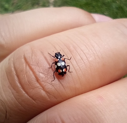
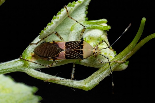
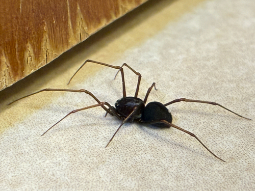
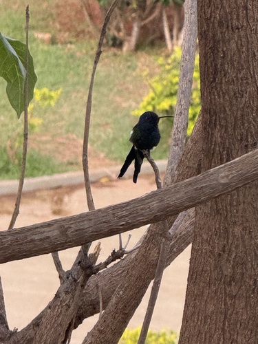
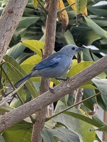
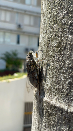
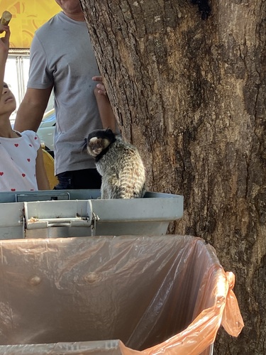
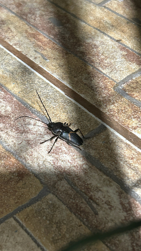
Research-grade observations from iNaturalist (within ~15 mi).
Events
Gallery
Sources
- • Wikipedia
- • Wikidata
- • iNaturalist
- • Open-Meteo / sunrise-sunset.org
- • Wikipedia Pageviews API
- • Wikidata SPARQL (CC0) — population, area, elevation, inception, head of government, Commons image