Browse / Brazil / São Paulo / Campinas
Campinas
São Paulocity

Campinas
Total population
1,139,047
Founded
1774
Air quality index
Demographic figures from IBGE. Overview below cites Wikipedia and may reference a different year.
City facts
Sister cities
Facts from Wikidata (CC0).
Overview
Campinas is a city in the Brazilian state of São Paulo, located 84 kilometers northwest of the city of São Paulo. As of 2024, the city's population is estimated at 1,185,977, making it the fourteenth most populous Brazilian city and the third most populous in São Paulo state. The city's metropolitan area encompasses twenty municipalities with a total population of 3,491,150 people.
Read more on WikipediaHistory & geography
History
The city was founded on July 14, 1774, by Barreto Leme. It was initially a simple outpost on the way to Minas Gerais and Goiás serving the "Bandeirantes" who were in search of precious minerals and Indian slaves. In the first half of the 19th century, Campinas became a growing population center, with many coffee, cotton and sugarcane farms. The construction of a railway linking the city of São Paulo to Santos' seaport, in 1867, was very important for its growth. In the second half of the 19th century, with the abolition of slavery, farming and industrialization attracted many foreign immigrants to replace the lost manpower, mainly from Italy. Coffee became an important export and the city became wealthy. In consequence, a large service sector was established to serve the growing population, and in the first decades of the 20th century, Campinas could already boast of an opera house, theaters, banks, movie theaters, radio stations, a philharmonic orchestra, two newspapers (Correio Popular and Diário do Povo), a good public education system (with the Escola Normal de Campinas and the Colégio Culto à Ciência), and hospitals such as Santa Casa de Misericórdia (a charity for poor people) and Casa de Saúde de Campinas (for the Italian community, formerly known as Circolo Italiani Uniti), and Instituto Agronômico de Campinas, the Brazilian research center in agricultural sciences which was founded by Emperor Pedro II. Finally, the construction in 1938 of Anhanguera Highway between Campinas and São Paulo - the first Brazilian highway, was a turning point in the integration of Campinas into the rest of the state. Campinas was the birthplace of opera composer Carlos Gomes (1836 — 1896) and of President of the Republic Campos Salles (1841 — 1913). For 49 years it was…
Geography
According to the Brazilian Institute of Geography and Statistics the area of the municipality is , of which urban area. It is located at 22°54′21″S, 47°03′39″W and is at a distance of northwest of São Paulo. Its neighboring cities are Paulínia, Jaguariúna and Pedreira, north; Morungaba, Itatiba and Valinhos in the east; Itupeva, Indaiatuba and Monte Mor, south, and Hortolândia in the west. Most of the original vegetation of the city was largely eliminated. Like 13 other municipalities in the metropolitan region of Campinas, the city is subject to some environmental stress, and Campinas is considered one of the areas liable to flooding and silting; it now has less than 5% of vegetation cover in total area. Trying to reverse this situation, several projects have been and are being conducted and planned, such as building corridors, and the regulation of the Management Plan of Environmental Preservation Area (APA) in Campinas. There are also several environmental projects to combat the destruction of riparian forests located along the banks of the Atibaia river, which has a high level of pollution. Today, Campinas houses the area of relevant ecological interest (ARIE) Mata de Santa Genebra, , established in 1985 by the city of Campinas' Fundação José Pedro de Oliveira and regulated by the Brazilian Environment and Renewable Natural Resources Institute (IBAMA). This is the now second-largest urban forest of Brazil, behind only the Tijuca Forest, in Rio de Janeiro. Winters are generally dry and mild (rarely too cold), and summers rainy with warm to hot temperatures. The warmest month is February, with an average temperature of 24 °C, an average maximum of 29.1 °C and average minimum of 19.0 °C. The coldest month, July, sees respective temperatures of…
Excerpted from the corresponding Wikipedia article (CC BY-SA).
Geography
Coordinates & boundaries from the US Census TIGER/Line shapefiles.
Climate
Air quality
Current readings from Open-Meteo Air Quality API (Copernicus CAMS European reanalysis).
Walkability
Amenities nearby
Wildlife & biodiversity
Most-observed species
- Great KiskadeePitangus sulphuratus (Linnaeus, 1766) · Aves4,640
- Picazuro PigeonPatagioenas picazuro (Temminck, 1813) · Aves4,311
- Sayaca TanagerThraupis sayaca (Linnaeus, 1766) · Aves4,238
- white-eyed conureAratinga leucophthalma (Statius Muller, 1776) · Aves4,083
- Eared DoveZenaida auriculata (Des Murs, 1847) · Aves4,000
- Pale-breasted ThrushTurdus leucomelas Vieillot, 1818 · Aves3,337
- Ruddy Ground-DoveColumbina talpacoti (Temminck, 1810) · Aves3,113
- Chalk-browed MockingbirdMimus saturninus (Lichtenstein, 1823) · Aves3,090
Citizen-science & research observations from the Global Biodiversity Information Facility (GBIF).
Earthquake history
Events from the USGS Earthquake Catalog (global) (FDSN Event Web Service).
Photos
Sights & places nearby
Notable people from here


People born within ~10 km, from Wikidata (CC0). Click any name for their Wikipedia article.
Nearby places in São Paulo
- Betel7.9 mi away
- Arcadas18.7 mi away
- Cardeal18.8 mi away
- Holambra18.8 mi away · pop. 15,094
- Vila Mollon22.2 mi away
- Zona Leste (SBO)22.5 mi away
- Jardim Santa Rita23 mi away
- Jardim Europa23.2 mi away
- Romano24.8 mi away
- Vila Grego25.5 mi away
- Várzea Paulista25.7 mi away · pop. 115,771
- Usina Esmeralda25.7 mi away
Geography & sun
Elevation, sunrise/sunset and daylight from Open-Meteo. Solar climatology from NASA POWER.
Nearby airports
Public attention
Pageview totals from the Wikimedia Pageviews API.
Books about Campinas

Search results from Open Library.
Recent natural events nearby
Ground air-quality sensors
Recently spotted species
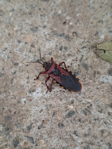
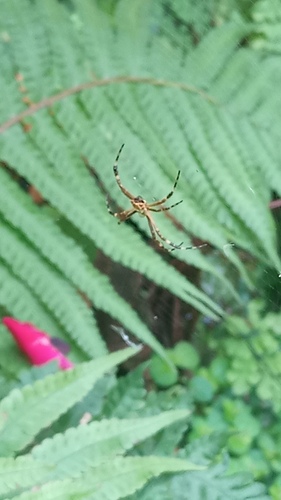
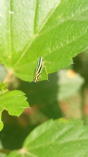
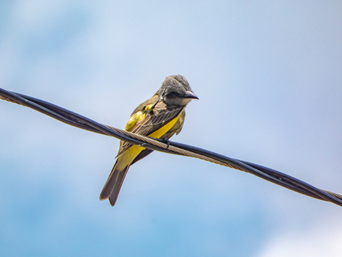
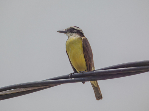
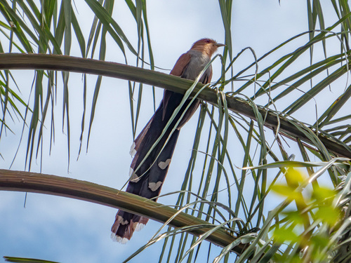
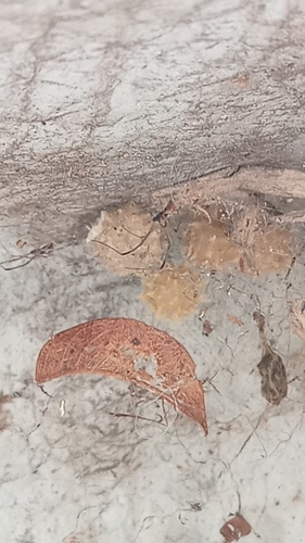
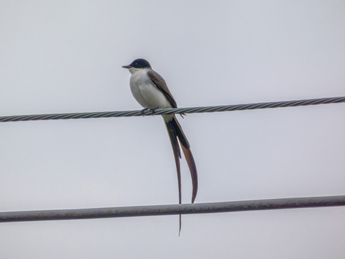
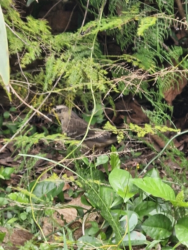
Research-grade observations from iNaturalist (within ~15 mi).
Events
Notable, recurring, and historical events associated with Campinas, sourced from Wikidata.
- Jan 1, 2015
Source: Wikidata (CC0).
Gallery
Official Identifiers
IBGE — Brazilian Institute of Geography and Statistics
- IBGE code
- 3509502
- UF
- SP
- Mesorregião
- Campinas
- Microrregião
- Campinas
servicodados.ibge.gov.br
Sources
- • Wikipedia
- • Wikidata
- • Open-Meteo Air Quality (CAMS)
- • USGS Earthquake Catalog (global feed)
- • GBIF (Global Biodiversity Information Facility)
- • iNaturalist
- • Open-Meteo / sunrise-sunset.org
- • Wikipedia Pageviews API
- • Open Library
- • Wikidata SPARQL (CC0) — population, area, elevation, inception, head of government, Commons image
- • IBGE — Brazilian national statistics, via servicodados.ibge.gov.br (official municipal code, UF, mesorregião, microrregião, region)
- • IBGE — Brazilian Institute of Geography and Statistics — servicodados.ibge.gov.br