Browse / Brazil / Distrito Federal / Ceilândia
Ceilândia
Distrito Federalcity

Ceilândia
Total population
350,347
Founded
1971
Demographic figures from IBGE. Overview below cites Wikipedia and may reference a different year.
City facts
Facts from Wikidata (CC0).
Overview
Ceilândia is an administrative region in the Federal District in Brazil. It is bordered by Brazlândia to the north, Taguatinga to the east, and Samambaia and Sol Nascente/Por do Sol to the south. With about 398,374 inhabitants, it is the administrative region of largest population in the Federal District. Ceilândia was created in 1971 by Hélio Prates da Silveira, originally created as the "CEI" in 1969, a campaign to combat irregular settlements near Brasília.
Read more on WikipediaHistory & geography
History
Ceilândia was originally created by the government in the 1970s as a campaign by then governor Hélio Prates da Silveira to keep people from moving into Brasília and setting up invasions. The root of the name Ceilândia is "CEI" (). The campaign was created by Hélio Prates da Silveira to prevent people from invading Brasilia, and to combat irregular settlements in the region. In 1969, after only nine years of existence, the Federal District already had 79,128 people living in irregular occupations, out of a population of 500 thousand inhabitants in all of the Federal District. In that year a seminar took place in Brasília concerning social problems of the Federal District. Invasion dwellers were the most serious problem. 17619 lots were laid out and in 1970 the first construction began. In nine months the transfer of the families was concluded with the streets opening. The population had no water, no public lighting, and no public transport and struggled against dust, mud and flash floods. Ceilândia was founded on March 27, 1971, receiving the status of administrative region, according to Law 49, of October 25, 1989. Today Ceilândia is the largest electoral college of the Federal District and the most populous city, with more inhabitants than the Brasília. It occupies a total of 91 residential squares laid out like Brasília, intercalated by areas for local commerce, churches and schools. There are also some special areas that are set aside to provide community services. An active commercial center, it has 4,500 commercial establishments and 1,600 small industries. The economically active population is more than 160,000 people. Two important locals of Ceilandia are the ' (Water Tower), and the ' (House of the Singer), a cultural center dedicated to the artists of…
Excerpted from the corresponding Wikipedia article (CC BY-SA).
Geography
Coordinates & boundaries from the US Census TIGER/Line shapefiles.
Climate
10-year averages from ERA5 reanalysis (Open-Meteo).
Air quality
Walkability
Amenities nearby
Wildlife & biodiversity
Most-observed species
- Rufous HorneroFurnarius rufus (Gmelin, 1788) · Aves1,773
- Great KiskadeePitangus sulphuratus (Linnaeus, 1766) · Aves1,745
- Yellow-chevroned ParakeetBrotogeris chiriri (Vieillot, 1818) · Aves1,729
- Saffron FinchSicalis flaveola (Linnaeus, 1766) · Aves1,601
- Chalk-browed MockingbirdMimus saturninus (Lichtenstein, 1823) · Aves1,380
- Picazuro PigeonPatagioenas picazuro (Temminck, 1813) · Aves1,346
- Rufous-bellied ThrushTurdus rufiventris Vieillot, 1818 · Aves1,214
- Southern LapwingVanellus chilensis (Molina, 1782) · Aves1,199
Citizen-science & research observations from the Global Biodiversity Information Facility (GBIF).
Earthquake history
Events from the USGS Earthquake Catalog (global) (FDSN Event Web Service).
Photos
Sights & places nearby
Notable people from here


People born within ~10 km, from Wikidata (CC0). Click any name for their Wikipedia article.
Nearby places in Distrito Federal
- Sol Nascente/Pôr do Sol2.3 mi away · pop. 93,217
- Taguatinga3.4 mi away · pop. 210,498
- Samambaia4.3 mi away · pop. 247,629
- Águas Claras5.4 mi away · pop. 120,107
- Vicente Pires5.9 mi away · pop. 78,561
- Village das Pedras6.2 mi away
- Alexandre Gusmão6.6 mi away
- Recanto das Emas6.6 mi away · pop. 133,564
- Condominio Verde Perto6.7 mi away
- Arniqueira6.8 mi away · pop. 47,045
- Núcleo Rural Monjolinho6.9 mi away
- Riacho Fundo II7.2 mi away · pop. 72,988
Geography & sun
Elevation, sunrise/sunset and daylight from Open-Meteo. Solar climatology from NASA POWER.
Nearby airports
Public attention
Pageview totals from the Wikimedia Pageviews API.
Books about Ceilândia
Search results from Open Library.
Recent natural events nearby
Ground air-quality sensors
Recently spotted species
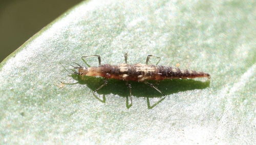
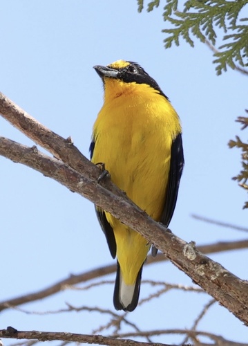
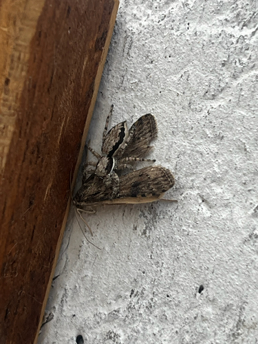
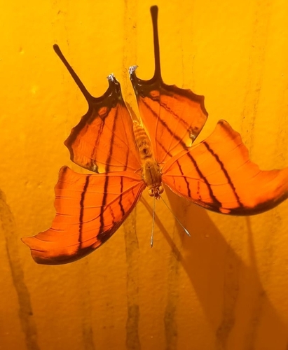
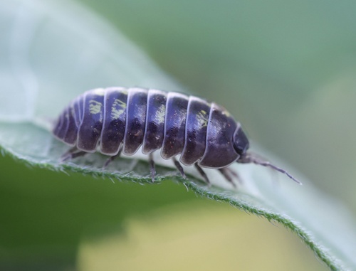
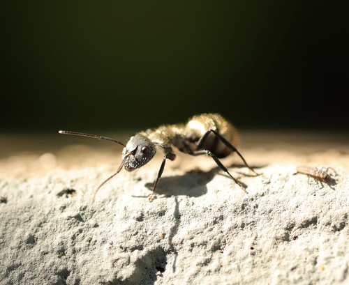
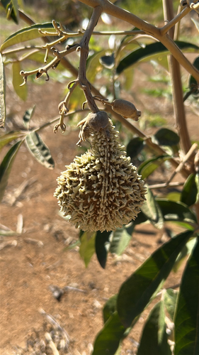
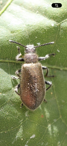
Research-grade observations from iNaturalist (within ~15 mi).
Events
Gallery
Geotagged photos within ~6 miles of Ceilândia, from Wikimedia Commons contributors.
.jpg) 0.1 mi
0.1 mi.jpg) 0.1 mi
0.1 mi.jpg) 0.1 mi
0.1 mi.jpg) 0.1 mi
0.1 mi.jpg) 0.1 mi
0.1 mi.jpg) 0.1 mi
0.1 mi.jpg) 0.1 mi
0.1 mi.jpg) 0.1 mi
0.1 mi 0.2 mi
 0.2 mi
 0.2 mi
 0.4 mi
 0.4 mi
.jpg) 0.4 mi
0.4 mi.jpg) 0.4 mi
0.4 mi.jpg) 0.4 mi
0.4 mi 0.6 mi
 0.6 mi
 0.6 mi
.jpg) 0.6 mi
0.6 mi.jpg) 0.6 mi
0.6 mi.jpg) 0.6 mi
0.6 mi.jpg) 0.6 mi
0.6 mi 0.7 mi
Photos via Wikimedia Commons — see each image page for license & attribution.
Sources
- • Wikipedia
- • Open-Meteo (ERA5 reanalysis)
- • Wikimedia Commons
- • Wikidata
- • USGS Earthquake Catalog (global feed)
- • GBIF (Global Biodiversity Information Facility)
- • iNaturalist
- • Open-Meteo / sunrise-sunset.org
- • Wikipedia Pageviews API
- • Open Library
- • Wikidata SPARQL (CC0) — population, area, elevation, inception, head of government, Commons image