Browse / Brazil / Goiás / Guapó
Guapó
Goiástown

Guapó
Total population
19,545
Air quality index
Demographic figures from IBGE. Overview below cites Wikipedia and may reference a different year.
City facts
Facts from Wikidata (CC0).
Overview
Guapó is a municipality in central Goiás state, Brazil. The population was 14,207 (2020) and the total area of the municipality was 517.0 km2 (10/10/2002).
Read more on WikipediaHistory & geography
History
The lands where Guapó is located today once belonged to Trindade. Like many towns in Brazil it began with the building of a chapel, in 1905. In 1914 it was elevated to a district with the name São Sebastião do Ribeirão. With the transfer of the new capital in 1935 it was dismembered from Trindade and made part of Goiânia. In 1938 the name was changed to Ribeirão. In 1943 the name was changed again to Guapó and it became a municipality. "Guapó" is of Tupi origin and means "eater of roots".
Excerpted from the corresponding Wikipedia article (CC BY-SA).
Geography
Coordinates & boundaries from the US Census TIGER/Line shapefiles.
Climate
Air quality
Current readings from Open-Meteo Air Quality API (Copernicus CAMS European reanalysis).
Walkability
Amenities nearby
Wildlife & biodiversity
Most-observed species
- Ruddy Ground-DoveColumbina talpacoti (Temminck, 1810) · Aves67
- Yellow-chevroned ParakeetBrotogeris chiriri (Vieillot, 1818) · Aves59
- Picazuro PigeonPatagioenas picazuro (Temminck, 1813) · Aves59
- Great KiskadeePitangus sulphuratus (Linnaeus, 1766) · Aves56
- Rufous HorneroFurnarius rufus (Gmelin, 1788) · Aves50
- Scaled DoveColumbina squammata (R.Lesson, 1831) · Aves50
- Blue-and-yellow MacawAra ararauna (Linnaeus, 1758) · Aves49
- Saffron FinchSicalis flaveola (Linnaeus, 1766) · Aves48
Citizen-science & research observations from the Global Biodiversity Information Facility (GBIF).
Earthquake history
Events from the USGS Earthquake Catalog (global) (FDSN Event Web Service).
Photos
Sights & places nearby
Notable people from here
Nearby places in Goiás
- Abadia de Goiás8.1 mi away · pop. 19,128
- Trindade12.5 mi away · pop. 142,431
- Varjão16.2 mi away · pop. 3,716
- Parque dos Buritis16.6 mi away
- Cezarina18.7 mi away · pop. 8,090
- Santa Bárbara de Goiás20.6 mi away · pop. 6,149
- Goiânia21.3 mi away · pop. 1,437,366
- Gercinápolis21.3 mi away
- Oloana21.4 mi away
- Goianira24 mi away · pop. 71,916
- Linda Vista25.6 mi away
- Palmeiras de Goiás25.8 mi away · pop. 31,858
Geography & sun
Elevation, sunrise/sunset and daylight from Open-Meteo. Solar climatology from NASA POWER.
Nearby airports
Public attention
Pageview totals from the Wikimedia Pageviews API.
Books about this place
Recent natural events nearby
Ground air-quality sensors
Recently spotted species

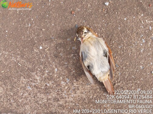
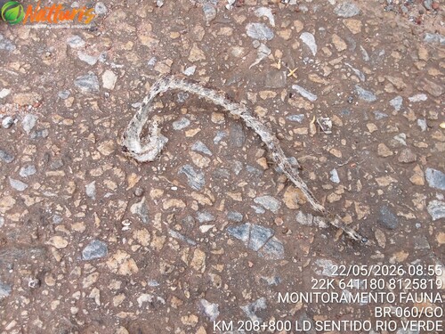

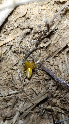
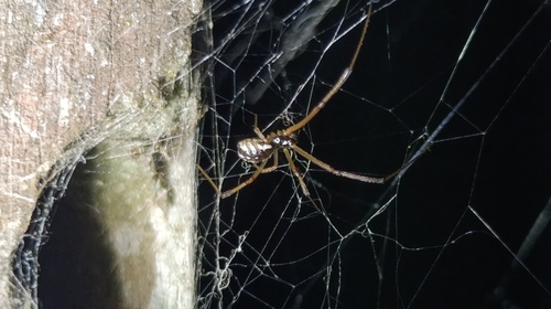
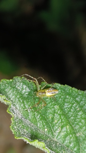

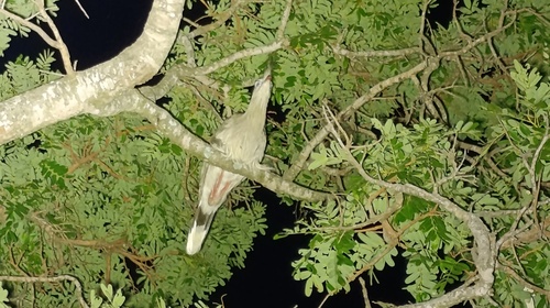
Research-grade observations from iNaturalist (within ~15 mi).
Events
Gallery
Geotagged photos within ~6 miles of Guapó, from Wikimedia Commons contributors.


Photos via Wikimedia Commons — see each image page for license & attribution.
Official Identifiers
IBGE — Brazilian Institute of Geography and Statistics
- IBGE code
- 5209200
- UF
- GO
- Mesorregião
- Centro Goiano
- Microrregião
- Goiânia
servicodados.ibge.gov.br
Sources
- • Wikipedia
- • Wikimedia Commons
- • Wikidata
- • Open-Meteo Air Quality (CAMS)
- • USGS Earthquake Catalog (global feed)
- • GBIF (Global Biodiversity Information Facility)
- • iNaturalist
- • Open-Meteo / sunrise-sunset.org
- • Wikipedia Pageviews API
- • IBGE — Brazilian national statistics, via servicodados.ibge.gov.br (official municipal code, UF, mesorregião, microrregião, region)
- • IBGE — Brazilian Institute of Geography and Statistics — servicodados.ibge.gov.br