Browse / Botswana / Kweneng / Mmanoko
Mmanoko
Kwenengvillage
Air quality index
Demographic figures from Statistics Botswana. Overview below cites Wikipedia and may reference a different year.
City facts
Facts from Wikidata (CC0).
Overview
Mmanoko is a village in Kweneng District of Botswana. It is located 31 km north-east of the capital of Botswana, Gaborone, along the Gaborone–Molepolole road. The population was 763 in 2001 census.
Read more on WikipediaHistory & geography
Geography
Coordinates & boundaries from the US Census TIGER/Line shapefiles.
Climate
Air quality
Current readings from Open-Meteo Air Quality API (Copernicus CAMS European reanalysis).
Walkability
Amenities nearby
Wildlife & biodiversity
Most-observed species
- White-browed Sparrow-WeaverPlocepasser mahali A.Smith, 1836 · Aves102
- Ring-necked DoveStreptopelia capicola (Sundevall, 1857) · Aves95
- Mariqua FlycatcherBradornis mariquensis A.Smith, 1847 · Aves87
- Laughing DoveSpilopelia senegalensis (Linnaeus, 1766) · Aves87
- Chinspot BatisBatis molitor (Kuster, 1836) · Aves86
- Black-chested PriniaPrinia flavicans (Vieillot, 1821) · Aves85
- Fork-tailed DrongoDicrurus adsimilis (Bechstein, 1794) · Aves85
- Pied CrowCorvus albus Statius Muller, 1776 · Aves82
Citizen-science & research observations from the Global Biodiversity Information Facility (GBIF).
Earthquake history
Most recent
- M 3.6 — 2020-12-2020 km ESE of Gaborone, Botswana
Events from the USGS Earthquake Catalog (global) (FDSN Event Web Service).
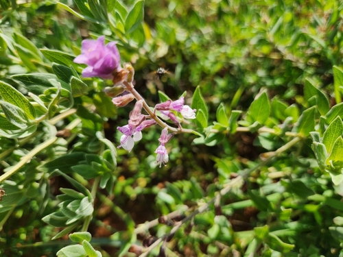
Photos
Sights & places nearby
Notable people from here
Nearby places in Kweneng
- Gamodubu3.1 mi away
- Gakgatla5.5 mi away
- Gakuto7.8 mi away
- Seherelela8.3 mi away
- Metsimotlhabe10.4 mi away · pop. 8,081
- Molepolole10.7 mi away · pop. 67,598
- Ditshukudu11.7 mi away
- Kumakwane12.5 mi away · pop. 5,545
- Mmatseta12.6 mi away
- Mogonono13.5 mi away
- Kopong14.4 mi away · pop. 9,520
- Mmopane14.5 mi away · pop. 14,655
Geography & sun
Elevation, sunrise/sunset and daylight from Open-Meteo. Solar climatology from NASA POWER.
Nearby airports
Public attention
Pageview totals from the Wikimedia Pageviews API.
Books about Mmanoko
Search results from Open Library.
Recent natural events nearby
Ground air-quality sensors
Recently spotted species
Research-grade observations from iNaturalist (within ~15 mi).
Events
Gallery
Sources
- • Wikipedia
- • Wikidata
- • Open-Meteo Air Quality (CAMS)
- • USGS Earthquake Catalog (global feed)
- • GBIF (Global Biodiversity Information Facility)
- • iNaturalist
- • Open-Elevation
- • Open-Meteo / sunrise-sunset.org
- • Wikipedia Pageviews API
- • Open Library
- • Wikidata SPARQL (CC0) — population, area, elevation, inception, head of government, Commons image