Browse / Botswana / Kweneng / Molepolole
Molepolole
Kwenengtown

Molepolole
Total population
67,598
Founded
1937
Demographic figures from Statistics Botswana. Overview below cites Wikipedia and may reference a different year.
City facts
Facts from Wikidata (CC0).
Overview
Molepolole is a large village in Kweneng District, Botswana.
Read more on WikipediaHistory & geography
History
Ntsweng was the capital of Bakwena before they moved to Molepolole. Ntsweng is a historic site located a few kilometers southeast of Molepolole. The area was first occupied by Bakwena, led by Sechele I (ruled 1829–92), in 1864. It was abandoned in 1937 when Bakwena were forced to move to Molepolole by Kgari II, assisted by the colonial administrators. Ntsweng today consists of a large area covered with traces of occupation. Most notable are the patterns of stones laid on their edges that form house foundations which are still visible on the surface. There are also the ruins of what used to be Sebele II's office which is at present referred to as Mmakgosi's house. The ruins of that building are situated next to an area which used to be the royal kraal at Ntsweng but is now the royal cemetery. Several clusters of ruins seem to represent different wards. Analyses of the settlement layout and soil samples suggest cattle were often kept in the center of each ward. This seems to follow the "central cattle pattern", a conceptual model for the organization of settlements among southern Bantu, where the central placement of the kraal reflects the central role of cattle in the culture and ideology of the people.
Excerpted from the corresponding Wikipedia article (CC BY-SA).
Geography
Coordinates & boundaries from the US Census TIGER/Line shapefiles.
Climate
Air quality
Walkability
Amenities nearby
Wildlife & biodiversity
Earthquake history
Photos
Sights & places nearby
Notable people from here
Nearby places in Kweneng
Geography & sun
Elevation, sunrise/sunset and daylight from Open-Meteo. Solar climatology from NASA POWER.
Nearby airports
Public attention
Pageview totals from the Wikimedia Pageviews API.
Books about this place
Recent natural events nearby
Ground air-quality sensors
Recently spotted species
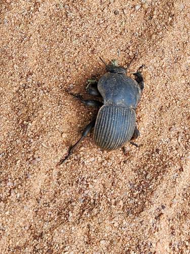
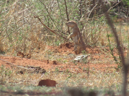
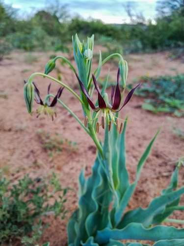
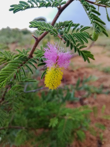
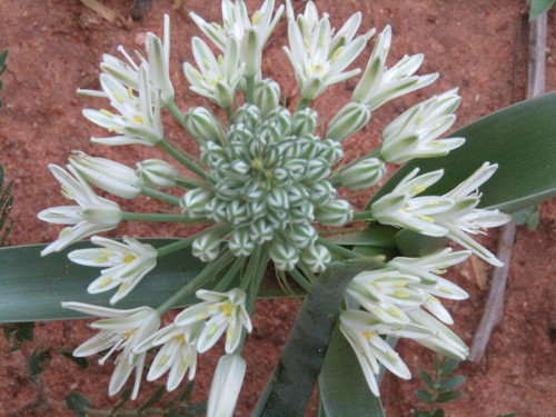
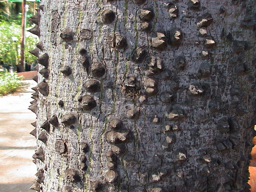
Research-grade observations from iNaturalist (within ~15 mi).
Events
Gallery
Sources
- • Wikipedia
- • Wikidata
- • iNaturalist
- • Open-Meteo / sunrise-sunset.org
- • Wikipedia Pageviews API
- • Wikidata SPARQL (CC0) — population, area, elevation, inception, head of government, Commons image