Browse / Botswana / Central / Serowe
Serowe
Centralcity

Serowe
Total population
47,447
Founded
1903
Demographic figures from Statistics Botswana. Overview below cites Wikipedia and may reference a different year.
City facts
Facts from Wikidata (CC0).
Overview
Serowe is an urban village in Botswana's Central District. A trade and commercial centre, it is Botswana's third largest village. Serowe has played an important role in Botswana's history, as capital for the Bamangwato people in the early 20th century and as birthplace of several of Botswana's presidents. More recently it has undergone significant development as the town and as Botswana continues to grow.
Read more on WikipediaHistory & geography
History
Serowe has a memorial to Khama III, chief of the Bamangwato people in the late 19th-early 20th century, who in 1902 founded the town as a new capital of the Bamangwato. They called the area Serowa after the bulb plant they found in the area, which was indicative of water. However, the name Serowe stuck because British settlers misspelt it, and the people agreed to keep it. The word Serowe does not exist in Setswana. It is also the birthplace of Seretse Khama, Botswana's first president, and the traditional center of the Bamangwato tribe. Swaneng Hill School was the first of the Brigades Movement schools founded by educationalist Patrick van Rensburg.
Geography
Serowe is located in a fertile area, well-watered by the Lotsane River. It lies west of the Gaborone–Francistown road, from which it is easily reached. It also marks the beginning of the Serowe-Orapa road, which ends at the diamond mines of Orapa. Construction of this road began in 1986 and was completed several years later. There are two hills at Swaneng, called Rra-Swaneng and Mma-Swaneng – Father- and Mother-Swaneng – respectively. Notable features of the local area include a Botswana Defence Force (BDF) base at Paje and the Khama Rhino Sanctuary on the road to Orapa. The Rhino Sanctuary is a charitable game reserve, 25 km north of Serowe, established in 1992 by the local Ballentine and Watson families and Ian Khama (the former president). Its 4,300 hectares of Kalahari sandveld were established as a haven for black and white rhinoceroses.
Excerpted from the corresponding Wikipedia article (CC BY-SA).
Geography
Coordinates & boundaries from the US Census TIGER/Line shapefiles.
Climate
Air quality
Walkability
Amenities nearby
Wildlife & biodiversity
Earthquake history
Photos
Sights & places nearby
Notable people from here


People born within ~10 km, from Wikidata (CC0). Click any name for their Wikipedia article.
Nearby places in Central
Geography & sun
Elevation, sunrise/sunset and daylight from Open-Meteo. Solar climatology from NASA POWER.
Nearby airports
Public attention
Pageview totals from the Wikimedia Pageviews API.
Books about Serowe
Search results from Open Library.
Recent natural events nearby
Ground air-quality sensors
Recently spotted species
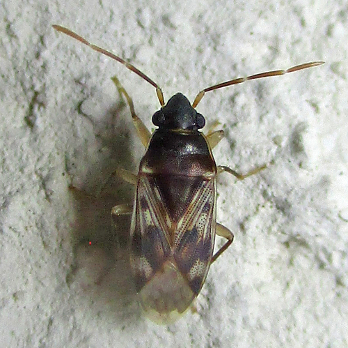
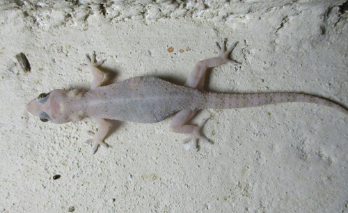
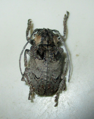
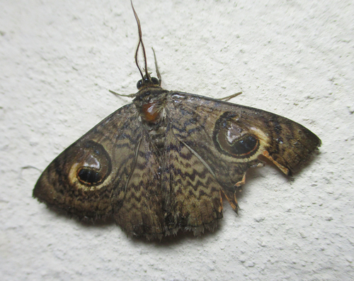
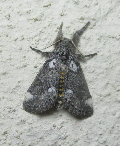
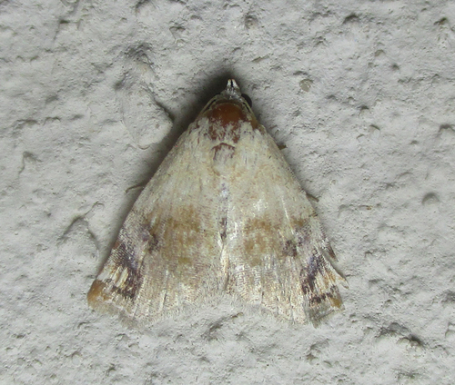
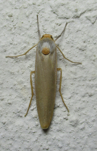
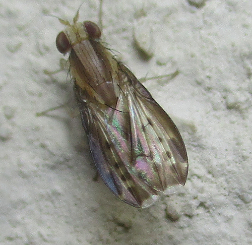
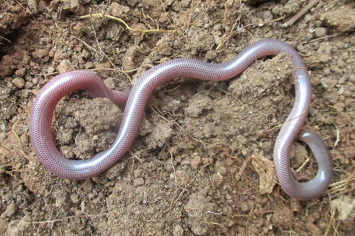
Research-grade observations from iNaturalist (within ~15 mi).
Events
Gallery
Sources
- • Wikipedia
- • Wikidata
- • iNaturalist
- • Open-Meteo / sunrise-sunset.org
- • Wikipedia Pageviews API
- • Open Library
- • Wikidata SPARQL (CC0) — population, area, elevation, inception, head of government, Commons image