Browse / Canada / Saskatchewan / Abbey
Abbey
Saskatchewanvillage
Total population
100
Founded
1913
Demographic figures from Statistics Canada. Overview below cites Wikipedia and may reference a different year.
City facts
Facts from Wikidata (CC0).
Overview
Abbey is a village in the Canadian province of Saskatchewan within the Rural Municipality of Miry Creek No. 229 and Census Division No. 8. This village is in the south-western region of the province, north-west of the city of Swift Current. Abbey is serviced by Highway 32 near Highway 738.
Read more on WikipediaHistory & geography
History
In 1910, the first post office used by area residents was Longworth, located in the home of Cassie Baldwin. The townsite of Abbey was originally owned by a man named D.F. Kennedy. In 1913, the Canadian Pacific Railway (CPR) bought a quarter section of land from him to build a rail line. Abbey incorporated as a village on September 2, 1913. Abbey has one municipal heritage property on the Canadian Register of Historic Places, the Abbey Fire Hall. Constructed in 1919 in response to a large fire that threatened the community in September 1918, the fire station was part of an upgrade to fire protection in Abbey. The station remained in service until a new fire station was constructed in 1975. The station is currently not in use, however the siren on the station tower is still used to signal emergencies in the community.
Geography
Abbey is located south of the South Saskatchewan River and north of the Great Sand Hills Abbey experiences a semi-arid climate (Köppen climate classification BSk) with long, cold, dry winters and short, warm summers. Precipitation is low, with an annual average of , and is concentrated in the warmer months.
Excerpted from the corresponding Wikipedia article (CC BY-SA).
Geography
Coordinates & boundaries from the US Census TIGER/Line shapefiles.
Climate
Air quality
Walkability
Amenities nearby
Wildlife & biodiversity
Earthquake history
Photos
Sights & places nearby
Notable people from here
Nearby places in Saskatchewan
- Big River208.2 mi away
- Sturgeon Lake214.7 mi away
- Four Corners238.1 mi away
- Petrykozy4783.2 mi away
- Turowice4783.8 mi away · pop. 360
- Kamienna Wola4783.8 mi away · pop. 330
- Giełzów4783.8 mi away · pop. 400
- Rudzisko4784.1 mi away · pop. 55
- Bernów4784.4 mi away · pop. 160
- Skrzyszów4784.7 mi away · pop. 200
- Kurzacze4784.9 mi away
- Bulianów4784.9 mi away · pop. 71
Geography & sun
Elevation, sunrise/sunset and daylight from Open-Meteo. Solar climatology from NASA POWER.
Nearby airports
Public attention
Pageview totals from the Wikimedia Pageviews API.
Books about Abbey

Search results from Open Library.
Recent natural events nearby
- Wildfire Middle Coulee, Chouteau, MontanaWildfires · 2026-08-02 · 231 mi
Wildfires, storms and other events from NASA EONET (last 12 months, within 250 mi).
Ground air-quality sensors
Recently spotted species
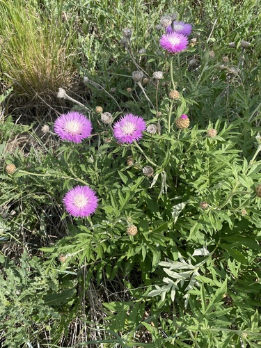

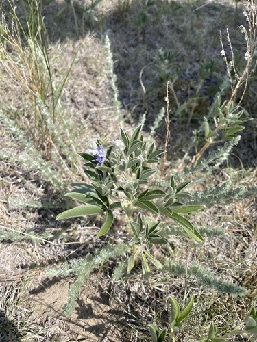


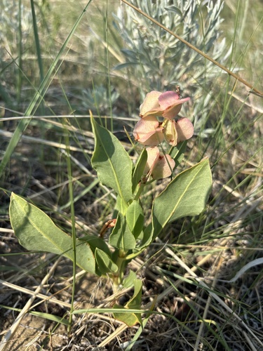
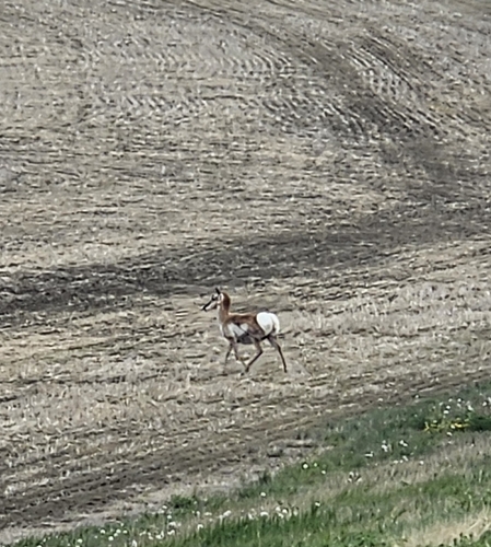
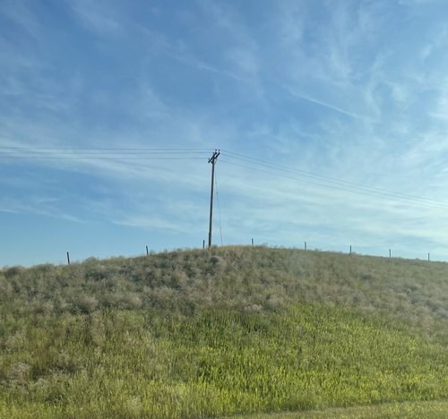
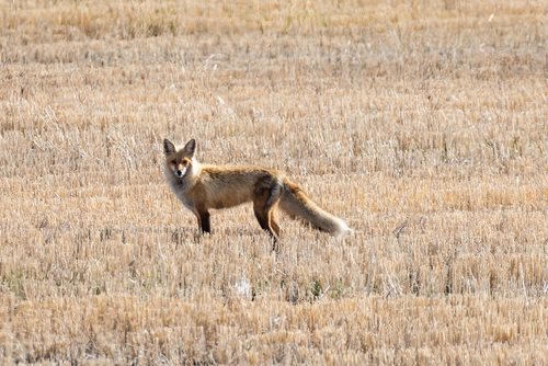
Research-grade observations from iNaturalist (within ~15 mi).
Events
Gallery
Official Identifiers
StatCan — Statistics Canada
- SGC code
- 4708048
- Wikidata
- Q1997661
Standard Geographical Classification (SGC) via Wikidata P3012
Sources
- • Wikipedia
- • Wikidata
- • iNaturalist
- • Open-Meteo / sunrise-sunset.org
- • Wikipedia Pageviews API
- • Open Library
- • NASA EONET
- • StatCan — Statistics Canada — Standard Geographical Classification (SGC) via Wikidata P3012