Browse / Canada / British Columbia / Ahousaht
Ahousaht
British Columbiahamlet
No image yet
Coordinates49.28°, -126.06°
Demographic figures from Statistics Canada. Overview below cites Wikipedia and may reference a different year.
Loading additional data from public sources…0 / 11
CensusWikipediaWeatherPlacesPeopleEnvironmentHealth & SchoolsRelatedGeography & CultureLive MonitoringEvents & Gallery
0% completeCity facts
Overview
Ahousaht, also spelled Ahousat, is the principal settlement on Flores Island, in British Columbia, Canada. Accessible only by water or air, Ahousaht is a small community predominantly composed of Nuu-chah-nulth First Nation people.
Read more on WikipediaHistory & geography
Geography
Latitude
49.2760
Longitude
-126.0592
Water area
—
Coordinates & boundaries from the US Census TIGER/Line shapefiles.
Climate
Air quality
Walkability
Amenities nearby
Wildlife & biodiversity
Earthquake history
Photos
Sights & places nearby
Notable people from here
Nearby places in British Columbia
Geography & sun
Nearby airports
Public attention
Books about this place
Recent natural events nearby
- Wildfire Electric, Whatcom, WashingtonWildfires · 2026-08-22 · 214 mi
- Wildfire Thunder Creek, Skagit, WashingtonWildfires · 2026-08-22 · 234 mi
- Wildfire SISI, Chelan, WashingtonWildfires · 2026-08-14 · 246 mi
Wildfires, storms and other events from NASA EONET (last 12 months, within 250 mi).
Ground air-quality sensors
Recently spotted species
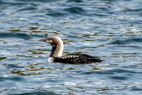
Pacific Loon
Gavia pacifica
Seen 2026-09-22
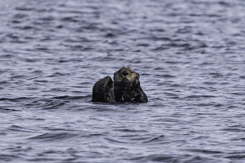
Northern Sea Otter
Enhydra lutris kenyoni
Seen 2026-09-21
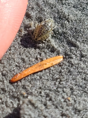
Sand Piranha
Excirolana chiltoni
Seen 2026-09-17
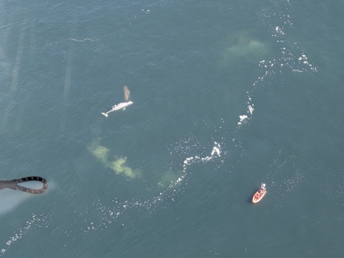
Grey Whale
Eschrichtius robustus
Seen 2026-09-17
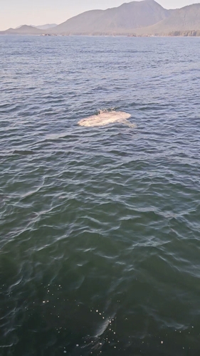
Common Mola
Mola mola
Seen 2026-09-16
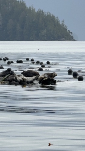
Pacific Harbor Seal
Phoca vitulina richardii
Seen 2026-09-14
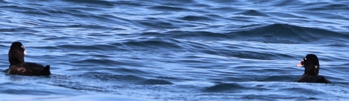
Surf Scoter
Melanitta perspicillata
Seen 2026-09-08
Research-grade observations from iNaturalist (within ~15 mi).
Events
Gallery
Sources
- • Wikipedia
- • Wikidata
- • iNaturalist
- • NASA EONET