Browse / United States / California / Albany
Albany
Californiacity

Albany
Total population
19,414
Median home value
$1,202,200
Bachelor's+
Median income
$144,107
Demographic figures from US Census Bureau · ACS 5-year estimates. Overview below cites Wikipedia and may reference a different year.
City facts
Facts from Wikidata (CC0).
Overview
Albany is a city on the east shore of San Francisco Bay in northwestern Alameda County, California, United States. The population was 20,271 at the 2020 United States census.
Read more on WikipediaHistory & geography
History
The first known residents were the Ohlone before Spanish settlement in the early 19th century. In 1908, a group of local women protested the dumping of Berkeley garbage in their community. Armed with two shotguns and a twenty-two-caliber rifle, they confronted the drivers of the wagons near what is now the corner of San Pablo Avenue and Buchanan Street. The women told the drivers of the horse-drawn garbage wagons to go home, which they did quickly and without complaint. Shortly thereafter, the residents of the town voted to incorporate as the City of Ocean View. In 1909, voters changed the name of the city, primarily to distinguish the city from the adjacent section of Berkeley which had previously been named Ocean View. On a vote of 38 to 6 The Albany Sauna is one of the oldest Finnish-style saunas open to the public in North America. Built in 1934 by Finnish-American Henry Walter Lundgren (a founding member of the Finnish Lodge in West Berkeley), the original furnace and rooms have been maintained. Albany has a history of real estate discrimination, which made it difficult for non-white buyers to acquire property and build or rent homes in Albany.
Geography
According to the United States Census Bureau, the city has a total area of , of which is land and (67.28%) is water. The principal shopping street in Albany is Solano Avenue, which cuts across the city from west to east. Another important street is San Pablo Avenue, which travels from north to south. Albany is a small city located on the eastern shore of San Francisco Bay, bordering the city of Berkeley to the south and east, and the Contra Costa County cities of El Cerrito and Richmond to the north. Albany's northern and southern borders are defined by two creeks, Codornices Creek on the south and Cerrito Creek on the north. Cerrito Creek takes its name from "El Cerrito de San Antonio," now known as Albany Hill. The hill's unusual location near the bay shore makes it a prominent landmark in the East Bay. The rest of the city is relatively flat by Bay Area standards, except for a small area near the base of the Berkeley Hills. Albany's waterfront has undergone significant man-made changes; the most prominent landform is now the Albany Bulb, a former garbage landfill jutting out into San Francisco Bay. The bulb was the site of a small art colony and shanty town until it was cleared to turn the area into part of the new Eastshore State Park. University Village, a housing unit of the University of California Berkeley, is located in Albany.
Excerpted from the corresponding Wikipedia article (CC BY-SA).
Demographics & economy
Race & ethnicity
Source: US Census Bureau — American Community Survey, 5-year estimates.
Geography
Coordinates & boundaries from the US Census TIGER/Line shapefiles.
Climate
Current forecast
Forecast for Albany, CA from NOAA NWS API.
Air quality
Industrial & pollution facilities
Natural hazard risk
Health (adults)
Age-adjusted prevalence estimates from CDC PLACES (latest release).
Walkability
Amenities nearby
Wildlife & biodiversity
Schools
Largest nearby schools
- Berkeley HighHigh · Berkeley · 3,204 students · 17.9:1 ratio
- Alameda HighHigh · Alameda · 1,802 students · 24:1 ratio
- Oakland Technical HighHigh · Oakland · 1,796 students · 18.1:1 ratio
- Oakland HighHigh · Oakland · 1,531 students · 17.6:1 ratio
- Encinal Junior/Senior HighHigh · Alameda · 1,158 students · 22.7:1 ratio
- Albany HighHigh · Albany · 1,151 students · 18.3:1 ratio
- Martin Luther King MiddleMiddle · Berkeley · 871 students · 17.8:1 ratio
- Albany MiddleMiddle · Albany · 781 students · 19.5:1 ratio
Public K–12 schools within ~10 mi from Urban Institute Education Data Portal (NCES Common Core of Data, 2022).
Earthquake history
Photos
Sights & places nearby
Notable people from here


People born within ~10 km, from Wikidata (CC0). Click any name for their Wikipedia article.
Nearby places in California
Geography & sun
Elevation, sunrise/sunset and daylight from Open-Meteo. Solar climatology from NASA POWER.
Nearby airports
Public attention
Pageview totals from the Wikimedia Pageviews API.
Books about Albany


Search results from Open Library.
Recent natural events nearby
- Wildfire GANN, Calaveras, CaliforniaWildfires · 2026-08-03 · 85 mi
- Wildfire FELIZ, Mendocino, CaliforniaWildfires · 2026-08-01 · 89 mi
- Wildfire LUCAS, Lake, CaliforniaWildfires · 2026-09-10 · 100 mi
- Wildfire LUCAS, Lake, CaliforniaWildfires · 2026-09-10 · 100 mi
- Wildfire Timber, Monterey, CaliforniaWildfires · 2026-08-09 · 120 mi
- Wildfire Plaskett, Monterey, CaliforniaWildfires · 2026-08-26 · 146 mi
- Wildfire DOME, Mariposa, CaliforniaWildfires · 2026-09-15 · 149 mi
- Wildfire FLORISTON, Nevada, CaliforniaWildfires · 2026-09-16 · 162 mi
Wildfires, storms and other events from NASA EONET (last 12 months, within 250 mi).
Ground air-quality sensors
Recently spotted species
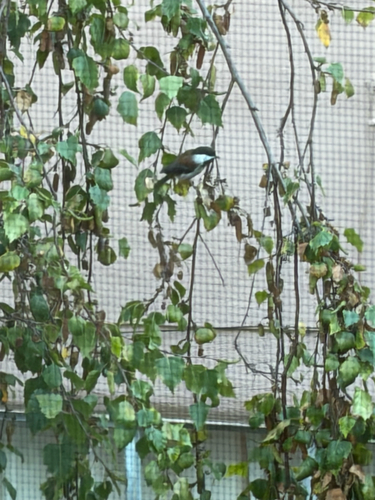
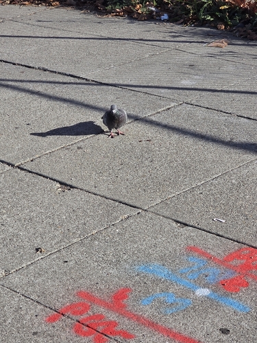
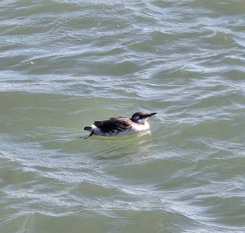
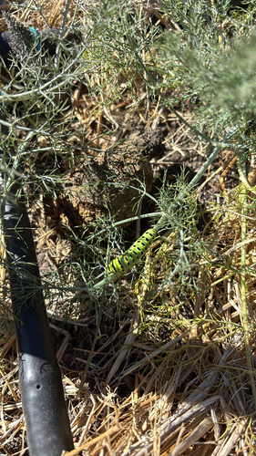
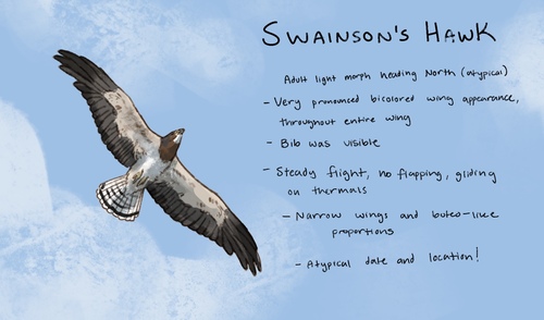
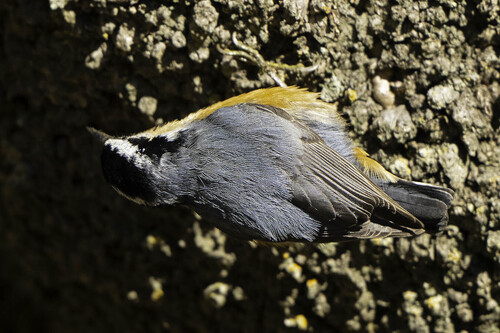
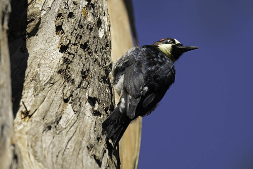
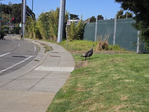
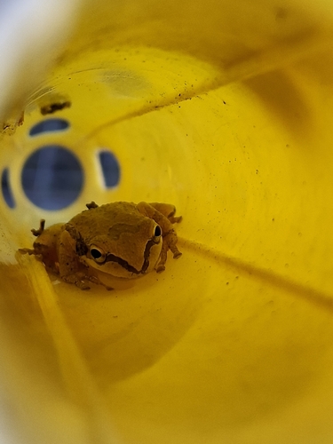
Research-grade observations from iNaturalist (within ~15 mi).
Nearest stream gauge
Events
Gallery
Sources
- • Wikipedia
- • US Census Bureau (ACS 5-year estimates)
- • NOAA National Weather Service
- • Wikidata
- • NCES via Urban Institute Education Data Portal
- • iNaturalist
- • CDC PLACES
- • Open-Meteo / sunrise-sunset.org
- • Wikipedia Pageviews API
- • Open Library
- • NASA EONET