Browse / Canada / Alberta / Anzac
Anzac
Albertahamlet

Anzac
Total population
548
Founded
1979
Demographic figures from Statistics Canada. Overview below cites Wikipedia and may reference a different year.
City facts
Facts from Wikidata (CC0).
Overview
Anzac is a hamlet in northern Alberta, Canada within the Regional Municipality (RM) of Wood Buffalo. It is located on Highway 881 along the east shore of Gregoire Lake, approximately 36 kilometres (22 mi) southeast of Fort McMurray.
Read more on WikipediaHistory & geography
History
Anzac was named for the Australian and New Zealand Army Corps during World War I, when the Alberta and Great Waterways Railway was being built from Carbondale to Waterways. Originally named after Willow Lake, the previous name of Gregoire Lake, the community were mostly non-status or non-treaty Cree whose ancestors had migrated to the Athabasca Basin area from what was to become northern Manitoba, mostly displacing the original Beaver and Chipewyan occupants of the area. During World War II a road was built from the rail siding to service and construct a US Army base on Stoney Mountain. The area has seen significant growth corresponding to that of Fort McMurray and the oil industry. The hamlet was ordered to be evacuated on May 5, 2016, due to the spread of the 2016 Fort McMurray wildfire.
Excerpted from the corresponding Wikipedia article (CC BY-SA).
Geography
Coordinates & boundaries from the US Census TIGER/Line shapefiles.
Climate
Air quality
Walkability
Amenities nearby
Wildlife & biodiversity
Most-observed species
- Common GoldeneyeBucephala clangula (Linnaeus, 1758) · Aves412
- Common RavenCorvus corax Linnaeus, 1758 · Aves354
- White-throated SparrowZonotrichia albicollis (J.F.Gmelin, 1789) · Aves285
- Common LoonGavia immer (Brunnich, 1764) · Aves276
- BuffleheadBucephala albeola (Linnaeus, 1758) · Aves266
- Black-billed MagpiePica hudsonia (Sabine, 1823) · Aves246
- American RobinTurdus migratorius Linnaeus, 1766 · Aves244
- Canada Goose (canadensis Group)Branta canadensis (Linnaeus, 1758) · Aves207
Citizen-science & research observations from the Global Biodiversity Information Facility (GBIF).
Earthquake history
Events from the USGS Earthquake Catalog (global) (FDSN Event Web Service).
Photos
Sights & places nearby
Notable people from here
Nearby places in Alberta
- Clearwater Camp13.1 mi away
- Janvier South42.3 mi away · pop. 100
- Amesbury110.2 mi away
- Wabasca-Desmarais112.2 mi away
- Sarrail133.2 mi away
- Rich Lake136.1 mi away
- Donatville136.3 mi away
- Deep Creek Hutterite Colony136.9 mi away
- Chipewyan Camp - 201C137.1 mi away
- Boyle145.9 mi away
- Beaver River147.1 mi away
- Athabasca148.1 mi away · pop. 2,965
Geography & sun
Elevation, sunrise/sunset and daylight from Open-Meteo. Solar climatology from NASA POWER.
Nearby airports
Public attention
Pageview totals from the Wikimedia Pageviews API.
Books about Anzac
Search results from Open Library.
Recent natural events nearby
Ground air-quality sensors
Recently spotted species
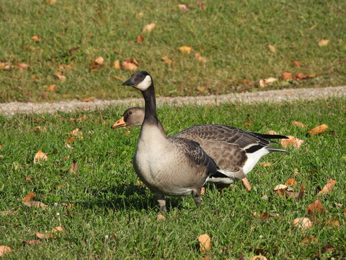
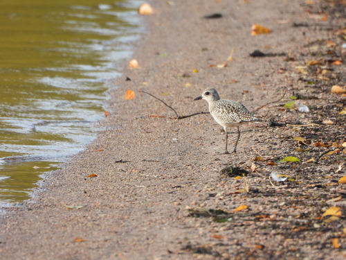
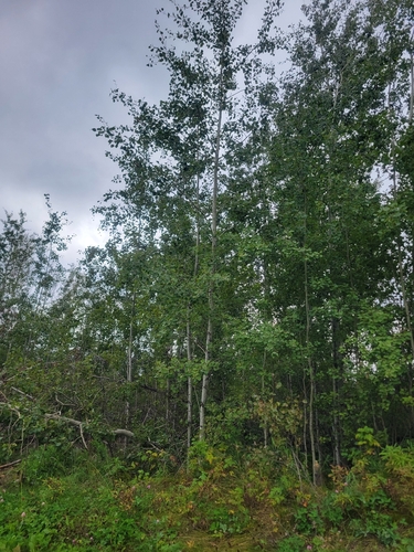
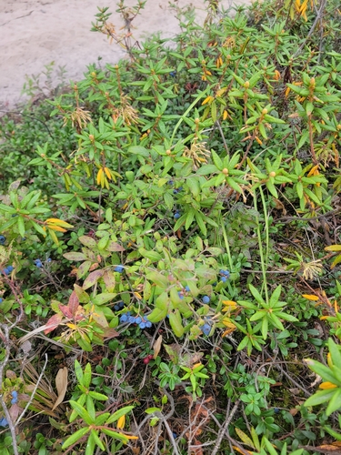
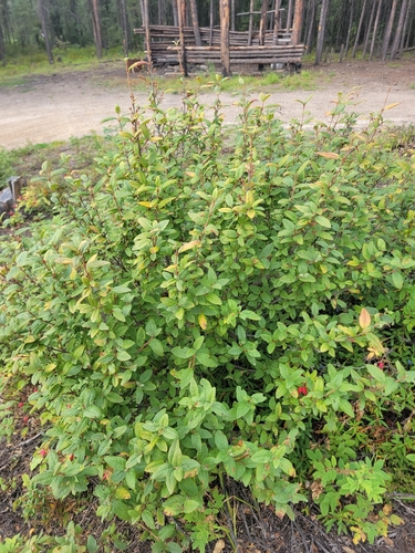
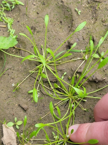
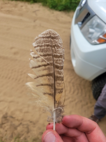
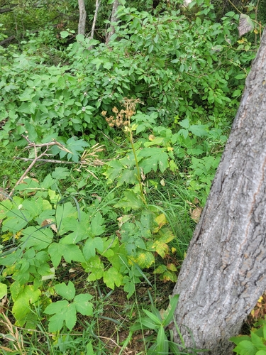
Research-grade observations from iNaturalist (within ~15 mi).
Events
Gallery
Sources
- • Wikipedia
- • Wikidata
- • USGS Earthquake Catalog (global feed)
- • GBIF (Global Biodiversity Information Facility)
- • iNaturalist
- • Open-Meteo / sunrise-sunset.org
- • Wikipedia Pageviews API
- • Open Library