Browse / United States / California / Ashland
Ashland
CaliforniaCDP

Ashland
Total population
22,210
Median home value
$775,800
Bachelor's+
Median income
$81,702
Demographic figures from US Census Bureau · ACS 5-year estimates. Overview below cites Wikipedia and may reference a different year.
- Coastal Flood Advisory · MinorCoastal Flood Advisory issued October 1 at 12:20PM PDT until October 2 at 6:00PM PDT by NWS San Francisco CA
- Heat Advisory · ModerateHeat Advisory issued October 1 at 9:43AM PDT until October 4 at 10:00PM PDT by NWS San Francisco CA
Source: NOAA National Weather Service.
City facts
Facts from Wikidata (CC0).
Overview
Ashland is a census-designated place (CDP) and unincorporated community in Alameda County, California, United States. The population was 23,823 at the 2020 census. Ashland is located in the historic Eden Township between the city of San Leandro to the north, the unincorporated community of Cherryland to the south, the unincorporated community of Castro Valley to the east, and the unincorporated community of San Lorenzo to the southwest.
Read more on WikipediaHistory & geography
History
Construction of the Oakland, San Leandro and Haywards Electric Railway began in 1891. By 1892, of track ran along what was then known as County Road, today's East 14th Street/Mission Boulevard between Hayward and Oakland. Electric train cars ran every half hour from 5 a.m. until midnight daily. Side feeder lines ran from Ashland Junction (near 150th St. and East 14th St.) along Telegraph, what today is known as Hesperian Boulevard, and along Ashland Avenue to Lewelling Boulevard. Over time, the value of agricultural products, for which the area was famous, declined, and the value of real estate rose. Ashland's urban/suburban character developed when farmlands and orchards were subdivided into town lots of about one acre each. New communities and subdivisions sprang up along the rail line including Ashland and Hayward's Park Homestead (between Foothill Boulevard and Mission Boulevard, bordered by Mattox Road and Grove Way). San Lorenzo Grove, an eight-acre natural park located on today's Tracy Street, became a popular recreation destination for the region's community. The park was owned by the Oakland-San Leandro-Hayward Electric Railway and included a dance pavilion, picnic grounds, playing fields, concession area, and an outdoor bandstand. The park operated until 1917, when it was converted to apricot orchards then, into single-family residential subdivisions. World War II brought a large number of new people to unincorporated Alameda County, and after the war, large-scale "cookie-cutter" housing subdivisions replaced most of the remaining agriculture, nurseries, and greenhouses. Ashland's primary residential development took place during the post-war period, and after the closing of the Oakland-San Leandro-Hayward Electric Railway, Ashland remains mostly…
Geography
According to the United States Census Bureau, the CDP has a total area of , all land, and sits at an elevation of above sea level.
Excerpted from the corresponding Wikipedia article (CC BY-SA).
Demographics & economy
Race & ethnicity
Source: US Census Bureau — American Community Survey, 5-year estimates.
Geography
Coordinates & boundaries from the US Census TIGER/Line shapefiles.
Climate
Current forecast
Forecast for Ashland, CA from NOAA NWS API.
Air quality
Industrial & pollution facilities
Natural hazard risk
Health (adults)
Age-adjusted prevalence estimates from CDC PLACES (latest release).
Walkability
Amenities nearby
Wildlife & biodiversity
Schools
Largest nearby schools
- James Logan HighHigh · Union City · 3,315 students · 23.7:1 ratio
- Castro Valley HighHigh · Castro Valley · 2,799 students · 23.5:1 ratio
- San Leandro HighHigh · San Leandro · 2,566 students · 22.1:1 ratio
- Mt. Eden HighHigh · Hayward · 1,947 students · 21.4:1 ratio
- Alameda HighHigh · Alameda · 1,802 students · 24:1 ratio
- Hayward HighHigh · Hayward · 1,712 students · 21.1:1 ratio
- Arroyo HighHigh · San Lorenzo · 1,610 students · 26.4:1 ratio
- Skyline HighHigh · Oakland · 1,590 students · 17.3:1 ratio
Public K–12 schools within ~10 mi from Urban Institute Education Data Portal (NCES Common Core of Data, 2022).
Earthquake history
Photos
Sights & places nearby
Notable people from here
Nearby places in California
- Fairview4.1 mi away · pop. 10,745
- Norris Canyon7.8 mi away
- Moraga10.5 mi away
- Castle Hill12.9 mi away
- Orinda13.3 mi away
- Camino Tassajara14.3 mi away
- Burlingame15.3 mi away · pop. 31,386
- North Fair Oaks15.9 mi away
- North Gate16 mi away
- Contra Costa Centre16.4 mi away · pop. 6,893
- Millbrae17 mi away · pop. 22,689
- Emerald Lake Hills17.8 mi away
Geography & sun
Elevation, sunrise/sunset and daylight from Open-Meteo. Solar climatology from NASA POWER.
Nearby airports
Public attention
Pageview totals from the Wikimedia Pageviews API.
Books about Ashland


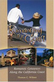

Search results from Open Library.
Recent natural events nearby
- Wildfire GANN, Calaveras, CaliforniaWildfires · 2026-08-03 · 79 mi
- Wildfire Timber, Monterey, CaliforniaWildfires · 2026-08-09 · 104 mi
- Wildfire FELIZ, Mendocino, CaliforniaWildfires · 2026-08-01 · 106 mi
- Wildfire LUCAS, Lake, CaliforniaWildfires · 2026-09-10 · 117 mi
- Wildfire LUCAS, Lake, CaliforniaWildfires · 2026-09-10 · 117 mi
- Wildfire Plaskett, Monterey, CaliforniaWildfires · 2026-08-26 · 130 mi
- Wildfire DOME, Mariposa, CaliforniaWildfires · 2026-09-15 · 137 mi
- Wildfire FLORISTON, Nevada, CaliforniaWildfires · 2026-09-16 · 163 mi
Wildfires, storms and other events from NASA EONET (last 12 months, within 250 mi).
Ground air-quality sensors
Recently spotted species
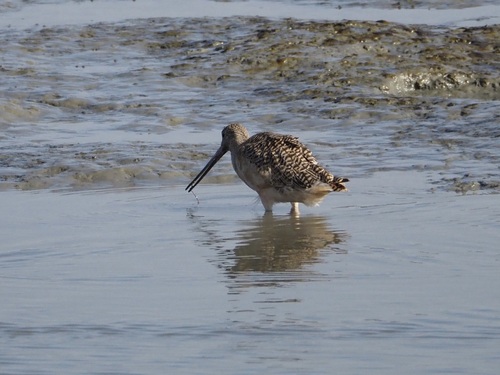

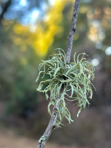

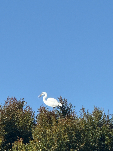
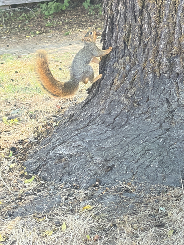
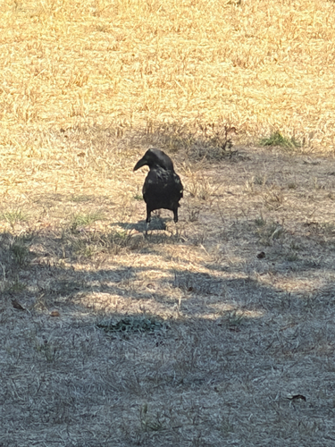
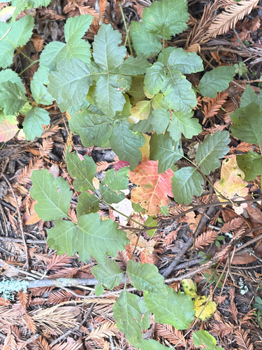
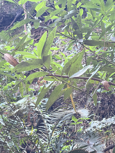
Research-grade observations from iNaturalist (within ~15 mi).
Nearest stream gauge
Events
Gallery
Sources
- • Wikipedia
- • US Census Bureau (ACS 5-year estimates)
- • NOAA National Weather Service
- • Wikidata
- • NCES via Urban Institute Education Data Portal
- • iNaturalist
- • CDC PLACES
- • Open-Meteo / sunrise-sunset.org
- • Wikipedia Pageviews API
- • Open Library
- • NASA EONET