Browse / Canada / New Brunswick / Beechwood
Beechwood
New Brunswickvillage
Air quality index
Demographic figures from Statistics Canada. Overview below cites Wikipedia and may reference a different year.
City facts
Overview
As a village in New Brunswick, Canada, Beechwood occupies its own corner of the country. No reliable population estimate is published for this entry in the open data we rely on. On the world map it falls within the Western Hemisphere, specifically at 46.543°, -67.659°. The location receives about 1,266 kWh/m² of solar irradiance per year and sunshine for roughly 50% of daylight hours. Climatically, locations at this latitude tend to experience four distinct seasons with warm summers and cold winters. Meteorological summaries report average highs near 50.4°F and lows near 34°F, together with about 48.3 in of annual precipitation (a wet total). Continue scrolling for population, climate, environmental and points-of-interest data drawn from public sources.
Summary composed automatically from structured open data on this page. See our Terms for details.
History & geography
Geography
Coordinates & boundaries from the US Census TIGER/Line shapefiles.
Climate
10-year averages from ERA5 reanalysis (Open-Meteo).
Air quality
Current readings from Open-Meteo Air Quality API (Copernicus CAMS European reanalysis).
Walkability
Amenities nearby
Wildlife & biodiversity
Most-observed species
- American CrowCorvus brachyrhynchos C.L.Brehm, 1822 · Aves1,010
- Black-capped ChickadeePoecile atricapillus (Linnaeus, 1766) · Aves847
- Song SparrowMelospiza melodia (A.Wilson, 1810) · Aves801
- Canada Goose (canadensis Group)Branta canadensis (Linnaeus, 1758) · Aves799
- MallardAnas platyrhynchos Linnaeus, 1758 · Aves766
- Blue JayCyanocitta cristata (Linnaeus, 1758) · Aves750
- American GoldfinchSpinus tristis (Linnaeus, 1758) · Aves709
- American RobinTurdus migratorius Linnaeus, 1766 · Aves614
Citizen-science & research observations from the Global Biodiversity Information Facility (GBIF).
Earthquake history
Most recent
- M 2.5 — 2021-02-2180 km W of Miramichi, Canada
- M 2.7 — 2019-09-2531 km WNW of Oxbow, Maine
- M 2.5 — 2017-08-1882 km W of Miramichi, Canada
- M 2.5 — 2017-05-2983 km W of Miramichi, Canada
- M 2.5 — 2016-12-1546 km ESE of Hamlin, Maine
- M 2.6 — 2015-11-0783 km W of Miramichi, Canada
Events from the USGS Earthquake Catalog (global) (FDSN Event Web Service).
Photos
Sights & places nearby
Notable people from here
Nearby places in New Brunswick
- Upper Knoxford4.6 mi away
- Lower Knoxford5.1 mi away
- Lockharts Mill6.5 mi away
- Florenceville-Bristol6.7 mi away · pop. 2,000
- Kilburn6.8 mi away
- Gregg Settlement6.9 mi away
- Hartley Settlement7.3 mi away
- Lower Kintore8.9 mi away
- Riverbank10.4 mi away
- Oakland10.6 mi away
- Stickney11.8 mi away
- Perth-Andover13.7 mi away
Geography & sun
Elevation, sunrise/sunset and daylight from Open-Meteo. Solar climatology from NASA POWER.
Nearby airports
Public attention
Pageview totals from the Wikimedia Pageviews API.
Books about this place
Recent natural events nearby
Ground air-quality sensors
Recently spotted species
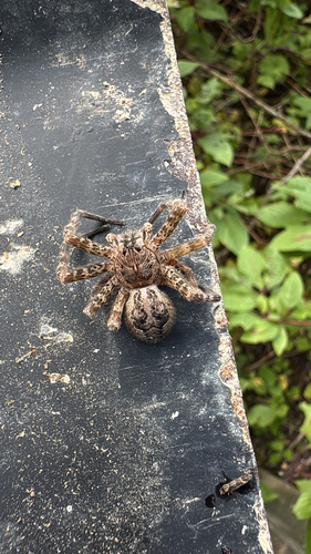
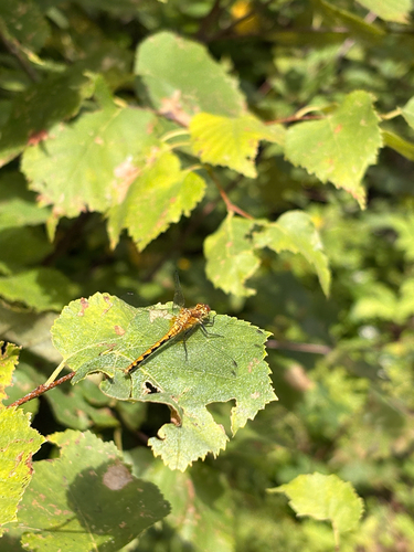
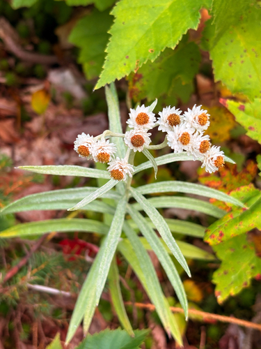
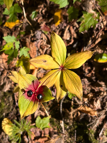
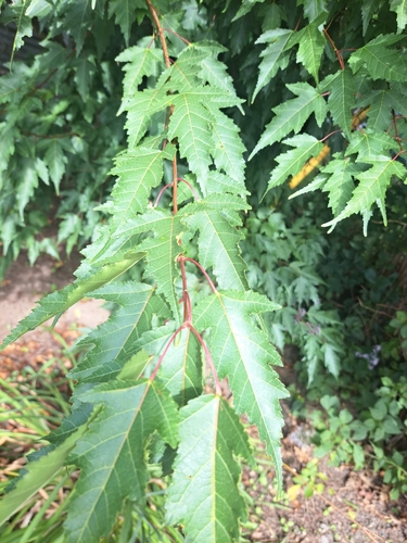
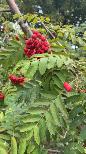
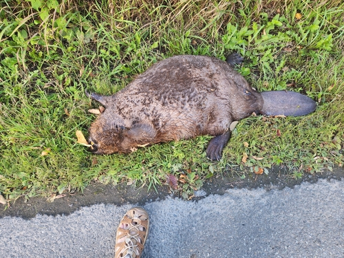
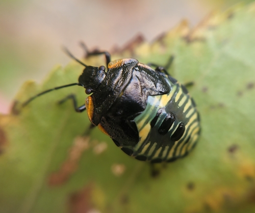
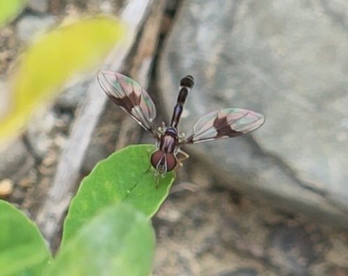
Research-grade observations from iNaturalist (within ~15 mi).
Events
Gallery
Sources
- • Open-Meteo (ERA5 reanalysis)
- • Open-Meteo Air Quality (CAMS)
- • USGS Earthquake Catalog (global feed)
- • GBIF (Global Biodiversity Information Facility)
- • iNaturalist
- • Open-Elevation
- • Open-Meteo / sunrise-sunset.org
- • Wikipedia Pageviews API