Browse / United States / California / Bodega Bay
Bodega Bay
CaliforniaCDP

Bodega Bay
Total population
1,139
Median home value
$1,294,900
Bachelor's+
Median income
$182,898
Demographic figures from US Census Bureau · ACS 5-year estimates. Overview below cites Wikipedia and may reference a different year.
City facts
Sister cities
Facts from Wikidata (CC0).
Overview
Bodega Bay is a village and census-designated place (CDP) in Sonoma County, California, United States. The population was 912 at the 2020 census. The town, located along State Route 1, is on the eastern side of Bodega Harbor, an inlet of Bodega Bay on the Pacific coast.
Read more on WikipediaHistory & geography
History
The port of Bodega was occupied for a short time, in 1793, by a Spanish garrison and four guns, which were soon removed, however, to Monterey, there being no indication of the threatened English occupation which had caused the alarm. Bodega Bay is the site of the first Russian structures built in California, which were erected in 1809 by Commerce Counseller Ivan Alexandrovich Kuskov of the Russian-American Company in the lead-up to the establishment of Fort Ross. The Russians named the Bodega Bay settlement Port Rumyantsev after the Russian Foreign Minister Nikolai Petrovich Rumyantsev, and it served as a port to support Fort Ross and the larger Russian community known as Colony Ross. The town is now named in honor of Juan Francisco de la Bodega y Quadra, a Spanish naval officer who explored the west coast of North America as far north as Alaska during multiple voyages of discovery in the late 18th century. The location scenes in the Alfred Hitchcock-directed film The Birds (1963) were filmed in both Bodega Bay and nearby Bodega (though both were represented as being parts of the film's Bodega Bay.) The town markets itself by using the film in many ways, including its Birds-themed visitors' center although none of the film's primary locations is found there. The church and the schoolhouse shown in the film are on the Bodega Highway in Bodega. The town also featured in the cult horror film Puppet Master (1989). The Pacific Gas and Electric Company (PG&E) wanted to build a nuclear power plant at Gaffney Point on Bodega Head, across the bay from the town, in the 1960s, but the plans were shut down after a large protest (the first for environmental reasons) and the geologic fault which was found while it was digging the hole for the first reactor. The hole filled with…
Geography
According to the United States Census Bureau, the CDP has a total area of , of which is land and (33.37%) is water. The town lies on the edge of Bodega Harbor. Bodega Bay itself extends south along the coast to Tomales Bay. North of town lies a long coastal exposure of alternating rock outcrops and sandy beaches which is known as Sonoma Coast State Beach. South of town, the coastline includes Doran Regional Park, Estero Americano Coast Preserve, and the Estero Americano estuary at the Sonoma–Marin county boundary.
Excerpted from the corresponding Wikipedia article (CC BY-SA).
Demographics & economy
Race & ethnicity
Source: US Census Bureau — American Community Survey, 5-year estimates.
Geography
Coordinates & boundaries from the US Census TIGER/Line shapefiles.
Climate
Current forecast
Forecast for Bodega Bay, CA from NOAA NWS API.
Air quality
Industrial & pollution facilities
Natural hazard risk
Health (adults)
Age-adjusted prevalence estimates from CDC PLACES (latest release).
Walkability
Amenities nearby
Wildlife & biodiversity
Schools
Largest nearby schools
- Salmon Creek School - A CharterMiddle · Occidental · 144 students · 18:1 ratio
- Monte Rio ElementaryElementary · Monte Rio · 59 students · 11.8:1 ratio
- Harmony ElementaryElementary · Occidental · 51 students · 17:1 ratio
- Bodega Bay ElementaryElementary · Bodega Bay · 24 students · 24:1 ratio
Public K–12 schools within ~10 mi from Urban Institute Education Data Portal (NCES Common Core of Data, 2022).
Earthquake history
Photos
Sights & places nearby
Notable people from here

People born within ~10 km, from Wikidata (CC0). Click any name for their Wikipedia article.
Nearby places in California
Geography & sun
Elevation, sunrise/sunset and daylight from Open-Meteo. Solar climatology from NASA POWER.
Nearby airports
Public attention
Pageview totals from the Wikimedia Pageviews API.
Books about Bodega Bay
Search results from Open Library.
Recent natural events nearby
- Wildfire FELIZ, Mendocino, CaliforniaWildfires · 2026-08-01 · 46 mi
- Wildfire LUCAS, Lake, CaliforniaWildfires · 2026-09-10 · 63 mi
- Wildfire LUCAS, Lake, CaliforniaWildfires · 2026-09-10 · 63 mi
- Wildfire GANN, Calaveras, CaliforniaWildfires · 2026-08-03 · 123 mi
- Wildfire Timber, Monterey, CaliforniaWildfires · 2026-08-09 · 163 mi
- Wildfire FLORISTON, Nevada, CaliforniaWildfires · 2026-09-16 · 178 mi
- Wildfire Hawk, Washoe, NevadaWildfires · 2026-08-22 · 185 mi
- Wildfire Hawk, Washoe, NevadaWildfires · 2026-08-22 · 185 mi
Wildfires, storms and other events from NASA EONET (last 12 months, within 250 mi).
Ground air-quality sensors
Recently spotted species
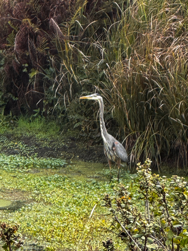
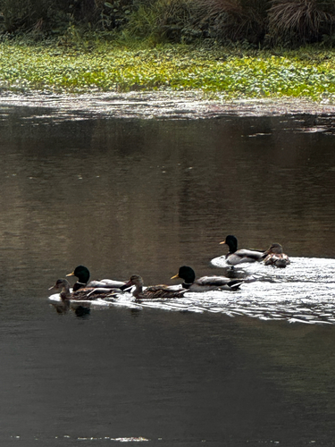
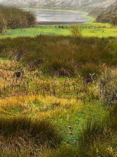
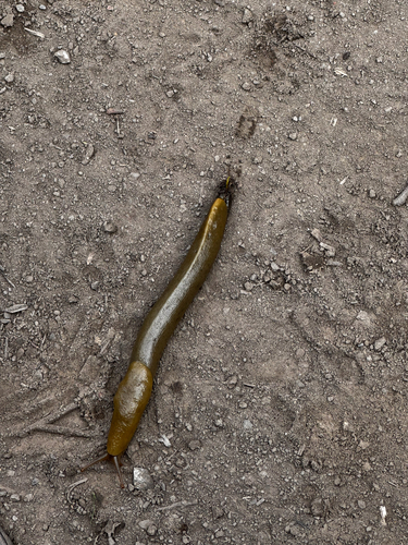
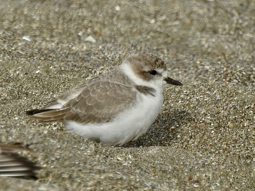
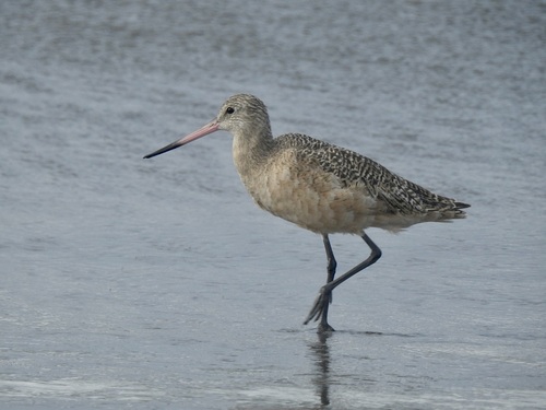
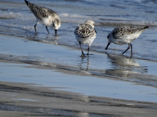
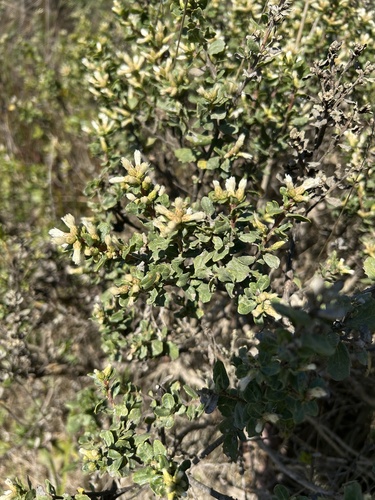
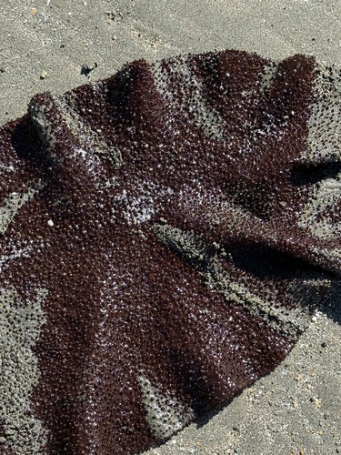
Research-grade observations from iNaturalist (within ~15 mi).
Nearest stream gauge
Events
Gallery
Sources
- • Wikipedia
- • US Census Bureau (ACS 5-year estimates)
- • NOAA National Weather Service
- • Wikidata
- • NCES via Urban Institute Education Data Portal
- • iNaturalist
- • CDC PLACES
- • Open-Meteo / sunrise-sunset.org
- • Wikipedia Pageviews API
- • Open Library
- • NASA EONET