Browse / United States / California / Bolinas
Bolinas
CaliforniaCDP

Bolinas
Total population
1,334
Median home value
$2,000,001
Bachelor's+
Median income
$100,625
Demographic figures from US Census Bureau · ACS 5-year estimates. Overview below cites Wikipedia and may reference a different year.
City facts
Overview
Bolinas is an unincorporated coastal community in Marin County, California, United States. It is located on the California coast, approximately 13 miles (21 km) northwest of San Francisco, and 27 miles (43 km) by road. For statistical purposes, the United States Census Bureau has defined the community as a census-designated place (CDP). As of the 2020 census, it had a population of 1,483.
Read more on WikipediaHistory & geography
History
Prior to the European colonization of California, the Coast Miwok lived in the area, possibly calling the area "Bali-N". Bolinas and present-day Stinson Beach were once encompassed by Rancho Las Baulines, a Mexican land grant given by Governor Pío Pico to Gregorio Briones in 1846. The first post office in the town of Bolinas opened in 1863. In 1927, a former dairy farm on the Big Mesa was subdivided into a grid of streets and 5,336 lots measuring . Many of these lots were sold for $69.50 by the San Francisco Bulletin as a subscription promotion. Portions of the mesa, including sections of Ocean Parkway, have since eroded into the sea. A few streets on the mesa are paved and maintained by the county, but many are unpaved, and either maintained by adjoining property owners or completely unmaintained. The Big Mesa doesn't have sewer system, and houses on the mesa have individual septic systems. The Bolinas beaches were hit hard by the 1971 San Francisco Bay oil spill, with the community coming together to clean the beach of crude oil. The Bolinas Museum was founded in 1983. It contains five galleries featuring contemporary art, historical information, and works from local artists.
Geography
Bolinas sits at an elevation of above sea level. to the point where county officials offered a ballot measure to which the voters responded by stating a preference for no more signs. Bolinas lies west of the San Andreas Fault, which runs the length of Bolinas Lagoon and continues northward through Olema Valley and Tomales Bay. Bolinas and the Point Reyes peninsula are on the Pacific Plate, moving north relative to Stinson Beach and the North American Plate at an average rate of approxiamtely per year. Point Reyes National Seashore borders Bolinas to the northwest. Duxbury Reef State Marine Conservation Area encompasses Bolinas' western shoreline. Bolinas experiences warm (occasionally hot) and dry summers, with some average monthly days in summer months above . According to the Köppen Climate Classification system, Bolinas has a warm-summer Mediterranean climate, abbreviated "Csb" on climate maps. Like much of the California coast, summer afternoons are often cool and windy (and sometimes foggy) as winds blow in off the ocean. It receives more rain than other coast cities in the San Francisco Bay Area in this latitude with of rain.
Excerpted from the corresponding Wikipedia article (CC BY-SA).
Demographics & economy
Race & ethnicity
Source: US Census Bureau — American Community Survey, 5-year estimates.
Geography
Coordinates & boundaries from the US Census TIGER/Line shapefiles.
Climate
Air quality
Industrial & pollution facilities
Natural hazard risk
Health (adults)
Age-adjusted prevalence estimates from CDC PLACES (latest release).
Walkability
Amenities nearby
Wildlife & biodiversity
Schools
Largest nearby schools
- Tamalpais HighHigh · Mill Valley · 1,540 students · 20.3:1 ratio
- Archie Williams HighHigh · San Anselmo · 1,224 students · 19.4:1 ratio
- Mill Valley MiddleMiddle · Mill Valley · 797 students · 16.3:1 ratio
- White Hill MiddleMiddle · Fairfax · 615 students · 17.6:1 ratio
- Anthony G. Bacich ElementaryElementary · Kentfield · 541 students · 19.3:1 ratio
- Adaline E. Kent MiddleMiddle · Kentfield · 513 students · 14.7:1 ratio
- Sun Valley ElementaryElementary · San Rafael · 473 students · 22.5:1 ratio
- Hall MiddleMiddle · Larkspur · 469 students · 18:1 ratio
Public K–12 schools within ~10 mi from Urban Institute Education Data Portal (NCES Common Core of Data, 2022).
Earthquake history
Photos
Sights & places nearby
Notable people from here


People born within ~10 km, from Wikidata (CC0). Click any name for their Wikipedia article.
Nearby places in California
- Muir Beach8 mi away
- Nicasio9.9 mi away
- Point Reyes Station12.7 mi away
- Black Point-Green Point16.9 mi away
- North Richmond18.8 mi away
- East Richmond Heights21.6 mi away
- Pinole22.1 mi away
- El Sobrante22.5 mi away
- Petaluma Center23.4 mi away
- Penngrove26.5 mi away
- Piedmont27 mi away
- Millbrae27.7 mi away · pop. 22,689
Geography & sun
Elevation, sunrise/sunset and daylight from Open-Meteo. Solar climatology from NASA POWER.
Nearby airports
Public attention
Pageview totals from the Wikimedia Pageviews API.
Books about Bolinas
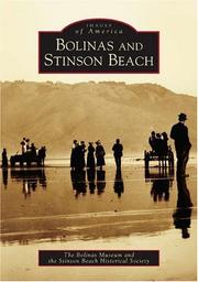
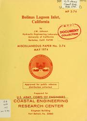
Search results from Open Library.
Recent natural events nearby
- Wildfire FELIZ, Mendocino, CaliforniaWildfires · 2026-08-01 · 78 mi
- Wildfire LUCAS, Lake, CaliforniaWildfires · 2026-09-10 · 92 mi
- Wildfire LUCAS, Lake, CaliforniaWildfires · 2026-09-10 · 92 mi
- Wildfire GANN, Calaveras, CaliforniaWildfires · 2026-08-03 · 106 mi
- Wildfire Timber, Monterey, CaliforniaWildfires · 2026-08-09 · 130 mi
- Wildfire Plaskett, Monterey, CaliforniaWildfires · 2026-08-26 · 156 mi
- Wildfire DOME, Mariposa, CaliforniaWildfires · 2026-09-15 · 171 mi
- Wildfire FLORISTON, Nevada, CaliforniaWildfires · 2026-09-16 · 177 mi
Wildfires, storms and other events from NASA EONET (last 12 months, within 250 mi).
Ground air-quality sensors
Recently spotted species
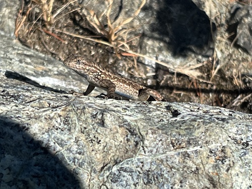
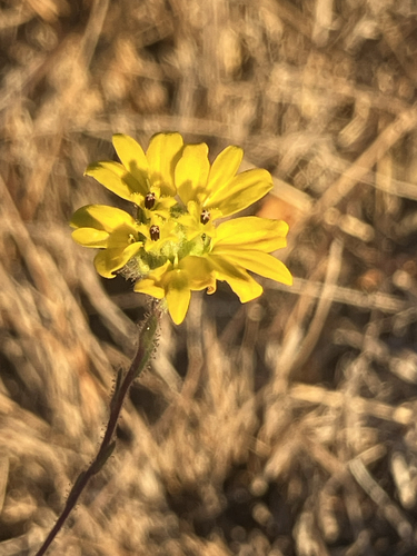
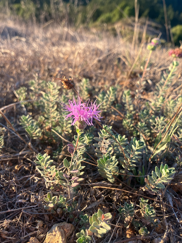
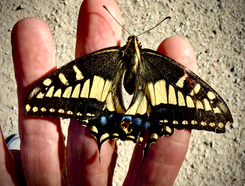
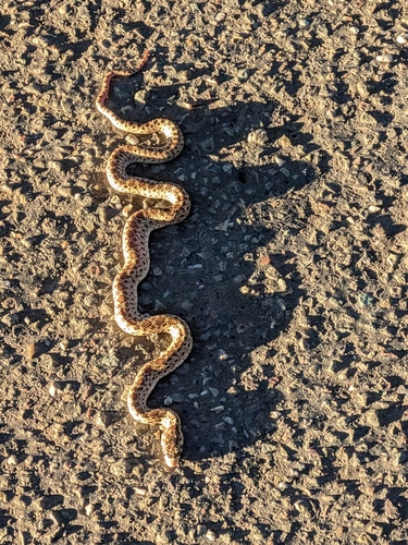
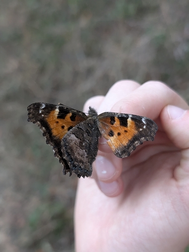
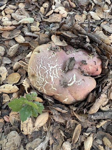
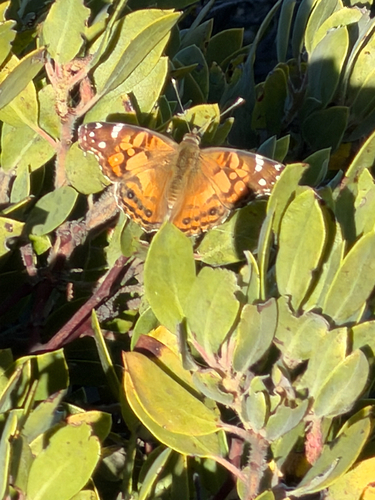
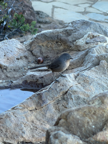
Research-grade observations from iNaturalist (within ~15 mi).
Nearest stream gauge
Events
Gallery
Sources
- • Wikipedia
- • US Census Bureau (ACS 5-year estimates)
- • Wikidata
- • NCES via Urban Institute Education Data Portal
- • iNaturalist
- • CDC PLACES
- • Open-Meteo / sunrise-sunset.org
- • Wikipedia Pageviews API
- • Open Library
- • NASA EONET