Browse / Canada / Alberta / Brooks
Brooks
Albertacity

Brooks
Total population
14,924
Demographic figures from Statistics Canada. Overview below cites Wikipedia and may reference a different year.
City facts
Overview
Brooks is a city in southeast Alberta, Canada in the County of Newell. It is on Highway 1 and the Canadian Pacific Kansas City railway, approximately 186 km (116 mi) southeast of Calgary, and 110 km (68 mi) northwest of Medicine Hat. The city has an elevation of 760 m (2,490 ft).
Read more on WikipediaHistory & geography
History
The area that is now Brooks was used as a bison-hunting ground for the Blackfoot and Crow tribes. After Treaty 7 was signed in 1877, homesteaders took advantage of the Dominion Lands Act to move into the area to begin farming. Before 1904, the area still did not have a name. Through a contest sponsored by the Postmaster General, the area was named after Noel Edgell Brooks (1865–1926), a Canadian Pacific Railway Divisional Engineer from Calgary. Brooks was incorporated as a village on July 14, 1910, and then as a town on September 8, 1911. Brooks incorporated as a city on September 1, 2005 In 2010, Brooks celebrated the centennial of its incorporation as a village in 1910.
Geography
Brooks is located in the Grassland Natural Region of Alberta. The area surrounding Brooks is dry mixed grass/shortgrass prairie. Located in the steppe region known as the Palliser's Triangle, Brooks has a semi-arid climate (Köppen climate classification 'BSk'). Winters are quite dry and cold, with little snowfall compared to the rest of Canada. Chinook winds, though less common than in areas west and especially southwest of Brooks, are still common and ameliorate the cold winter temperatures temporarily when they pass over. Wide diurnal temperature ranges are regular, due to the aridity and moderately high elevation. Low humidity is prevalent throughout the year. Most of the relatively scant annual precipitation occurs in late spring and summer, often in the form of thunderstorms. On average, the coldest month is January, with an average temperature of while the warmest is July, with an average temperature of . The driest month is February, with an average monthly precipitation of , while the wettest month is June, with an average of . Annual precipitation is low, with an average of .(rain/rain days, snow/snow days 1981–2010) (Sunshine 1961–1990) |source = }}
Excerpted from the corresponding Wikipedia article (CC BY-SA).
Geography
Coordinates & boundaries from the US Census TIGER/Line shapefiles.
Climate
Air quality
Walkability
Amenities nearby
Wildlife & biodiversity
Most-observed species
- American RobinTurdus migratorius Linnaeus, 1766 · Aves1,565
- Common GrackleQuiscalus quiscula (Linnaeus, 1758) · Aves1,522
- Canada Goose (canadensis Group)Branta canadensis (Linnaeus, 1758) · Aves1,488
- MallardAnas platyrhynchos Linnaeus, 1758 · Aves1,415
- Red-winged BlackbirdAgelaius phoeniceus (Linnaeus, 1766) · Aves1,392
- Mourning DoveZenaida macroura (Linnaeus, 1758) · Aves1,378
- Black-billed MagpiePica hudsonia (Sabine, 1823) · Aves1,332
- Ring-billed GullLarus delawarensis Ord, 1815 · Aves1,321
Citizen-science & research observations from the Global Biodiversity Information Facility (GBIF).
Earthquake history
Most recent
- M 2.9 — 2014-09-1213 km ENE of Picture Butte, Canada
Events from the USGS Earthquake Catalog (global) (FDSN Event Web Service).
Photos
Sights & places nearby
Notable people from here


People born within ~10 km, from Wikidata (CC0). Click any name for their Wikipedia article.
Nearby places in Alberta
- Cassils6.9 mi away
- Lathom Hutterite Colony17.3 mi away
- Spring Side Hutterite Colony18.4 mi away
- Bow City Hutterite Colony18.9 mi away
- Iddesleigh28.3 mi away
- Lomond Hutterite Colony28.3 mi away
- Spring View Hutterite Colony32.3 mi away
- Jenner33.4 mi away
- Fairville Hutterite Colony36 mi away
- Newell Hutterite Colony36.7 mi away
- Clearview Hutterite Colony37.7 mi away
- Crowfoot37.9 mi away
Geography & sun
Elevation, sunrise/sunset and daylight from Open-Meteo. Solar climatology from NASA POWER.
Nearby airports
Public attention
Pageview totals from the Wikimedia Pageviews API.
Books about Brooks

Search results from Open Library.
Recent natural events nearby
- Wildfire Skillet, Lincoln, MontanaWildfires · 2026-07-29 · 196 mi
- Wildfire Middle Coulee, Chouteau, MontanaWildfires · 2026-08-02 · 200 mi
- Wildfire Deer Creek, Lincoln, MontanaWildfires · 2026-08-20 · 220 mi
- Wildfire Camp Creek, Powell, MontanaWildfires · 2026-08-21 · 224 mi
- Wildfire Parker Lake, Boundary, IdahoWildfires · 2026-08-23 · 242 mi
Wildfires, storms and other events from NASA EONET (last 12 months, within 250 mi).
Ground air-quality sensors
Recently spotted species
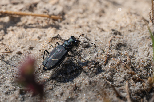
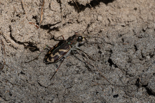
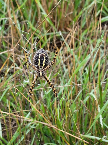
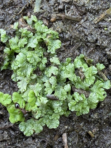
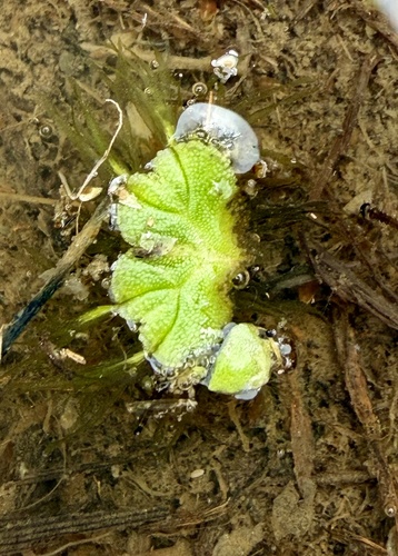
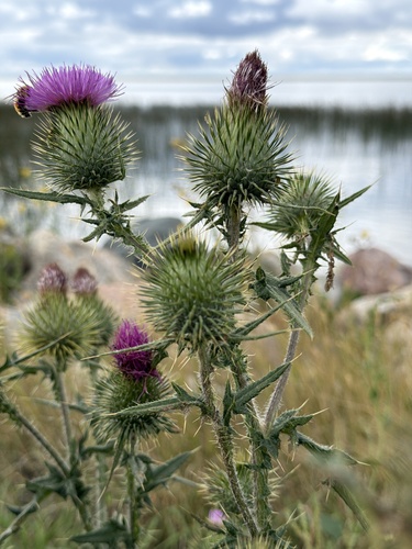
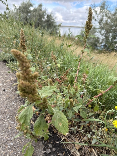
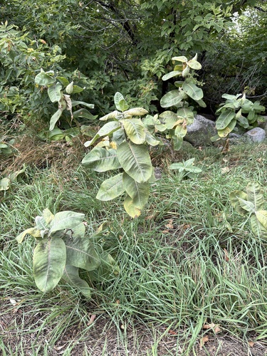
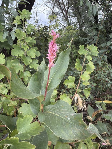
Research-grade observations from iNaturalist (within ~15 mi).
Events
Gallery
Official Identifiers
StatCan — Statistics Canada
- SGC code
- 4802034
- Population (Wikidata)
- 14,451
- Wikidata
- Q1055838
Standard Geographical Classification (SGC) via Wikidata P3012
Sources
- • Wikipedia
- • Wikidata
- • USGS Earthquake Catalog (global feed)
- • GBIF (Global Biodiversity Information Facility)
- • iNaturalist
- • Open-Meteo / sunrise-sunset.org
- • Wikipedia Pageviews API
- • Open Library
- • NASA EONET
- • StatCan — Statistics Canada — Standard Geographical Classification (SGC) via Wikidata P3012