Browse / Canada / Alberta / Cassils
Cassils
Albertavillage
Demographic figures from Statistics Canada. Overview below cites Wikipedia and may reference a different year.
City facts
Overview
Set in Alberta, Canada, Cassils is recorded in open geodata as a village. No reliable population estimate is published for this entry in the open data we rely on. Its coordinates of 50.583°, -112.050° place it in the cool-temperate zone of the northern hemisphere. Solar-resource estimates put the area at about 1,376 kWh/m² of solar irradiance per year with sunshine for roughly 54% of daylight hours. Based on its cool temperate position, residents likely encounter long cool seasons and short, mild summers. The sections below expand on demographics, weather, terrain, hazards and nearby points of interest using publicly available datasets.
Summary composed automatically from structured open data on this page. See our Terms for details.
History & geography
Geography
Coordinates & boundaries from the US Census TIGER/Line shapefiles.
Climate
Air quality
Walkability
Amenities nearby
Wildlife & biodiversity
Most-observed species
- American RobinTurdus migratorius Linnaeus, 1766 · Aves1,528
- Common GrackleQuiscalus quiscula (Linnaeus, 1758) · Aves1,430
- Canada Goose (canadensis Group)Branta canadensis (Linnaeus, 1758) · Aves1,351
- Mourning DoveZenaida macroura (Linnaeus, 1758) · Aves1,308
- MallardAnas platyrhynchos Linnaeus, 1758 · Aves1,274
- Ring-billed GullLarus delawarensis Ord, 1815 · Aves1,240
- Red-winged BlackbirdAgelaius phoeniceus (Linnaeus, 1766) · Aves1,230
- Black-billed MagpiePica hudsonia (Sabine, 1823) · Aves1,219
Citizen-science & research observations from the Global Biodiversity Information Facility (GBIF).
Earthquake history
Most recent
- M 2.9 — 2014-09-1213 km ENE of Picture Butte, Canada
Events from the USGS Earthquake Catalog (global) (FDSN Event Web Service).
Photos
Sights & places nearby
Notable people from here
Nearby places in Alberta
- Brooks6.9 mi away · pop. 14,924
- Lathom Hutterite Colony10.4 mi away
- Bow City Hutterite Colony13.6 mi away
- Spring Side Hutterite Colony21.2 mi away
- Lomond Hutterite Colony23.5 mi away
- Spring View Hutterite Colony29.9 mi away
- Fairville Hutterite Colony30.1 mi away
- Crowfoot31.4 mi away
- Newell Hutterite Colony31.5 mi away
- Clearview Hutterite Colony32.8 mi away
- Armada Hutterite Colony33.8 mi away
- Iddesleigh34.4 mi away
Geography & sun
Elevation, sunrise/sunset and daylight from Open-Meteo. Solar climatology from NASA POWER.
Nearby airports
Public attention
Pageview totals from the Wikimedia Pageviews API.
Books about this place
Recent natural events nearby
- Wildfire Skillet, Lincoln, MontanaWildfires · 2026-07-29 · 192 mi
- Wildfire Middle Coulee, Chouteau, MontanaWildfires · 2026-08-02 · 203 mi
- Wildfire Deer Creek, Lincoln, MontanaWildfires · 2026-08-20 · 216 mi
- Wildfire Camp Creek, Powell, MontanaWildfires · 2026-08-21 · 223 mi
- Wildfire Parker Lake, Boundary, IdahoWildfires · 2026-08-23 · 236 mi
- Wildfire Silver, Boundary, IdahoWildfires · 2026-08-23 · 247 mi
Wildfires, storms and other events from NASA EONET (last 12 months, within 250 mi).
Ground air-quality sensors
Recently spotted species
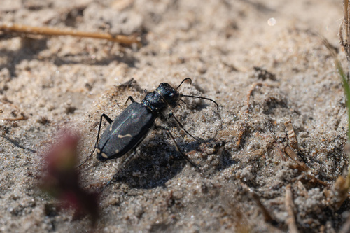
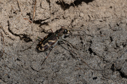
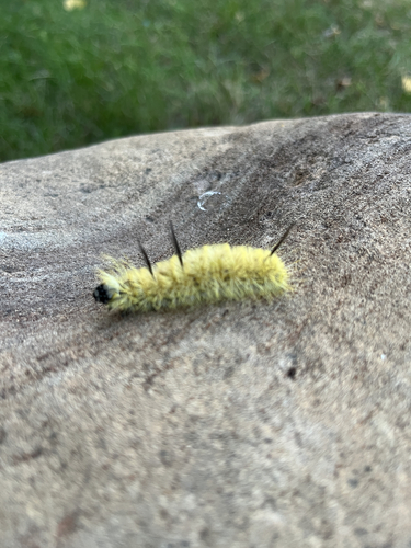
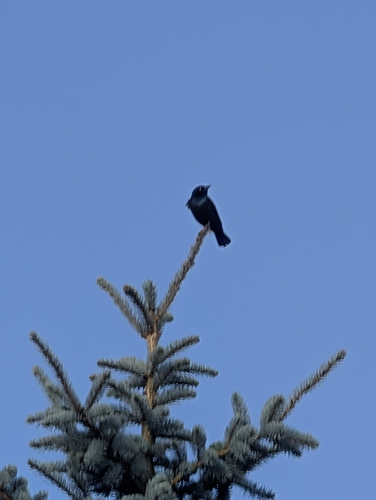
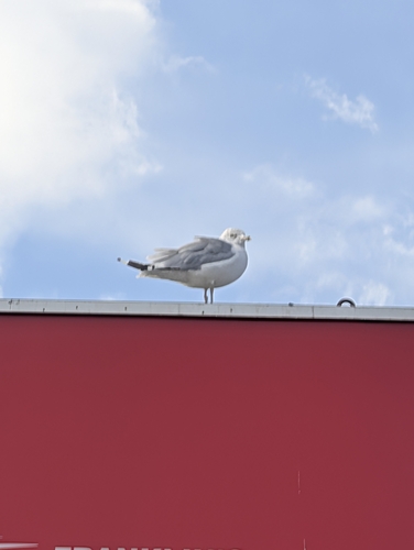
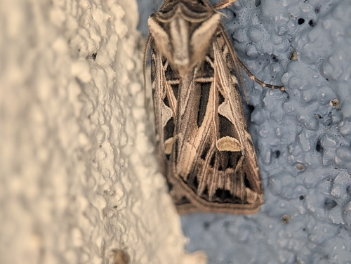
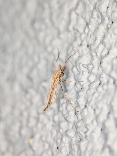
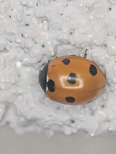
Research-grade observations from iNaturalist (within ~15 mi).
Events
Gallery
Sources
- • Wikidata
- • USGS Earthquake Catalog (global feed)
- • GBIF (Global Biodiversity Information Facility)
- • iNaturalist
- • Open-Meteo / sunrise-sunset.org
- • Wikipedia Pageviews API
- • NASA EONET