Browse / United States / California / Burbank
Burbank
Californiacity

Burbank
Total population
103,543
Median home value
$1,121,000
Bachelor's+
Median income
$85,517
Founded
1887
Air quality index
Demographic figures from US Census Bureau · ACS 5-year estimates. Overview below cites Wikipedia and may reference a different year.
- Red Flag Warning · SevereRed Flag Warning issued October 15 at 1:16PM PDT until October 17 at 8:00PM PDT by NWS Los Angeles/Oxnard CA
- Wind Advisory · ModerateWind Advisory issued October 15 at 7:38AM PDT until October 16 at 8:00PM PDT by NWS Los Angeles/Oxnard CA
Source: NOAA National Weather Service.
City facts
Sister cities
Facts from Wikidata (CC0).
Overview
Burbank is a city in the southeastern end of the San Fernando Valley in Los Angeles County, California, United States. Located 7 miles (11 km) northwest of downtown Los Angeles, Burbank had a population of 102,988 as of 2025. The city was named after David Burbank, who established a sheep ranch there in 1867. Burbank consists of two distinct areas: a downtown/foothill section, in the foothills of the Verdugo Mountains, and the flatland section.
Read more on WikipediaHistory & geography
History
The area that became Burbank was inhabited by the Tongva people, an indigenous population, for thousands of years before European colonization. In the late 18th century and the early 19th century, Spanish explorers and mission priests arrived in the Los Angeles area. The city of Burbank occupies land that was previously part of two Spanish and Mexican-era colonial land grants: the Rancho San Rafael, granted to Jose Maria Verdugo by the Spanish Bourbon government in 1784, and the Rancho Providencia created in 1821. This area was the scene of a military skirmish which resulted in the unseating of the Spanish Governor of California, and his replacement by the Mexican leader Pio Pico. New Spain achieved its independence from the Spanish Empire in 1821, and from 1824, Rancho San Rafael existed within the new Mexican Republic. David Burbank purchased over of the former Verdugo holding and another of the Rancho Providencia in 1867. Burbank built a ranch house and began to raise sheep and grow wheat on the ranch. Burbank would not acquire full titles to both properties until after a court decision known as the "Great Partition" was made in 1871 dissolving the Rancho San Rafael. He eventually became known as one of the largest and most successful sheep raisers in southern California, and as a result, he closed his dentistry practice and invested heavily in real estate in Los Angeles. When the area that became Burbank was settled in the 1870s and 1880s, the streets were aligned along what is now Olive Avenue, the road to the Cahuenga Pass and downtown Los Angeles. These were largely the roads the Native Americans traveled and the early settlers took their produce down to Los Angeles to sell and to buy supplies along these routes. Completion of the Southern Pacific…
Geography
According to the United States Census Bureau, Burbank has a total area of . of it is land and of it (0.12%) is water. It is bordered by Glendale to the east, North Hollywood and Toluca Lake on the west, and Griffith Park to the south. The Verdugo Mountains form the northern border. Elevations in the city range from in the lower valley areas to about near the Verdugo Mountains. Most of Burbank features a water table more than deep, more than the measures found in the 1940s when the water table was within of the ground surface in some areas of Burbank. The geology of the Burbank area is primarily composed of sedimentary rocks, including sandstone, siltstone, and shale. These rocks were formed by sediment deposited by ancient rivers and seas, and have been uplifted and folded due to tectonic activity. Burbank is located within a seismically active area. At least eight major faults are mapped within of Burbank's civic center. The San Fernando Fault, located northwest of Burbank's downtown, caused the 6.6 magnitude 1971 San Fernando earthquake. The Verdugo Fault, which can reach a maximum estimated 6.5 magnitude earthquake on the Richter Scale, is about from the city of Burbank's civic center. This fault extends throughout the city and is located in the alluvium just south of the Verdugo Mountains. The fault is mapped on the surface in northeastern Glendale, and at various locations in Burbank. Other nearby faults include the Northridge Hills Fault ( northwest of Burbank), the Newport–Inglewood Fault (), Whittier Fault (), and lastly the San Andreas Fault () with its 8.25 magnitude potential on the Richter Scale. The 1971 San Fernando earthquake, with a magnitude of 6.6, caused some damage in Burbank. Poorly reinforced and unreinforced masonry fences were…
Excerpted from the corresponding Wikipedia article (CC BY-SA).
Demographics & economy
Race & ethnicity
Source: US Census Bureau — American Community Survey, 5-year estimates.
Geography
Coordinates & boundaries from the US Census TIGER/Line shapefiles.
Climate
Current forecast
Forecast for Burbank, CA from NOAA NWS API.
Air quality
Current readings from Open-Meteo Air Quality API (Copernicus CAMS European reanalysis).
Industrial & pollution facilities
Natural hazard risk
Health (adults)
Age-adjusted prevalence estimates from CDC PLACES (latest release).
Walkability
Amenities nearby
Wildlife & biodiversity
Most-observed species
- House FinchHaemorhous mexicanus (P.L.Statius Müller, 1776) · Aves62,648
- Mourning DoveZenaida macroura (Linnaeus, 1758) · Aves53,581
- California TowheeMelozone crissalis (Vigors, 1839) · Aves50,444
- Black PhoebeSayornis nigricans (Swainson, 1827) · Aves47,716
- Lesser GoldfinchSpinus psaltria (Say, 1822) · Aves46,473
- Common RavenCorvus corax Linnaeus, 1758 · Aves46,148
- American CrowCorvus brachyrhynchos C.L.Brehm, 1822 · Aves40,294
- Anna's HummingbirdCalypte anna (R.Lesson, 1829) · Aves39,720
Citizen-science & research observations from the Global Biodiversity Information Facility (GBIF).
Schools
Largest nearby schools
- Vaughn Next Century Learning CenterOther · San Fernando · 2,877 students · 21:1 ratio
- North Hollywood Senior HighHigh · North Hollywood · 2,489 students · 20.9:1 ratio
- Crescenta Valley HighHigh · La Crescenta · 2,488 students · 23.9:1 ratio
- Burbank HighHigh · Burbank · 2,447 students · 24.7:1 ratio
- Van Nuys Senior HighHigh · Van Nuys · 2,323 students · 20.7:1 ratio
- Burroughs HighHigh · Burbank · 2,305 students · 23.1:1 ratio
- John H. Francis PolytechnicHigh · Sun Valley · 2,232 students · 19.1:1 ratio
- Eagle Rock HighHigh · Los Angeles · 2,069 students · 19.9:1 ratio
Public K–12 schools within ~10 mi from Urban Institute Education Data Portal (NCES Common Core of Data, 2022).
Earthquake history
Most recent
- M 3.16 — 2026-10-092 km SW of Signal Hill, CA
- M 2.7 — 2026-10-082 km WNW of Fontana, CA
- M 3.81008714964485 — 2026-09-304 km SE of Piru, CA
- M 3.55404092525043 — 2026-09-277 km WSW of Hermosa Beach, CA
- M 2.53 — 2026-09-1811 km N of Fillmore, CA
- M 2.94 — 2026-09-174 km SSE of Compton, CA
Events from the USGS Earthquake Catalog (global) (FDSN Event Web Service).
Photos
Sights & places nearby
Notable people from here


People born within ~10 km, from Wikidata (CC0). Click any name for their Wikipedia article.
Nearby places in California
- La Crescenta-Montrose6 mi away
- San Fernando9.3 mi away · pop. 23,632
- East Los Angeles14.2 mi away
- East Pasadena14.7 mi away
- Florence-Graham16 mi away · pop. 60,690
- Marina del Rey16.4 mi away
- Commerce16.9 mi away · pop. 11,993
- North El Monte18.3 mi away
- Del Aire19 mi away
- Hidden Hills19.2 mi away · pop. 2,150
- El Segundo20.1 mi away
- Alondra Park20.7 mi away
Geography & sun
Elevation, sunrise/sunset and daylight from Open-Meteo. Solar climatology from NASA POWER.
Nearby airports
Public attention
Pageview totals from the Wikimedia Pageviews API.
Books about Burbank


Search results from Open Library.
Recent natural events nearby
- Wildfire RIDGE, Los Angeles, CaliforniaWildfires · 2026-08-07 · 50 mi
- Wildfire BUZZARD, Kern, CaliforniaWildfires · 2026-08-05 · 60 mi
- Wildfire PLAINS, San Luis Obispo, CaliforniaWildfires · 2026-08-12 · 127 mi
- Prescribed Fire CRAWFORD CORRAL RX, Tulare, CaliforniaWildfires · 2026-09-19 · 171 mi
- Wildfire Plaskett, Monterey, CaliforniaWildfires · 2026-08-26 · 211 mi
- Wildfire Timber, Monterey, CaliforniaWildfires · 2026-08-09 · 237 mi
- Wildfire DOME, Mariposa, CaliforniaWildfires · 2026-09-15 · 244 mi
Wildfires, storms and other events from NASA EONET (last 12 months, within 250 mi).
Ground air-quality sensors
Recently spotted species
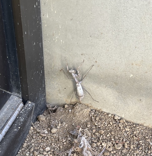
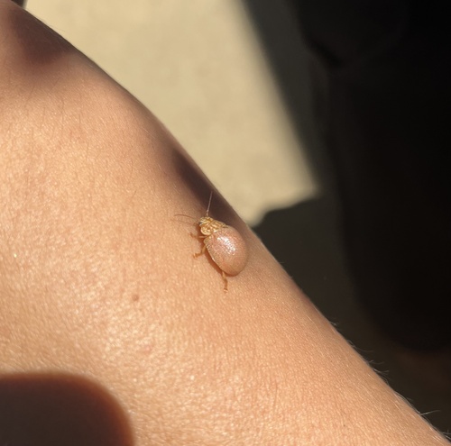
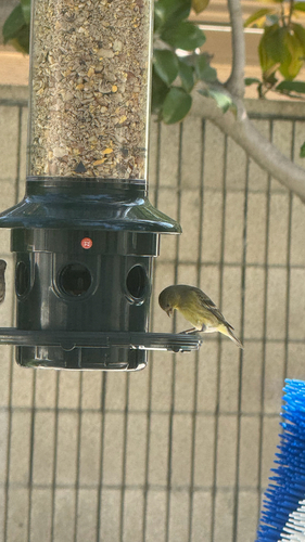
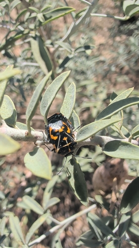
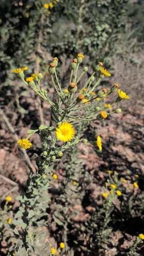
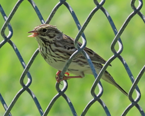
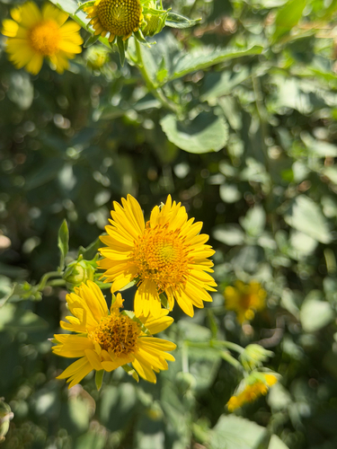
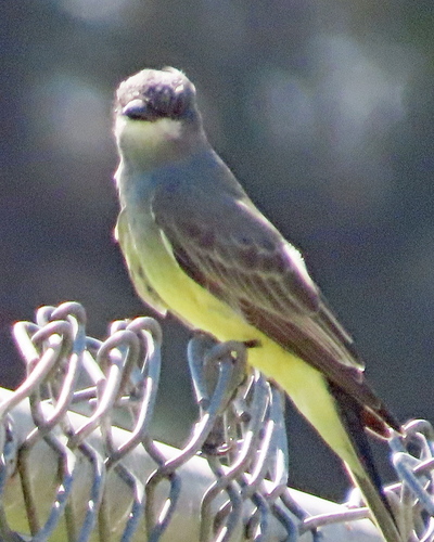
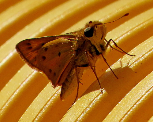
Research-grade observations from iNaturalist (within ~15 mi).
Nearest stream gauge
Live readings from USGS NWIS · measured 2026-10-01 16:00 UTC.
Events
Notable, recurring, and historical events associated with Burbank, sourced from Wikidata.
Source: Wikidata (CC0).
Gallery
Geotagged photos within ~6 miles of Burbank, from Wikimedia Commons contributors.
 0.1 mi
 0.2 mi
 0.3 mi
.jpg) 0.4 mi
0.4 mi.jpg) 0.4 mi
0.4 mi 0.5 mi
 0.5 mi
 0.5 mi
 0.5 mi
 0.5 mi
 0.5 mi
 0.5 mi
 0.5 mi
.jpg) 0.5 mi
0.5 mi 0.5 mi
 0.7 mi
 0.7 mi
 0.7 mi
 0.7 mi
 0.7 mi
 0.7 mi
 0.7 mi
 0.7 mi
 0.7 mi
Photos via Wikimedia Commons — see each image page for license & attribution.
Sources
- • Wikipedia
- • US Census Bureau (ACS 5-year estimates)
- • NOAA National Weather Service
- • Wikimedia Commons
- • Wikidata
- • Open-Meteo Air Quality (CAMS)
- • USGS Earthquake Catalog (global feed)
- • USGS NWIS (water data)
- • NCES via Urban Institute Education Data Portal
- • GBIF (Global Biodiversity Information Facility)
- • iNaturalist
- • CDC PLACES
- • Open-Meteo / sunrise-sunset.org
- • Wikipedia Pageviews API
- • Open Library
- • NASA EONET