Browse / United States / California / Commerce
Commerce
Californiacity

Commerce
Total population
11,993
Median home value
$598,700
Bachelor's+
Median income
$77,064
Founded
1960
Demographic figures from US Census Bureau · ACS 5-year estimates. Overview below cites Wikipedia and may reference a different year.
- Extreme Heat Warning · SevereExtreme Heat Warning issued October 1 at 12:17PM PDT until October 8 at 8:00PM PDT by NWS Los Angeles/Oxnard CA
Source: NOAA National Weather Service.
City facts
Facts from Wikidata (CC0).
Overview
Commerce is a city located in southeast Los Angeles County, California, United States. The population was 12,378 at the 2020 census, down from 12,823 at the 2010 census. It is usually referred to as the City of Commerce to distinguish it from the common noun. It is bordered by Vernon on the west, Los Angeles on the northwest, East Los Angeles on the north, Montebello on the east, Downey and Bell Gardens on the south, and Maywood on the southwest. The Los Angeles River forms part of its southwestern boundary, and the Rio Hondo separates it from Downey. Commerce is served by the Long Beach and Santa Ana freeways, as well as the Metrolink commuter rail service at the Commerce station.
Read more on WikipediaHistory & geography
History
In the 19th century, the area was part of Antonio Maria Lugo's Rancho San Antonio. Its conversion to an industrial area began in 1887, when the Atchison, Topeka and Santa Fe Railway built its main line through the area. The ranch remained intact until Arcadia Bandini de Stearns Baker, reputedly once the wealthiest woman in Los Angeles, sold some of it around the turn of the 20th century. The Atchison, Topeka and Santa Fe Railway and Los Angeles and Salt Lake Railroad (later the Union Pacific) both were built through what would become the community, as was the Pacific Electric Railway's Whittier Line. By the 1920s, factories had arrived. In the late 1940s, industrial leaders banded together with residents in the communities of Bandini, Rosewood, and Laguna to encourage commerce. They changed the name to match that goal. The city was incorporated in 1960 to prevent neighboring cities such as Vernon and Los Angeles from annexing industrial land for tax revenue and elected its first city mayor, Maurice Quigley. In the 1970s and 1980s, Commerce successfully negotiated the turbulent period of deindustrialization that hammered nearby cities such as South Gate and Norwalk, maintaining much of its manufacturing and goods-distribution base and successfully converting former industrial land to lucrative commercial uses. The most notable example of this phenomenon is the Citadel Outlets mall, which occupies the site of a former tire factory. The owner of the Citadel, Steve Craig, hosts an annual Clean Up Commerce Day and enlists other businesses to work with the city and volunteers in beautifying a specific area of the city. With a major rail yard within its borders, Commerce has also benefited greatly from the huge expansion in international trade traffic through the ports…
Geography
According to the United States Census Bureau, the city has a total area of , over 99% of it land.
Excerpted from the corresponding Wikipedia article (CC BY-SA).
Demographics & economy
Race & ethnicity
Source: US Census Bureau — American Community Survey, 5-year estimates.
Geography
Coordinates & boundaries from the US Census TIGER/Line shapefiles.
Climate
Current forecast
Forecast for Commerce, CA from NOAA NWS API.
Air quality
Industrial & pollution facilities
Natural hazard risk
Health (adults)
Age-adjusted prevalence estimates from CDC PLACES (latest release).
Walkability
Amenities nearby
Wildlife & biodiversity
Schools
Largest nearby schools
- Downey HighHigh · Downey · 4,063 students · 23.4:1 ratio
- Paramount HighHigh · Paramount · 3,737 students · 20.5:1 ratio
- Warren (Earl) HighHigh · Downey · 3,437 students · 23.7:1 ratio
- Mayfair HighHigh · Lakewood · 2,578 students · 22.6:1 ratio
- California HighHigh · Whittier · 2,504 students · 23.2:1 ratio
- La Serna HighHigh · Whittier · 2,410 students · 25.9:1 ratio
- Bell Senior HighHigh · Bell · 2,351 students · 22:1 ratio
- James A. Garfield Senior HighHigh · Los Angeles · 2,247 students · 17.6:1 ratio
Public K–12 schools within ~10 mi from Urban Institute Education Data Portal (NCES Common Core of Data, 2022).
Earthquake history
Photos
Sights & places nearby
Notable people from here


People born within ~10 km, from Wikidata (CC0). Click any name for their Wikipedia article.
Nearby places in California
- Bell Gardens2.1 mi away · pop. 39,501
- Cudahy2.8 mi away · pop. 22,811
- East Los Angeles2.8 mi away
- Florence-Graham5.7 mi away
- East Rancho Dominguez7.4 mi away
- Avocado Heights9.2 mi away
- East San Gabriel9.3 mi away
- Artesia9.6 mi away
- Cerritos9.9 mi away · pop. 49,578
- East Whittier10.4 mi away
- East Pasadena10.7 mi away
- Hawaiian Gardens12.2 mi away
Geography & sun
Elevation, sunrise/sunset and daylight from Open-Meteo. Solar climatology from NASA POWER.
Nearby airports
Public attention
Pageview totals from the Wikimedia Pageviews API.
Books about Commerce



Search results from Open Library.
Recent natural events nearby
- Wildfire RIDGE, Los Angeles, CaliforniaWildfires · 2026-08-07 · 67 mi
- Wildfire BUZZARD, Kern, CaliforniaWildfires · 2026-08-05 · 76 mi
- Wildfire PLAINS, San Luis Obispo, CaliforniaWildfires · 2026-08-12 · 144 mi
- Prescribed Fire CRAWFORD CORRAL RX, Tulare, CaliforniaWildfires · 2026-09-19 · 186 mi
- Wildfire Plaskett, Monterey, CaliforniaWildfires · 2026-08-26 · 227 mi
Wildfires, storms and other events from NASA EONET (last 12 months, within 250 mi).
Ground air-quality sensors
Recently spotted species
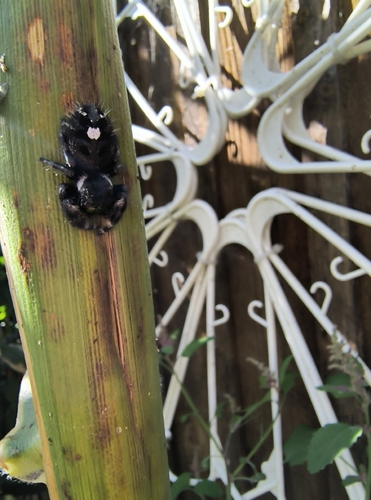
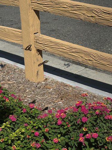
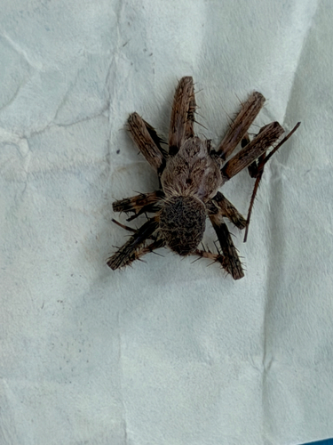
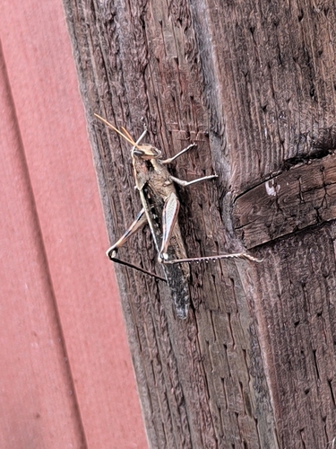
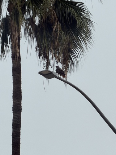
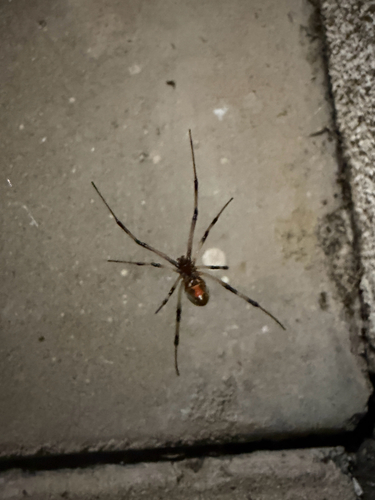
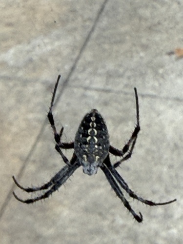
Research-grade observations from iNaturalist (within ~15 mi).
Nearest stream gauge
Events
Gallery
Sources
- • Wikipedia
- • US Census Bureau (ACS 5-year estimates)
- • NOAA National Weather Service
- • Wikidata
- • NCES via Urban Institute Education Data Portal
- • iNaturalist
- • CDC PLACES
- • Open-Meteo / sunrise-sunset.org
- • Wikipedia Pageviews API
- • Open Library
- • NASA EONET