Browse / United States / California / Cerritos
Cerritos
Californiacity

Cerritos
Total population
47,867
Median home value
$935,300
Bachelor's+
Median income
$135,439
Demographic figures from US Census Bureau · ACS 5-year estimates. Overview below cites Wikipedia and may reference a different year.
City facts
Facts from Wikidata (CC0).
Overview
Cerritos is a city in Los Angeles County, California, United States, and is one of several cities that constitute the Gateway Cities of southeast Los Angeles County. It was incorporated on April 24, 1956. As of 2020, the population was 49,578. It is part of the Los Angeles–Long Beach–Anaheim, California Metropolitan Statistical Area designated by the Office of Management and Budget.
Read more on WikipediaHistory & geography
History
Cerritos was originally inhabited by Native Americans belonging to the Tongva (or "People of the Earth"). The Tongva were called the "Gabrieleños" by the Spanish settlers after the nearby Mission San Gabriel Arcángel. The Tongva were the largest group of indigenous peoples in Southern California as well as the most developed in the region. The Tongva lived off the land, deriving food from the animals or plants that could be gathered, snared or hunted, and grinding acorns as a staple. No Tongva village sites were found within the city, but it was a common passing point between the natives. Beginning in the late 15th century, Spanish explorers arrived in the New World and worked their way to the California coast in 1542. The colonization process included "civilizing" the native populations in California by establishing various missions. Soon afterward, a town called El Pueblo de Nuestra Señora la Reina de los Ángeles de Porciúncula (today known as Los Angeles) would be founded and prosper with the aid of subjects from New Spain and Native American labor. One soldier, Manuel Nieto, was granted a large plot of land by the Spanish King Charles III in 1784, which he named Rancho Los Nietos. It covered of eastern Los Angeles County and western Orange County. Its population grew from 4,373 in 1968 to 40,750 in 1973. A total of 82 people died, including 15 people on the ground. The city's transportation shuttle system, Cerritos on Wheels (COW), went into service in August 1993. In 1994, the Cerritos Towne Center was completed, with the Cerritos Center for the Performing Arts within first opening its doors in January a year earlier. To celebrate the coming of the millennium in 2000, the city conducted a $40 million renovation of its library, which was completed in 2002. In…
Geography
According to the United States Census Bureau, the city has a total area of ; of it is land and of it (1.48%) is water. Cerritos lies along the Los Angeles County and Orange County border. The cities bordering Cerritos on the Los Angeles County side include Artesia in the center, Bellflower, Lakewood, Norwalk, Santa Fe Springs and La Mirada. Buena Park and La Palma border the city on the Orange County side. Other cities in the region include Cypress in Orange County, and Hawaiian Gardens and Long Beach in Los Angeles County. The former postal ZIP code of Cerritos was 90701 and was shared with the city of Artesia; however, it was later changed to the exclusive 90703 to accommodate the increasing number of new addresses in the city during the mid-1990s. Cerritos, as well as most of coastal Southern California, generally has a Mediterranean climate. Summers are warm to hot, and winters are mild, rarely falling below freezing. Precipitation occurs predominantly during the winter months. Cerritos also has a unique "semi-marine" climate pattern within Los Angeles County. The fog that typically covers the beach cities rarely reaches Cerritos, but the breeze that comes along the San Gabriel River from the Pacific Ocean has a significant cooling effect. As a result, Cerritos is rarely affected by the smog, Santa Ana winds and smothering heat of the Los Angeles Basin.
Excerpted from the corresponding Wikipedia article (CC BY-SA).
Demographics & economy
Race & ethnicity
Source: US Census Bureau — American Community Survey, 5-year estimates.
Geography
Coordinates & boundaries from the US Census TIGER/Line shapefiles.
Climate
Current forecast
Forecast for Cerritos, CA from NOAA NWS API.
Air quality
Industrial & pollution facilities
Natural hazard risk
Health (adults)
Age-adjusted prevalence estimates from CDC PLACES (latest release).
Walkability
Amenities nearby
Wildlife & biodiversity
Most-observed species
- House FinchHaemorhous mexicanus (P.L.Statius Müller, 1776) · Aves43,736
- Black PhoebeSayornis nigricans (Swainson, 1827) · Aves42,426
- American CrowCorvus brachyrhynchos C.L.Brehm, 1822 · Aves36,738
- Mourning DoveZenaida macroura (Linnaeus, 1758) · Aves35,656
- Allen's HummingbirdSelasphorus sasin (R.Lesson, 1829) · Aves34,035
- MallardAnas platyrhynchos Linnaeus, 1758 · Aves29,555
- Yellow-rumped WarblerSetophaga coronata (Linnaeus, 1766) · Aves28,885
- Lesser GoldfinchSpinus psaltria (Say, 1822) · Aves26,870
Citizen-science & research observations from the Global Biodiversity Information Facility (GBIF).
Schools
Largest nearby schools
- Downey HighHigh · Downey · 4,063 students · 23.4:1 ratio
- Polytechnic HighHigh · Long Beach · 3,952 students · 23.7:1 ratio
- Paramount HighHigh · Paramount · 3,737 students · 20.5:1 ratio
- Wilson HighHigh · Long Beach · 3,515 students · 23.8:1 ratio
- Warren (Earl) HighHigh · Downey · 3,437 students · 23.7:1 ratio
- Millikan HighHigh · Long Beach · 3,311 students · 24:1 ratio
- Lakewood HighHigh · Lakewood · 2,761 students · 22.3:1 ratio
- Mayfair HighHigh · Lakewood · 2,578 students · 22.6:1 ratio
Public K–12 schools within ~10 mi from Urban Institute Education Data Portal (NCES Common Core of Data, 2022).
Earthquake history
Most recent
- M 3.16 — 2026-10-092 km SW of Signal Hill, CA
- M 2.7 — 2026-10-082 km WNW of Fontana, CA
- M 2.51 — 2026-10-0531 km SW of Dana Point, CA
- M 2.81 — 2026-10-0532 km SW of Dana Point, CA
- M 3.48 — 2026-10-0531 km SW of Dana Point, CA
- M 3.81008714964485 — 2026-09-304 km SE of Piru, CA
Events from the USGS Earthquake Catalog (global) (FDSN Event Web Service).
Photos
Sights & places nearby
Notable people from here


People born within ~10 km, from Wikidata (CC0). Click any name for their Wikipedia article.
Nearby places in California
- Artesia0.6 mi away
- Hawaiian Gardens2.6 mi away · pop. 13,691
- Cypress3.8 mi away · pop. 49,498
- Los Alamitos4.9 mi away · pop. 11,794
- East Whittier6.1 mi away
- Commerce9.9 mi away · pop. 11,993
- Florence-Graham12.2 mi away · pop. 60,690
- Avocado Heights12.5 mi away
- Rowland Heights12.5 mi away · pop. 45,911
- East Los Angeles12.7 mi away
- La Puente13.2 mi away · pop. 37,142
- Alondra Park15.3 mi away
Geography & sun
Elevation, sunrise/sunset and daylight from Open-Meteo. Solar climatology from NASA POWER.
Nearby airports
Public attention
Pageview totals from the Wikimedia Pageviews API.
Books about Cerritos

Search results from Open Library.
Recent natural events nearby
- Wildfire RIDGE, Los Angeles, CaliforniaWildfires · 2026-08-07 · 77 mi
- Wildfire BUZZARD, Kern, CaliforniaWildfires · 2026-08-05 · 86 mi
- Wildfire PLAINS, San Luis Obispo, CaliforniaWildfires · 2026-08-12 · 153 mi
- Prescribed Fire CRAWFORD CORRAL RX, Tulare, CaliforniaWildfires · 2026-09-19 · 196 mi
- Wildfire Plaskett, Monterey, CaliforniaWildfires · 2026-08-26 · 236 mi
Wildfires, storms and other events from NASA EONET (last 12 months, within 250 mi).
Ground air-quality sensors
Recently spotted species
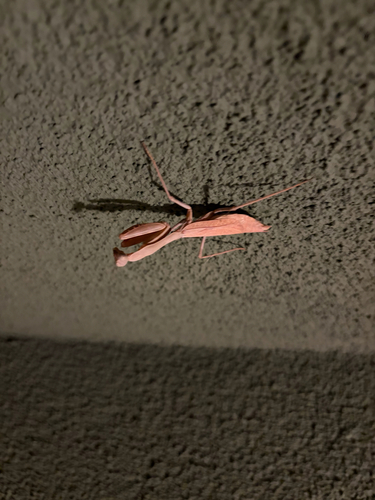
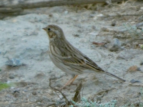
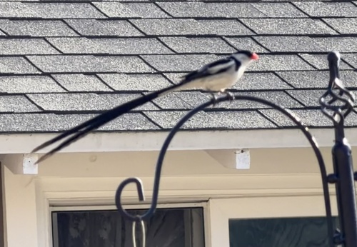
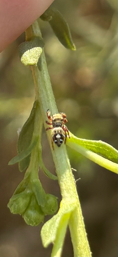
Research-grade observations from iNaturalist (within ~15 mi).
Nearest stream gauge
Events
Gallery
Sources
- • Wikipedia
- • US Census Bureau (ACS 5-year estimates)
- • NOAA National Weather Service
- • Wikidata
- • USGS Earthquake Catalog (global feed)
- • NCES via Urban Institute Education Data Portal
- • GBIF (Global Biodiversity Information Facility)
- • iNaturalist
- • CDC PLACES
- • Open-Meteo / sunrise-sunset.org
- • Wikipedia Pageviews API
- • Open Library
- • NASA EONET