Browse / United States / California / La Puente
La Puente
Californiacity

La Puente
Total population
37,142
Median home value
$617,700
Bachelor's+
Median income
$86,602
Founded
1956
Demographic figures from US Census Bureau · ACS 5-year estimates. Overview below cites Wikipedia and may reference a different year.
- Extreme Heat Warning · SevereExtreme Heat Warning issued October 1 at 12:17PM PDT until October 8 at 8:00PM PDT by NWS Los Angeles/Oxnard CA
Source: NOAA National Weather Service.
City facts
Facts from Wikidata (CC0).
Overview
La Puente is a city in the San Gabriel Valley of Los Angeles County, California, United States. The city had a population of 38,062 at the 2020 census and is approximately 15 miles (24 km) east of Los Angeles.
Read more on WikipediaHistory & geography
History
The original inhabitants of the area now occupied by the city of La Puente were the Tongva lived in a village called Awingna, which linguists translate as "abiding place." The Awingna chief Matheo (who also held sway over several other nearby villages) was baptized at Mission San Gabriel in 1774. In 1769, the Spanish Portolá expedition became the first Europeans to see inland portions of Alta California. On July 30, the party camped on the east side of the San Gabriel River, in today's unincorporated area of Bassett. Father Juan Crespi wrote in his diary that, the next day, they had to build a bridge (Spanish "puente") to cross the miry San Gabriel River. With the establishment of Mission San Gabriel, the area encompassing Awingna and what is now the city of La Puente became part of Rancho La Puente, established as a mission outpost and ranch. The rancho was visited by the Jedediah Smith party in November 1826, the first Americans to travel overland to California. Following secularization of the missions in the 1830s, former mission ranchos passed into private ownership. In 1842, John Rowland and William Workman were granted the Rancho La Puente. In 1884, the area was named Puente (bridge in Spanish; in old Spanish the noun was often feminine, as opposed to modern Spanish el puente). In Crespi's diary, it was written as "la puente", and that spelling has persisted. The area was known for its fruit and walnut groves during the 1930s. The city was even home to the world's largest walnut packing plant. A small airport called the 'Skyranch' operated in La Puente from 1944 to 1951 before it was closed and developed for housing. Today, the city is heavily urbanized, but the area still has some historical landmarks from its founding days nearby, for instance, the…
Geography
La Puente is located at (34.032410, -117.955195). The city, which is mostly flat, covers about of land in the San Gabriel Valley.
Excerpted from the corresponding Wikipedia article (CC BY-SA).
Demographics & economy
Race & ethnicity
Source: US Census Bureau — American Community Survey, 5-year estimates.
Geography
Coordinates & boundaries from the US Census TIGER/Line shapefiles.
Climate
Current forecast
Forecast for La Puente, CA from NOAA NWS API.
Air quality
Industrial & pollution facilities
Natural hazard risk
Health (adults)
Walkability
Amenities nearby
Wildlife & biodiversity
Schools
Earthquake history
Photos
Sights & places nearby
Notable people from here


People born within ~10 km, from Wikidata (CC0). Click any name for their Wikipedia article.
Nearby places in California
- Avocado Heights2.6 mi away
- North El Monte6.3 mi away
- East Whittier7.7 mi away
- Duarte8.9 mi away · pop. 22,184
- East Pasadena10.1 mi away
- Commerce11.5 mi away · pop. 11,993
- Placentia11.9 mi away · pop. 51,824
- East Los Angeles12.3 mi away
- Bell Gardens12.4 mi away · pop. 39,501
- Cerritos13.2 mi away · pop. 47,867
- Artesia13.5 mi away
- Cudahy13.9 mi away · pop. 22,811
Geography & sun
Elevation, sunrise/sunset and daylight from Open-Meteo. Solar climatology from NASA POWER.
Nearby airports
Public attention
Pageview totals from the Wikimedia Pageviews API.
Books about La Puente


Search results from Open Library.
Recent natural events nearby
- Wildfire RIDGE, Los Angeles, CaliforniaWildfires · 2026-08-07 · 72 mi
- Wildfire BUZZARD, Kern, CaliforniaWildfires · 2026-08-05 · 81 mi
- Wildfire FISH, Kern, CaliforniaWildfires · 2026-07-27 · 95 mi
- Wildfire PLAINS, San Luis Obispo, CaliforniaWildfires · 2026-08-12 · 151 mi
- Prescribed Fire CRAWFORD CORRAL RX, Tulare, CaliforniaWildfires · 2026-09-19 · 187 mi
- Wildfire Plaskett, Monterey, CaliforniaWildfires · 2026-08-26 · 235 mi
Wildfires, storms and other events from NASA EONET (last 12 months, within 250 mi).
Ground air-quality sensors
Recently spotted species
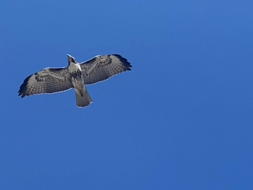
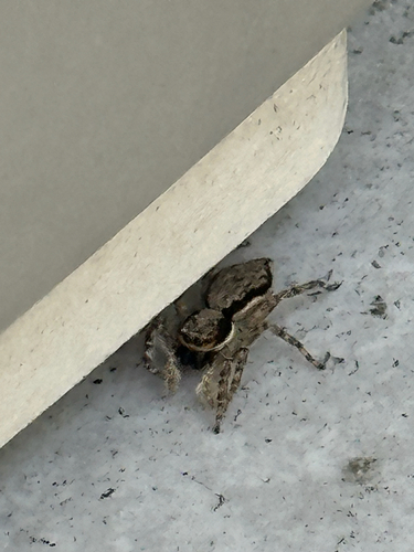
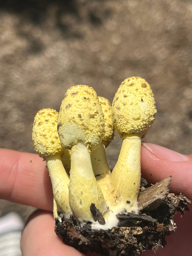
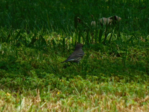
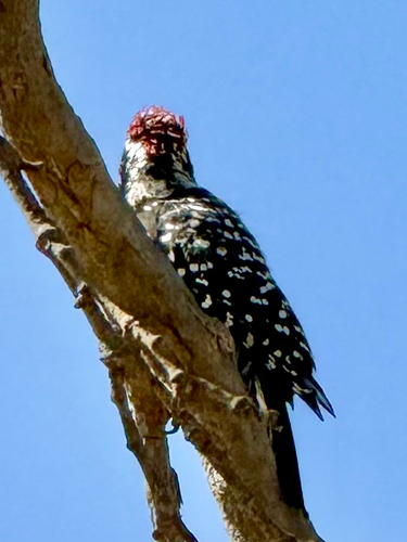
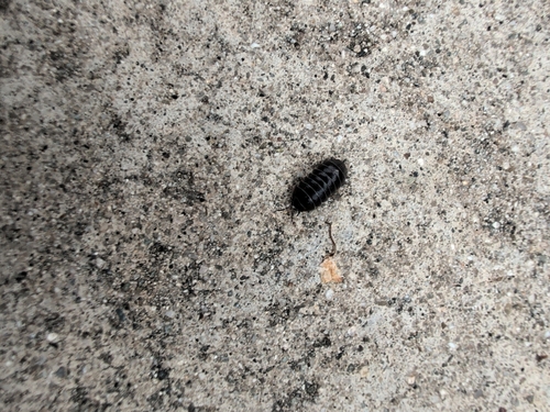
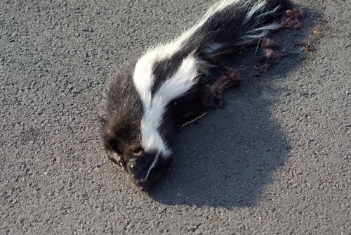
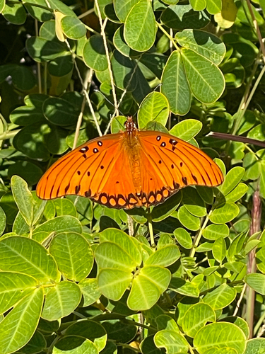
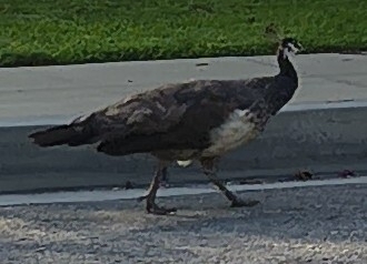
Research-grade observations from iNaturalist (within ~15 mi).
Nearest stream gauge
Events
Gallery
Sources
- • Wikipedia
- • US Census Bureau (ACS 5-year estimates)
- • NOAA National Weather Service
- • Wikidata
- • iNaturalist
- • Open-Elevation
- • Open-Meteo / sunrise-sunset.org
- • Wikipedia Pageviews API
- • Open Library
- • NASA EONET