Browse / United States / California / Duarte
Duarte
Californiacity

Duarte
Total population
22,184
Median home value
$779,400
Bachelor's+
Median income
$105,483
Demographic figures from US Census Bureau · ACS 5-year estimates. Overview below cites Wikipedia and may reference a different year.
- Extreme Heat Warning · SevereExtreme Heat Warning issued October 1 at 12:17PM PDT until October 8 at 8:00PM PDT by NWS Los Angeles/Oxnard CA
Source: NOAA National Weather Service.
City facts
Facts from Wikidata (CC0).
Overview
Duarte is a city in the San Gabriel Valley of Los Angeles County, California, United States. As of the 2020 census, the city population was 21,727. Duarte is located on historic U.S. Route 66, which today follows Huntington Drive through the middle of the city. It is bounded to the north by the San Gabriel Mountains, to the north and west by the cities of Bradbury and Monrovia, to the south by the city of Irwindale, and to the east by the cities of Irwindale and Azusa. The town is named after Andrés Avelino Duarte, a Californio ranchero (rancher) who founded the community on his land grant, Rancho Azusa de Duarte.
Read more on WikipediaHistory & geography
History
Around 500 B.C., a band of Shoshonean-speaking Indians established settlements in what is now the San Gabriel Valley. These Native Americans were dubbed the Gabrieliño Indians (after San Gabriel, the local mission) by early Spanish colonial explorers, but now generally prefer to be called the Tongva. Since the San Gabriel Valley area was home to large numbers of oak trees such as coast live oak and interior live oak, a staple of the Tongva diet was an acorn meal made by boiling acorn flour. Duarte's history with Europeans dates back to 1769, when all land in California was claimed by the king of Spain. The first Europeans visited the San Gabriel Valley during a 1769 expedition from San Diego to Monterey Bay commanded by Don Gaspar de Portolà. Accompanying Portolà was a Franciscan priest from Junípero Serra's order in Mexico, Juan Crespí, who served as the diarist of the expedition. Much of what is known of early California is known only from the detailed descriptions recorded by Crespi. On September 8, 1771, the Franciscans established the Mission San Gabriel Arcangel in the San Gabriel Valley. The mission was a resting point for early California travelers and gathered most of the native Tongva into an agricultural lifestyle. Following Mexican independence in 1821, the mission lands were nationalized. On May 10, 1841, the governor of Alta California, Juan Bautista Alvarado, granted to former Mexican corporal Andrés Avelino Duarte and his wife nearly of prime land in the central-northern San Gabriel Valley. Duarte named his new holdings "Rancho Azusa de Duarte". The name Azusa was derived from Asuksa-gna, meaning "skunk place," the name of the Tongva settlement on the foothills of the San Gabriel Valley, on the western side of the alluvial fan where the San Gabriel…
Geography
According to the United States Census Bureau, the city has a total area of , all land.
Excerpted from the corresponding Wikipedia article (CC BY-SA).
Demographics & economy
Race & ethnicity
Source: US Census Bureau — American Community Survey, 5-year estimates.
Geography
Coordinates & boundaries from the US Census TIGER/Line shapefiles.
Climate
Current forecast
Forecast for Duarte, CA from NOAA NWS API.
Air quality
Industrial & pollution facilities
Natural hazard risk
Health (adults)
Age-adjusted prevalence estimates from CDC PLACES (latest release).
Walkability
Amenities nearby
Wildlife & biodiversity
Schools
Largest nearby schools
- Arcadia HighHigh · Arcadia · 3,022 students · 25:1 ratio
- Options For Youth - Duarte IncHigh · City Of Industry · 2,354 students · 28:1 ratio
- Glendora HighHigh · Glendora · 2,273 students · 25:1 ratio
- West Covina HighHigh · West Covina · 1,887 students · 21.4:1 ratio
- Marshall FundamentalHigh · Pasadena · 1,849 students · 25:1 ratio
- Temple City HighHigh · Temple City · 1,803 students · 24.4:1 ratio
- Sierra Vista HighHigh · Baldwin Park · 1,752 students · 22.8:1 ratio
- Arroyo HighHigh · El Monte · 1,742 students · 21.8:1 ratio
Public K–12 schools within ~10 mi from Urban Institute Education Data Portal (NCES Common Core of Data, 2022).
Earthquake history
Photos
Sights & places nearby
Notable people from here


People born within ~10 km, from Wikidata (CC0). Click any name for their Wikipedia article.
Nearby places in California
- Bradbury1.2 mi away
- East Pasadena7.5 mi away
- Avocado Heights8.9 mi away
- La Puente8.9 mi away · pop. 38,062
- La Verne10.7 mi away · pop. 31,334
- La Habra Heights14 mi away
- La Cañada Flintridge14.7 mi away · pop. 20,573
- East Los Angeles15.4 mi away
- Commerce16.2 mi away · pop. 11,993
- East Whittier16.5 mi away
- La Crescenta-Montrose17 mi away
- Bell Gardens17.9 mi away · pop. 39,501
Geography & sun
Elevation, sunrise/sunset and daylight from Open-Meteo. Solar climatology from NASA POWER.
Nearby airports
Public attention
Pageview totals from the Wikimedia Pageviews API.
Books about Duarte


Search results from Open Library.
Recent natural events nearby
- Wildfire RIDGE, Los Angeles, CaliforniaWildfires · 2026-08-07 · 66 mi
- Wildfire BUZZARD, Kern, CaliforniaWildfires · 2026-08-05 · 75 mi
- Wildfire PLAINS, San Luis Obispo, CaliforniaWildfires · 2026-08-12 · 145 mi
- Prescribed Fire CRAWFORD CORRAL RX, Tulare, CaliforniaWildfires · 2026-09-19 · 178 mi
- Wildfire Plaskett, Monterey, CaliforniaWildfires · 2026-08-26 · 230 mi
Wildfires, storms and other events from NASA EONET (last 12 months, within 250 mi).
Ground air-quality sensors
Recently spotted species
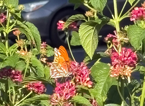
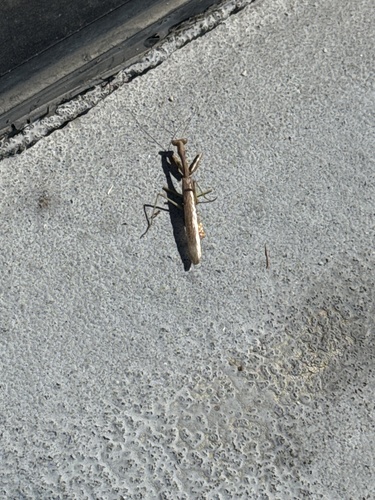
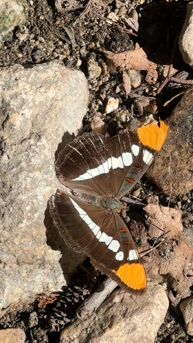
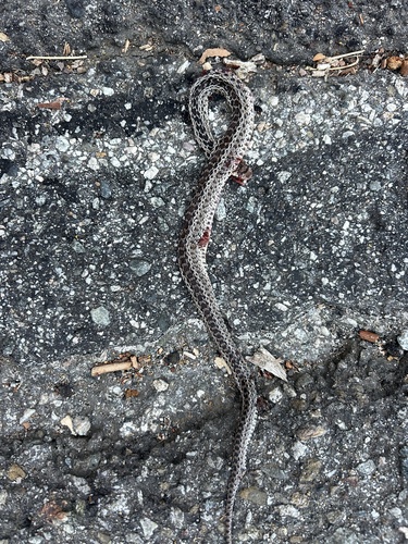
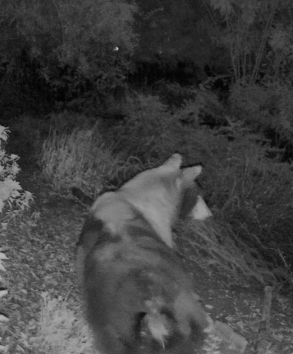
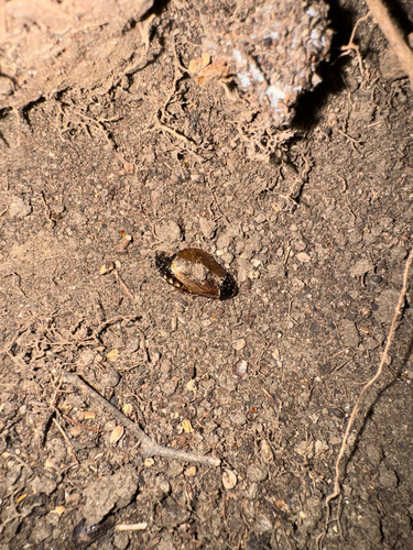
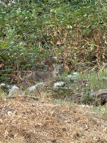
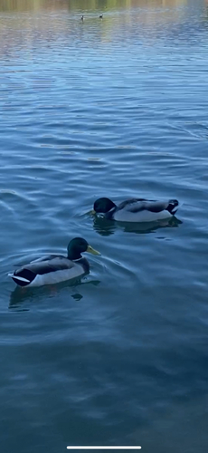
Research-grade observations from iNaturalist (within ~15 mi).
Nearest stream gauge
Events
Gallery
Sources
- • Wikipedia
- • US Census Bureau (ACS 5-year estimates)
- • NOAA National Weather Service
- • Wikidata
- • NCES via Urban Institute Education Data Portal
- • iNaturalist
- • CDC PLACES
- • Open-Meteo / sunrise-sunset.org
- • Wikipedia Pageviews API
- • Open Library
- • NASA EONET