Browse / United States / California / La Verne
La Verne
Californiacity

La Verne
Total population
30,600
Median home value
$817,000
Bachelor's+
Median income
$103,761
Demographic figures from US Census Bureau · ACS 5-year estimates. Overview below cites Wikipedia and may reference a different year.
- Extreme Heat Warning · SevereExtreme Heat Warning issued October 1 at 12:17PM PDT until October 8 at 8:00PM PDT by NWS Los Angeles/Oxnard CA
Source: NOAA National Weather Service.
City facts
Facts from Wikidata (CC0).
Overview
La Verne is a suburban city in the San Gabriel Valley of Los Angeles County, California, United States. The population was 31,334 at the 2020 census.
Read more on WikipediaHistory & geography
History
The area was home to Native Americans. The European history of the area dates back to the 1830s when Ygnacio Palomares and Ricardo Véjar received the Rancho San Jose land grant from Governor Juan Bautista Alvarado in 1837. The land included the present day cities Pomona, Claremont, San Dimas, Glendora, and La Verne. The adobe that Palomares built in 1837 is still preserved in Pomona as La Casa Primera de Rancho San Jose (The First House). Palomares soon moved a mile or so northeast and constructed the Ygnacio Palomares Adobe. He ensured that a nephew, Jose Dolores Palomares, secured a tract of land a mile west. In the mid-1880s, entrepreneur Isaac W. Lord purchased a tract of Jose Palomares' land and convinced the Santa Fe Railroad company to run its line across towards Los Angeles. Lord had the land surveyed for building lots and in 1887 had a large land sale, naming the new town 'Lordsburg' after himself. He also had a large Lordsburg Hotel constructed, but the land boom was over when it was completed. It sat empty for several years until sold to four members of the German Baptist Brethren Church, who persuaded others of that denomination that it would be an excellent site for a new institution of higher learning. Lordsburg College was founded in 1891. In 1906 the town was incorporated as "La Verne." Residents grew field crops, and then began planting citrus trees, which flourished. Lordsburg became known as the "Heart of the Orange Empire." The city of La Verne flourished as a center of the citrus industry until after World War II, when the citrus industry slowly faded away. Two orange groves are on the grounds of the La Verne Heritage Foundation.
Geography
La Verne is a suburb east of Los Angeles, located in the Pomona Valley below the foothills of the San Gabriel Mountains part of the Angeles National Forest, a habitat known to support black bears. According to the United States Census Bureau, the city has a total area of .
Excerpted from the corresponding Wikipedia article (CC BY-SA).
Demographics & economy
Race & ethnicity
Source: US Census Bureau — American Community Survey, 5-year estimates.
Geography
Coordinates & boundaries from the US Census TIGER/Line shapefiles.
Climate
Current forecast
Forecast for La Verne, CA from NOAA NWS API.
Air quality
Industrial & pollution facilities
Natural hazard risk
Health (adults)
Age-adjusted prevalence estimates from CDC PLACES (latest release).
Walkability
Amenities nearby
Wildlife & biodiversity
Schools
Largest nearby schools
- Glendora HighHigh · Glendora · 2,273 students · 25:1 ratio
- Claremont HighHigh · Claremont · 2,256 students · 24.8:1 ratio
- Walnut HighHigh · Walnut · 2,158 students · 23.2:1 ratio
- West Covina HighHigh · West Covina · 1,887 students · 21.4:1 ratio
- Bonita HighHigh · La Verne · 1,883 students · 25.8:1 ratio
- Garey HighHigh · Pomona · 1,666 students · 22.2:1 ratio
- South Hills HighHigh · West Covina · 1,640 students · 24.8:1 ratio
- Diamond Ranch HighHigh · Pomona · 1,547 students · 23.4:1 ratio
Public K–12 schools within ~10 mi from Urban Institute Education Data Portal (NCES Common Core of Data, 2022).
Earthquake history
Photos
Sights & places nearby
Notable people from here


People born within ~10 km, from Wikidata (CC0). Click any name for their Wikipedia article.
Nearby places in California
- Duarte10.7 mi away · pop. 22,184
- Bradbury11.6 mi away
- La Puente12.1 mi away · pop. 38,062
- Mayflower Village13.7 mi away
- Avocado Heights14.2 mi away
- La Habra Heights15.2 mi away
- East Pasadena17.6 mi away
- Lytle Creek17.6 mi away
- East Whittier18.5 mi away
- Bloomington21.5 mi away · pop. 25,698
- Home Gardens22.3 mi away
- Commerce23.4 mi away · pop. 11,993
Geography & sun
Elevation, sunrise/sunset and daylight from Open-Meteo. Solar climatology from NASA POWER.
Nearby airports
Public attention
Pageview totals from the Wikimedia Pageviews API.
Books about La Verne

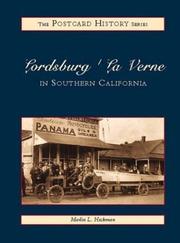
Search results from Open Library.
Recent natural events nearby
- Wildfire RIDGE, Los Angeles, CaliforniaWildfires · 2026-08-07 · 76 mi
- Wildfire BUZZARD, Kern, CaliforniaWildfires · 2026-08-05 · 85 mi
- Wildfire PLAINS, San Luis Obispo, CaliforniaWildfires · 2026-08-12 · 155 mi
- Prescribed Fire CRAWFORD CORRAL RX, Tulare, CaliforniaWildfires · 2026-09-19 · 184 mi
- Wildfire Plaskett, Monterey, CaliforniaWildfires · 2026-08-26 · 240 mi
Wildfires, storms and other events from NASA EONET (last 12 months, within 250 mi).
Ground air-quality sensors
Recently spotted species
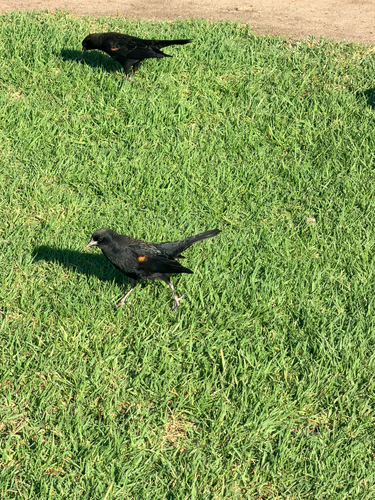
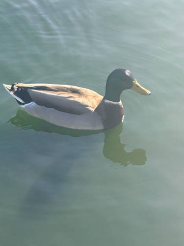
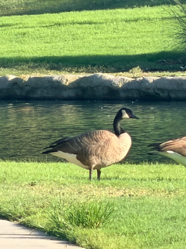
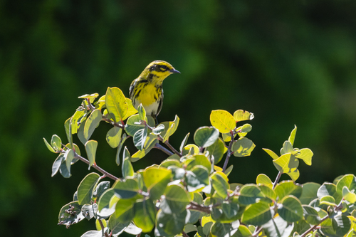
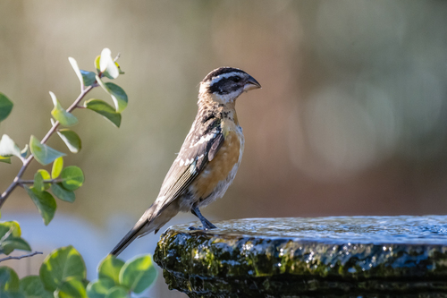
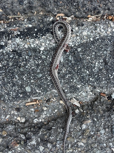
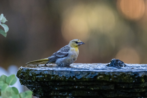
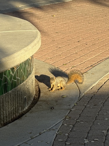
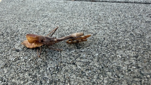
Research-grade observations from iNaturalist (within ~15 mi).
Nearest stream gauge
Events
Gallery
Sources
- • Wikipedia
- • US Census Bureau (ACS 5-year estimates)
- • NOAA National Weather Service
- • Wikidata
- • NCES via Urban Institute Education Data Portal
- • iNaturalist
- • CDC PLACES
- • Open-Meteo / sunrise-sunset.org
- • Wikipedia Pageviews API
- • Open Library
- • NASA EONET