Browse / United States / California / Cypress
Cypress
Californiacity

Cypress
Total population
49,498
Median home value
$913,900
Bachelor's+
Median income
$130,215
Demographic figures from US Census Bureau · ACS 5-year estimates. Overview below cites Wikipedia and may reference a different year.
- Extreme Heat Warning · SevereExtreme Heat Warning issued October 1 at 1:12PM PDT until October 8 at 8:00PM PDT by NWS San Diego CA
Source: NOAA National Weather Service.
City facts
Facts from Wikidata (CC0).
Overview
Cypress is a city in northwestern Orange County, California. Its population was 50,151 as of the 2020 census.
Read more on WikipediaHistory & geography
History
Cypress originally was nicknamed "Waterville" due to the preponderance of artesian wells in the area, but was incorporated under the name Dairy City in 1956 by local dairy farmers as a means of staving off developers and to preserve their dairies, much like the then-neighboring cities of Dairy Valley in Cerritos and Dairyland in La Palma. After World War II, however, the land became too valuable for farming or ranching, and the dairies gradually sold out to housing developers during the 1960s, so that by the 1970s no dairies remained. Many of the dairymen moved their operations to Chino, where development is once again pushing them out of the area. In 1957, local residents voted to change the name of "Dairy City" to "Cypress". The name was taken from Cypress Elementary School (originally built in 1895) which took its name from the cypress trees planted to protect the schoolhouse from the seasonal Santa Ana winds. Cypress Elementary School also provided the name for new Pacific Electric Railway station on Walker Street at Lincoln Avenue when the Santa Ana Line was completed in 1906, as "Waterville" already had been used elsewhere in the system. In 1981, the City of Cypress inaugurated an annual birthday celebration for the city. The event, the Cypress Community Festival, currently may be the largest single-day event of its kind in Orange County, California. The Cypress Community Festival is held annually on the 4th Saturday in July at Oak Knoll Park, located adjacent to the Cypress Community Center at 5700 Orange Avenue, between Valley View Street and Walker Avenue.
Geography
According to the United States Census Bureau, the city has a total area of . of it is land and 0.14% is water.
Excerpted from the corresponding Wikipedia article (CC BY-SA).
Demographics & economy
Race & ethnicity
Source: US Census Bureau — American Community Survey, 5-year estimates.
Geography
Coordinates & boundaries from the US Census TIGER/Line shapefiles.
Climate
Current forecast
Forecast for Cypress, CA from NOAA NWS API.
Air quality
Industrial & pollution facilities
Natural hazard risk
Health (adults)
Age-adjusted prevalence estimates from CDC PLACES (latest release).
Walkability
Amenities nearby
Wildlife & biodiversity
Most-observed species
- House FinchHaemorhous mexicanus (P.L.Statius Müller, 1776) · Aves64,037
- Black PhoebeSayornis nigricans (Swainson, 1827) · Aves60,953
- American CrowCorvus brachyrhynchos C.L.Brehm, 1822 · Aves56,216
- Allen's HummingbirdSelasphorus sasin (R.Lesson, 1829) · Aves49,515
- MallardAnas platyrhynchos Linnaeus, 1758 · Aves47,785
- Mourning DoveZenaida macroura (Linnaeus, 1758) · Aves46,329
- Yellow-rumped WarblerSetophaga coronata (Linnaeus, 1766) · Aves39,307
- Lesser GoldfinchSpinus psaltria (Say, 1822) · Aves38,888
Citizen-science & research observations from the Global Biodiversity Information Facility (GBIF).
Schools
Largest nearby schools
- Fountain Valley HighHigh · Fountain Valley · 3,180 students · 26.3:1 ratio
- Los Alamitos HighHigh · Los Alamitos · 3,055 students · 25.5:1 ratio
- Cypress HighHigh · Cypress · 2,820 students · 24.5:1 ratio
- Anaheim HighHigh · Anaheim · 2,750 students · 21:1 ratio
- Westminster HighHigh · Westminster · 2,637 students · 24.2:1 ratio
- Katella HighHigh · Anaheim · 2,587 students · 23.5:1 ratio
- Troy HighHigh · Fullerton · 2,584 students · 23.7:1 ratio
- Sunny Hills HighHigh · Fullerton · 2,429 students · 27:1 ratio
Public K–12 schools within ~10 mi from Urban Institute Education Data Portal (NCES Common Core of Data, 2022).
Earthquake history
Most recent
- M 2.77 — 2026-10-153 km NNW of San Jacinto, CA
- M 3.16 — 2026-10-092 km SW of Signal Hill, CA
- M 2.7 — 2026-10-082 km WNW of Fontana, CA
- M 2.51 — 2026-10-0531 km SW of Dana Point, CA
- M 2.81 — 2026-10-0532 km SW of Dana Point, CA
- M 3.48 — 2026-10-0531 km SW of Dana Point, CA
Events from the USGS Earthquake Catalog (global) (FDSN Event Web Service).
Photos
Sights & places nearby
Notable people from here


People born within ~10 km, from Wikidata (CC0). Click any name for their Wikipedia article.
Nearby places in California
- Los Alamitos2 mi away · pop. 11,794
- Hawaiian Gardens2.2 mi away · pop. 13,691
- Cerritos3.8 mi away · pop. 47,867
- Artesia4.2 mi away
- East Whittier7.9 mi away
- Rowland Heights13.5 mi away · pop. 45,911
- Commerce13.7 mi away · pop. 11,993
- North Tustin14.5 mi away
- Avocado Heights15.4 mi away
- La Puente15.6 mi away · pop. 37,142
- Florence-Graham15.7 mi away · pop. 60,690
- East Los Angeles16.5 mi away
Geography & sun
Elevation, sunrise/sunset and daylight from Open-Meteo. Solar climatology from NASA POWER.
Nearby airports
Public attention
Pageview totals from the Wikimedia Pageviews API.
Books about Cypress


Search results from Open Library.
Recent natural events nearby
- Wildfire BOUQUET, Los Angeles, CaliforniaWildfires · 2026-10-03 · 55 mi
- Wildfire RIDGE, Los Angeles, CaliforniaWildfires · 2026-08-07 · 81 mi
- Wildfire BUZZARD, Kern, CaliforniaWildfires · 2026-08-05 · 90 mi
- Wildfire CYRUS, Kern, CaliforniaWildfires · 2026-10-09 · 132 mi
- Cyclone RachelSevere Storms · 2026-10-11 · 151 mi
- Wildfire PLAINS, San Luis Obispo, CaliforniaWildfires · 2026-08-12 · 157 mi
- Prescribed Fire CRAWFORD CORRAL RX, Tulare, CaliforniaWildfires · 2026-09-19 · 199 mi
- Wildfire Plaskett, Monterey, CaliforniaWildfires · 2026-08-26 · 240 mi
Wildfires, storms and other events from NASA EONET (last 12 months, within 250 mi).
Ground air-quality sensors
Recently spotted species
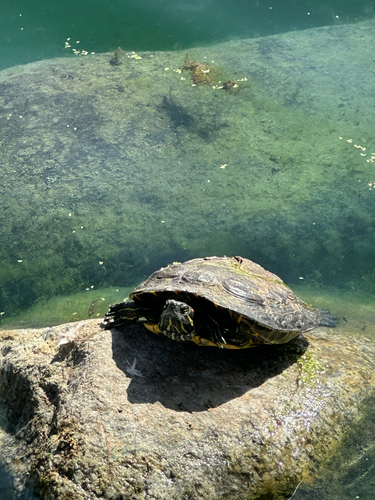
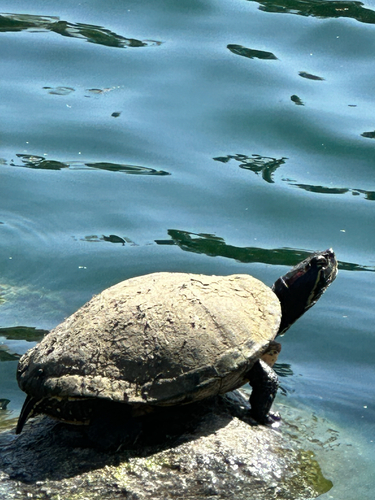
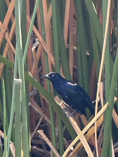
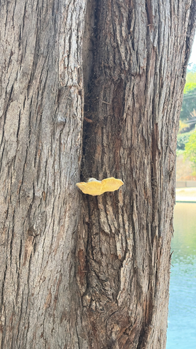
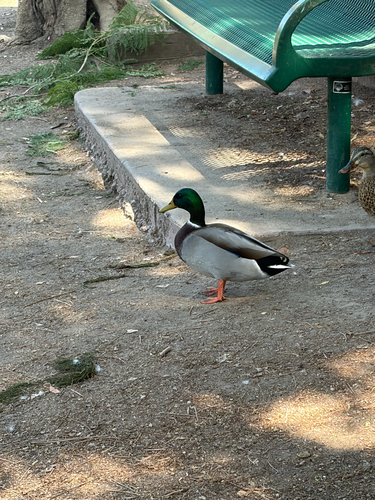
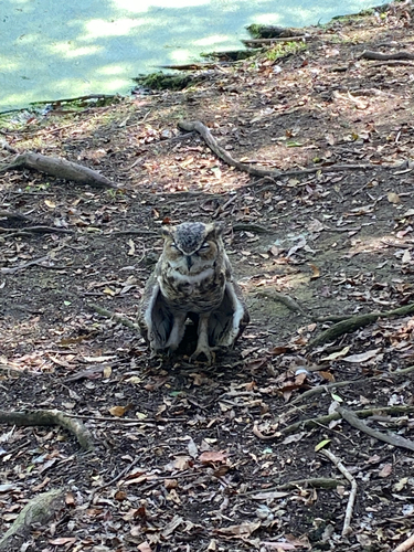
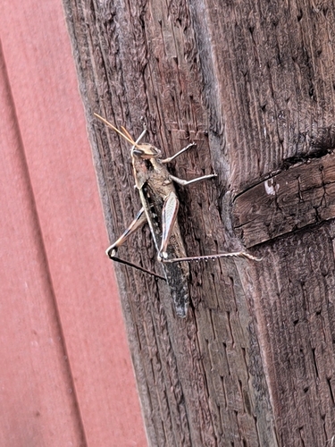
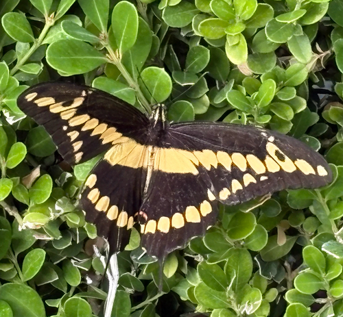
Research-grade observations from iNaturalist (within ~15 mi).
Nearest stream gauge
Events
Gallery
Sources
- • Wikipedia
- • US Census Bureau (ACS 5-year estimates)
- • NOAA National Weather Service
- • Wikidata
- • USGS Earthquake Catalog (global feed)
- • NCES via Urban Institute Education Data Portal
- • GBIF (Global Biodiversity Information Facility)
- • iNaturalist
- • CDC PLACES
- • Open-Meteo / sunrise-sunset.org
- • Wikipedia Pageviews API
- • Open Library
- • NASA EONET