Browse / United States / California / Los Alamitos
Los Alamitos
Californiacity

Los Alamitos
Total population
11,794
Median home value
$1,061,900
Bachelor's+
Median income
$97,155
Demographic figures from US Census Bureau · ACS 5-year estimates. Overview below cites Wikipedia and may reference a different year.
- Extreme Heat Warning · SevereExtreme Heat Warning issued October 1 at 1:12PM PDT until October 8 at 8:00PM PDT by NWS San Diego CA
Source: NOAA National Weather Service.
City facts
Facts from Wikidata (CC0).
Overview
Los Alamitos is a city in Orange County, California, United States. It was incorporated in March 1960. Its population was 11,780 in the 2020 census, up from 11,449 in 2010. A significant part of the city is occupied by Joint Forces Training Base – Los Alamitos, and it hosts the USA Water Polo National Aquatic Center.
Read more on WikipediaHistory & geography
History
The Tongva inhabited the area before the city was established, and Rancho Los Alamitos was known as the village of Puvunga. The area is still sacred to the Tongva people. The town of Los Alamitos was established in 1896 by Lewellyn Bixby to support a new sugar-beet factory built by the Clark brothers. William Andrews Clark, a future Senator from Montana, had built his fortune in mining, banking and logging in that state. His younger brother, J. Ross Clark, managed their operations in California after he moved there for health reasons. Lewellyn Bixby, whose family owned the surrounding land on Rancho Los Cerritos and Rancho Los Alamitos, had been trying to build a sugar beet factory in that area for several years. Due to financial losses during the 1880s, he no longer had the money to build the factory complex on his own. Bixby had made a fortune in the 1850s when he and cousins Benjamin and Thomas Flint formed Flint, Bixby & Co. to deal in mutton and wool on Rancho San Justo, south of San Jose. After selling wool to the government during the Civil War, the Flints and Bixby bought land in southern California; this included the future Irvine Ranch and Rancho Los Cerritos, which is much of the western half of Long Beach. Flint, Bixby hired Lewellyn's younger brother, Jotham, to manage the Cerritos. When the company broke up, Lewellyn assumed their southern California properties, moved to Los Angeles and became the senior partner with Jotham. Around 1881, cousin John W. Bixby wanted to purchase Rancho Los Alamitos with a consortium which included Lewellyn and Jotham and banker Isaias W. Hellman. When John died on May 7, 1887, the ranch was divided among the three families. The northern third, adjacent to the Rancho Los Cerritos (roughly north of present-day Orangewood…
Geography
Los Alamitos is bordered by Cypress on the north and east, West Garden Grove on the east, and Seal Beach on the south. The census-designated place of Rossmoor is bordered by Los Alamitos on the north, east, and west. The city shares a northwestern border with Long Beach's El Dorado Park neighborhood. Coyote Creek separates Los Alamitos from Long Beach. The most common native plant species are hairy sand verbena, red sand verbena, and pink sand verbena. Los Alamitos' USDA hardiness zone is 9, and its Sunset climate zone is 22.
Excerpted from the corresponding Wikipedia article (CC BY-SA).
Demographics & economy
Race & ethnicity
Source: US Census Bureau — American Community Survey, 5-year estimates.
Geography
Coordinates & boundaries from the US Census TIGER/Line shapefiles.
Climate
10-year averages from ERA5 reanalysis (Open-Meteo).
Current forecast
Forecast for Los Alamitos, CA from NOAA NWS API.
Air quality
Industrial & pollution facilities
Natural hazard risk
Health (adults)
Age-adjusted prevalence estimates from CDC PLACES (latest release).
Walkability
Amenities nearby
Wildlife & biodiversity
Schools
Largest nearby schools
- Fountain Valley HighHigh · Fountain Valley · 3,180 students · 26.3:1 ratio
- Los Alamitos HighHigh · Los Alamitos · 3,055 students · 25.5:1 ratio
- Cypress HighHigh · Cypress · 2,820 students · 24.5:1 ratio
- Huntington Beach HighHigh · Huntington Beach · 2,807 students · 26.2:1 ratio
- Anaheim HighHigh · Anaheim · 2,750 students · 21:1 ratio
- Westminster HighHigh · Westminster · 2,637 students · 24.2:1 ratio
- Sunny Hills HighHigh · Fullerton · 2,429 students · 27:1 ratio
- Garden Grove HighHigh · Garden Grove · 2,247 students · 24.2:1 ratio
Public K–12 schools within ~10 mi from Urban Institute Education Data Portal (NCES Common Core of Data, 2022).
Earthquake history
Photos
Sights & places nearby
Notable people from here
Nearby places in California
- Cypress2 mi away · pop. 49,498
- Hawaiian Gardens2.4 mi away · pop. 13,691
- Cerritos4.9 mi away · pop. 47,867
- Artesia5 mi away
- East Whittier9.7 mi away
- Cudahy13.5 mi away · pop. 22,811
- Commerce14.6 mi away · pop. 11,993
- North Tustin15.5 mi away
- Florence-Graham15.8 mi away · pop. 60,690
- Alondra Park17 mi away
- Avocado Heights17.1 mi away
- East Los Angeles17.3 mi away
Geography & sun
Elevation, sunrise/sunset and daylight from Open-Meteo. Solar climatology from NASA POWER.
Nearby airports
Public attention
Pageview totals from the Wikimedia Pageviews API.
Books about Los Alamitos


Search results from Open Library.
Recent natural events nearby
- Wildfire RIDGE, Los Angeles, CaliforniaWildfires · 2026-08-07 · 82 mi
- Wildfire BUZZARD, Kern, CaliforniaWildfires · 2026-08-05 · 91 mi
- Wildfire FISH, Kern, CaliforniaWildfires · 2026-07-27 · 108 mi
- Wildfire PLAINS, San Luis Obispo, CaliforniaWildfires · 2026-08-12 · 157 mi
- Prescribed Fire CRAWFORD CORRAL RX, Tulare, CaliforniaWildfires · 2026-09-19 · 200 mi
- Wildfire Plaskett, Monterey, CaliforniaWildfires · 2026-08-26 · 239 mi
Wildfires, storms and other events from NASA EONET (last 12 months, within 250 mi).
Ground air-quality sensors
Recently spotted species
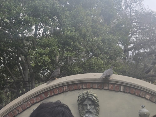
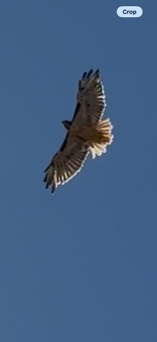
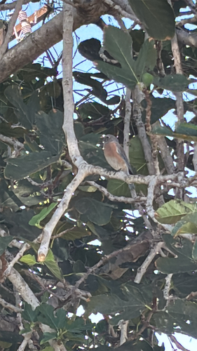
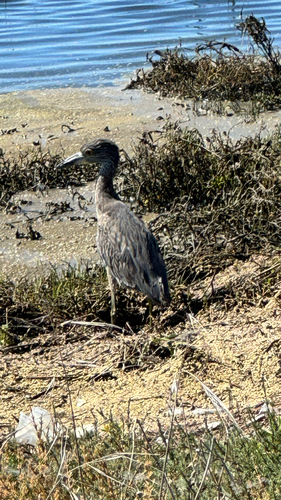
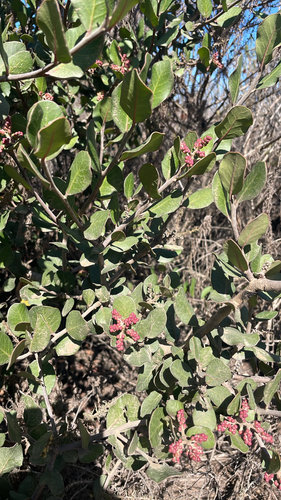
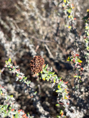
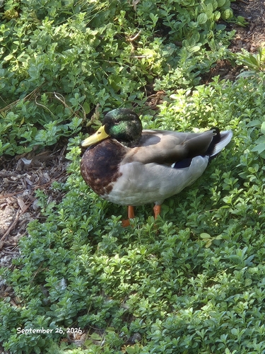
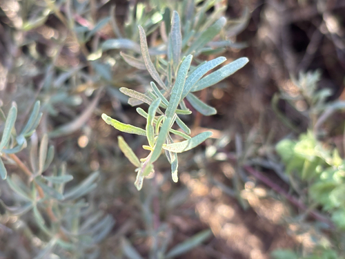
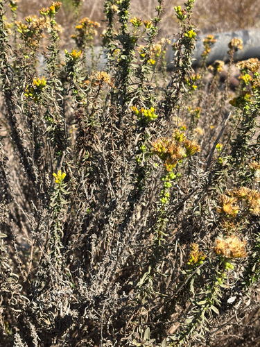
Research-grade observations from iNaturalist (within ~15 mi).
Nearest stream gauge
Events
Gallery
Sources
- • Wikipedia
- • US Census Bureau (ACS 5-year estimates)
- • Open-Meteo (ERA5 reanalysis)
- • NOAA National Weather Service
- • Wikidata
- • NCES via Urban Institute Education Data Portal
- • iNaturalist
- • CDC PLACES
- • Open-Elevation
- • Open-Meteo / sunrise-sunset.org
- • Wikipedia Pageviews API
- • Open Library
- • NASA EONET