Browse / Canada / Alberta / Calgary
Calgary
Albertacity

Calgary
Total population
1,267,344
Founded
1884
Air quality index
Demographic figures from Statistics Canada. Overview below cites Wikipedia and may reference a different year.
City facts
Facts from Wikidata (CC0).
Overview
Calgary is the largest city in the Canadian province of Alberta. As of 2021, the city proper had a population of 1,306,784 and a metropolitan population of 1,481,806, making Calgary the third-largest city and the fifth-largest metropolitan area in Canada.
Read more on WikipediaHistory & geography
History
The Calgary area was inhabited by pre-Clovis people whose presence traces back at least 11,000 years. The area has been inhabited by multiple First Nations, the Niitsitapi (Blackfoot Confederacy; Siksika, Kainai, Piikani), îyârhe Nakoda, Tsuutʼina peoples and, under the Otipemisiwak Métis Government Constitution, the Calgary Nose Hill Métis and Calgary Elbow Métis Districts (previously known as Métis Nation, Region 3). In 1787, David Thompson, a 17-year-old cartographer with the Hudson's Bay Company (HBC), spent the winter with a band of Piikani Nation encamped along the Bow River. He was also a fur trader and surveyor and the first recorded European to visit the area. John Glenn was the first documented European settler in the Calgary area, in 1873. In spring 1875, three priests Lacombe, Remus, and Scollen built a small log cabin on the banks of the Elbow River. In the fall of 1875, the site became a post of the North-West Mounted Police (NWMP) (now the Royal Canadian Mounted Police or RCMP). The NWMP detachment was assigned to protect the western plains from US whisky traders, and to protect the fur trade, and Inspector Éphrem-A. Brisebois led fifty Mounties as part of F Troop north from Fort Macleod to establish the site. The I. G. Baker Company of Fort Benton, Montana, was contracted to construct a suitable fort, and after its completion, the Baker company built a log store next to the fort. The NWMP fort remained officially nameless until construction was complete, although it had been referred to as "The Mouth" by people at Fort Macleod. At Christmas dinner NWMP Inspector Éphrem-A. Brisebois christened the unnamed Fort "Fort Brisebois", a decision which caught the ire of his superiors Colonel James Macleod and Major Acheson Irvine. Major Irvine cancelled the…
Geography
Calgary is in southwestern Alberta and also next to the Rocky Mountains, lying in the transition zone between the Canadian Rockies Foothills and the Canadian Prairies. The city lies within the foothills of the Parkland Natural Region and the Grasslands Natural Region. Calgary is about east of the Canadian Rockies themselves, south of Edmonton, approximately north of the border with the United States, northwest of Medicine Hat, and northeast of Spokane, the second-largest city in the U.S. state of Washington. The city is at the southern end of the Calgary–Edmonton Corridor, a Statistics Canada-defined urban region. Downtown Calgary is about above sea level, and the airport is . In 2016, the city covered a land area of . Two rivers and two creeks run through the city. The Bow River is the larger, and it flows from the west to the south. The Elbow River flows northwards from the south until it converges with the Bow River at the historic site of Fort Calgary near downtown. Nose Creek flows into Calgary from the northwest, then south to join the Bow River several kilometres east of the Elbow-Bow confluence. Fish Creek flows into Calgary from the southwest and converges with the Bow River near McKenzie Lake. The City of Calgary consists of an inner city surrounded by suburban communities of various density. The city is immediately surrounded by two municipal districts – Foothills County to the south and Rocky View County to the north, west and east. Proximate urban communities beyond the city within the Calgary Metropolitan Region include: the City of Airdrie to the north; the City of Chestermere, the Town of Strathmore and the Hamlet of Langdon to the east; the towns of Okotoks and High River to the south; and the Town of Cochrane to the northwest. Numerous rural…
Excerpted from the corresponding Wikipedia article (CC BY-SA).
Geography
Coordinates & boundaries from the US Census TIGER/Line shapefiles.
Climate
10-year averages from ERA5 reanalysis (Open-Meteo).
Air quality
Current readings from Open-Meteo Air Quality API (Copernicus CAMS European reanalysis).
Walkability
Amenities nearby
Wildlife & biodiversity
Most-observed species
- Black-billed MagpiePica hudsonia (Sabine, 1823) · Aves93,391
- Black-capped ChickadeePoecile atricapillus (Linnaeus, 1766) · Aves82,345
- Northern FlickerColaptes auratus (Linnaeus, 1758) · Aves68,488
- MallardAnas platyrhynchos Linnaeus, 1758 · Aves67,890
- Canada Goose (canadensis Group)Branta canadensis (Linnaeus, 1758) · Aves57,452
- House SparrowPasser domesticus (Linnaeus, 1758) · Aves55,485
- American RobinTurdus migratorius Linnaeus, 1766 · Aves53,490
- Downy WoodpeckerDryobates pubescens (Linnaeus, 1766) · Aves51,099
Citizen-science & research observations from the Global Biodiversity Information Facility (GBIF).
Earthquake history
Most recent
- M 3.6 — 2002-07-2829 km SSE of Canmore, Canada
Events from the USGS Earthquake Catalog (global) (FDSN Event Web Service).
Photos
Sights & places nearby
Notable people from here


People born within ~10 km, from Wikidata (CC0). Click any name for their Wikipedia article.
Nearby places in Alberta
- Delacour14.5 mi away
- De Winton15.4 mi away
- Redwood Meadows19.8 mi away
- Albertina20.5 mi away
- Keoma21.2 mi away
- Fairview Hutterite Colony26.5 mi away
- Madden28.4 mi away
- Mountain View Hutterite Colony28.5 mi away
- Beiseker Hutterite Colony28.6 mi away
- Carseland28.9 mi away
- Naphtha29.6 mi away
- CottageClub Ghost Lake30.7 mi away
Geography & sun
Elevation, sunrise/sunset and daylight from Open-Meteo. Solar climatology from NASA POWER.
Nearby airports
Public attention
Pageview totals from the Wikimedia Pageviews API.
Books about Calgary


Search results from Open Library.
Recent natural events nearby
- Wildfire Parker Lake, Boundary, IdahoWildfires · 2026-08-23 · 189 mi
- Wildfire Silver, Boundary, IdahoWildfires · 2026-08-23 · 203 mi
- Wildfire Deer Creek, Lincoln, MontanaWildfires · 2026-08-20 · 205 mi
Wildfires, storms and other events from NASA EONET (last 12 months, within 250 mi).
Ground air-quality sensors
Recently spotted species
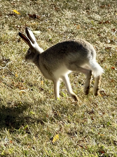
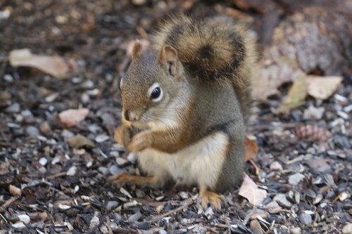
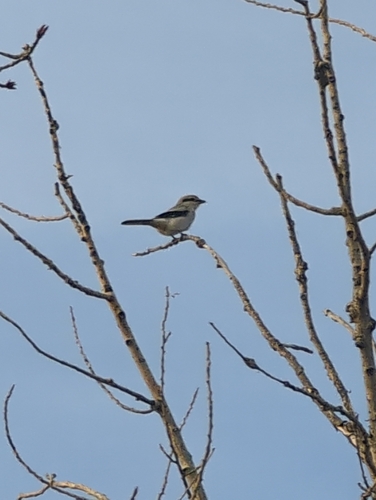
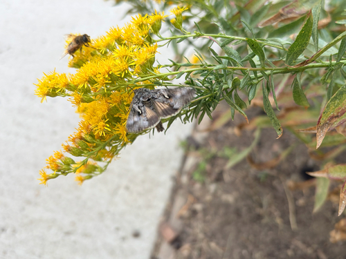
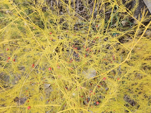
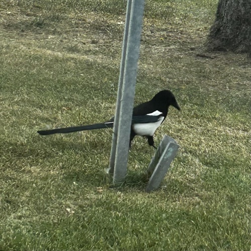
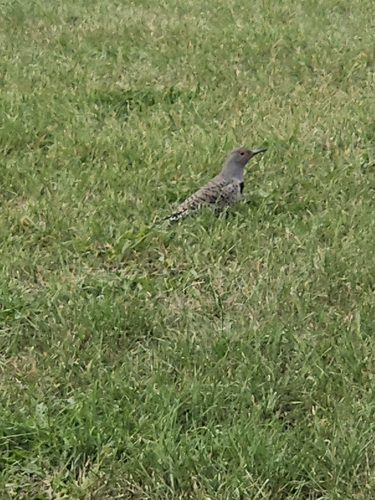
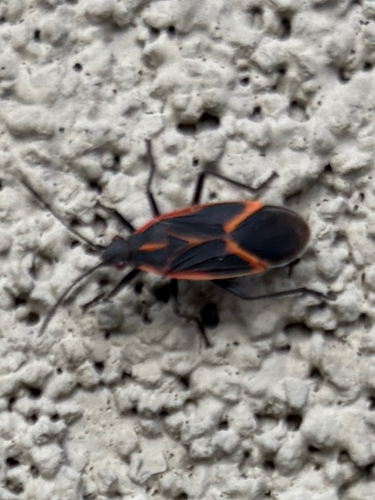
Research-grade observations from iNaturalist (within ~15 mi).
Events
Notable, recurring, and historical events associated with Calgary, sourced from Wikidata.
- Jul 1, 2026
- Q56405998Dec 3, 2017sporting event
- Q56406006Dec 3, 2017sporting event
- Q56406025Dec 3, 2017sporting event
- Q56406071Dec 3, 2017sporting event
- 2017–18 ISU Speed Skating World Cup – World Cup 3Dec 3, 2017sporting event
- Q56406073Dec 2, 2017sporting event
- Q56406407Dec 2, 2017sporting event
- Q56405889Dec 1, 2017sporting event
- Q56405904Dec 1, 2017sporting event
- Q56405916Dec 1, 2017sporting event
- Q56405930Dec 1, 2017sporting event
- May 7, 2016
- Jan 20, 2013
- Face-off in the FoothillsFeb 1, 2011sporting event
series of ice hockey games coinciding with the 2011 Heritage Classic
- Jul 1, 2005
- Con-Versionrecurring event
Source: Wikidata (CC0).
Gallery
Geotagged photos within ~6 miles of Calgary, from Wikimedia Commons contributors.

.jpg)
.jpg)

.jpg)

.jpg)
.jpg)
.jpg)
.jpg)
.jpg)
.jpg)
.jpg)
.jpg)
.jpg)

.jpg)
.jpg)
.jpg)
.jpg)
.jpg)
.jpg)
.jpg)
.jpg)
Photos via Wikimedia Commons — see each image page for license & attribution.
Official Identifiers
StatCan — Statistics Canada
- SGC code
- 4806016
- Population (Wikidata)
- 1,306,784
- Wikidata
- Q36312
Standard Geographical Classification (SGC) via Wikidata P3012
Sources
- • Wikipedia
- • Open-Meteo (ERA5 reanalysis)
- • Wikimedia Commons
- • Wikidata
- • Open-Meteo Air Quality (CAMS)
- • USGS Earthquake Catalog (global feed)
- • GBIF (Global Biodiversity Information Facility)
- • iNaturalist
- • Open-Elevation
- • Open-Meteo / sunrise-sunset.org
- • Wikipedia Pageviews API
- • Open Library
- • NASA EONET
- • StatCan — Statistics Canada — Standard Geographical Classification (SGC) via Wikidata P3012