Browse / United States / California / Calpella
Calpella
CaliforniaCDP

Calpella
Total population
474
Median home value
$580,800
Bachelor's+
Median income
$86,912
Demographic figures from US Census Bureau · ACS 5-year estimates. Overview below cites Wikipedia and may reference a different year.
City facts
Facts from Wikidata (CC0).
Overview
Calpella is an unincorporated community and census-designated place (CDP) in Mendocino County, California, United States. It is located on the Russian River, 6 miles (10 km) north of Ukiah. It is situated within the Ukiah Valley, at the intersection of U.S. Route 101 and State Route 20. The population was 799 at the 2020 census, up from 679 in 2010. The small town is the site of the Mendocino Redwood Company mill and offices, which controls ten percent of the private land in the county.
Read more on WikipediaHistory & geography
History
Col. C.H. Veeder and James Pettus, Veeder's son-in-law, founded the town in 1858. His name comes from Northern Pomo khál phíila, meaning "carrying mussels down". For a time, it rivaled Ukiah in importance. The Calpella post office opened in 1860, closed in 1868, reopened in 1872, was discontinued for a time, and moved in 1920.
Geography
Calpella is in southeastern Mendocino County, north of Ukiah, the county seat, south of Willits, and northwest of Lakeport. According to the United States Census Bureau, the Calpella CDP covers an area of , of which 99.07% is land and 0.93% is water. The Russian River flows north-to-south through the center of the community, and the CDP extends eastward to the west shore of Lake Mendocino, a reservoir on the East Fork of the Russian River. U.S. Route 101 passes through the western portion of the CDP, and California State Route 20 forms the CDP's northern edge. This region experiences warm (but not hot) and dry summers, with no average monthly temperatures above . According to the Köppen Climate Classification system, Calpella has a warm-summer Mediterranean climate, abbreviated "Csb" on climate maps.
Excerpted from the corresponding Wikipedia article (CC BY-SA).
Demographics & economy
Race & ethnicity
Source: US Census Bureau — American Community Survey, 5-year estimates.
Geography
Coordinates & boundaries from the US Census TIGER/Line shapefiles.
Climate
Current forecast
Forecast for Calpella, CA from NOAA NWS API.
Air quality
Industrial & pollution facilities
Natural hazard risk
Health (adults)
Age-adjusted prevalence estimates from CDC PLACES (latest release).
Walkability
Amenities nearby
Wildlife & biodiversity
Most-observed species
- Common RavenCorvus corax Linnaeus, 1758 · Aves6,738
- California TowheeMelozone crissalis (Vigors, 1839) · Aves6,435
- Anna's HummingbirdCalypte anna (R.Lesson, 1829) · Aves6,417
- California/Woodhouse's Scrub-JayAphelocoma californica (Vigors, 1839) · Aves6,373
- Acorn WoodpeckerMelanerpes formicivorus (Swainson, 1827) · Aves5,497
- House FinchHaemorhous mexicanus (P.L.Statius Müller, 1776) · Aves5,351
- Dark-eyed JuncoJunco hyemalis (Linnaeus, 1758) · Aves4,910
- Turkey VultureCathartes aura (Linnaeus, 1758) · Aves4,853
Citizen-science & research observations from the Global Biodiversity Information Facility (GBIF).
Schools
Largest nearby schools
- Ukiah HighHigh · Ukiah · 1,679 students · 19.1:1 ratio
- Pomolita MiddleMiddle · Ukiah · 767 students · 19.7:1 ratio
- Eagle Peak MiddleMiddle · Redwood Valley · 539 students · 20.7:1 ratio
- Calpella ElementaryElementary · Ukiah · 476 students · 22.7:1 ratio
- Yokayo ElementaryElementary · Ukiah · 454 students · 25.2:1 ratio
- Frank Zeek ElementaryElementary · Ukiah · 452 students · 23.8:1 ratio
- Grace Hudson ElementaryElementary · Ukiah · 416 students · 23.1:1 ratio
- Oak Manor ElementaryElementary · Ukiah · 402 students · 23.6:1 ratio
Public K–12 schools within ~10 mi from Urban Institute Education Data Portal (NCES Common Core of Data, 2022).
Earthquake history
Photos
Sights & places nearby
Notable people from here


People born within ~10 km, from Wikidata (CC0). Click any name for their Wikipedia article.
Nearby places in California
Geography & sun
Elevation, sunrise/sunset and daylight from Open-Meteo. Solar climatology from NASA POWER.
Nearby airports
Public attention
Pageview totals from the Wikimedia Pageviews API.
Books about Calpella
Search results from Open Library.
Recent natural events nearby
Ground air-quality sensors
Recently spotted species
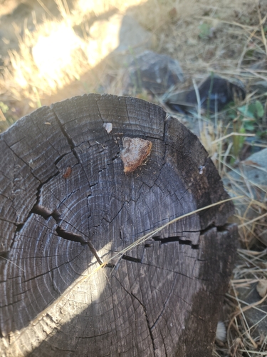
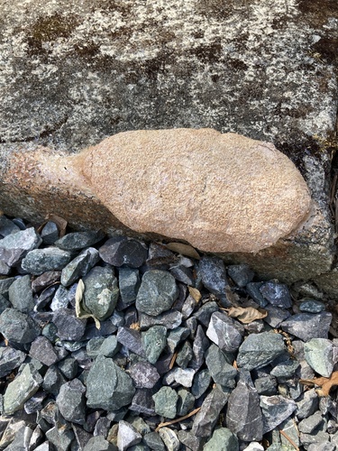
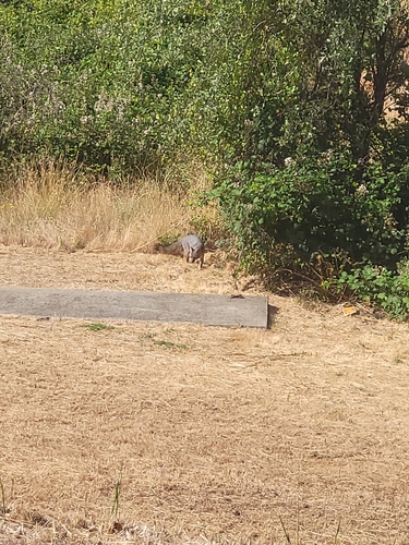
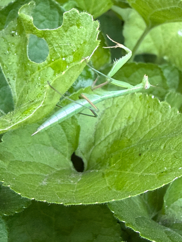
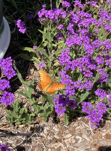
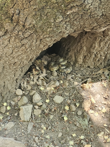
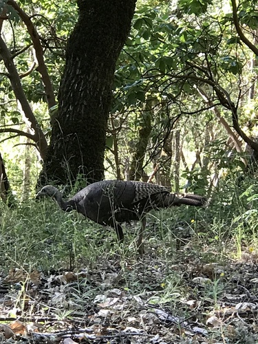
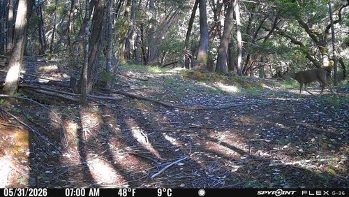
Research-grade observations from iNaturalist (within ~15 mi).
Nearest stream gauge
Events
Gallery
Geotagged photos within ~6 miles of Calpella, from Wikimedia Commons contributors.
 0.5 mi
 0.7 mi
 0.8 mi
 0.8 mi
 0.8 mi
 0.8 mi
 0.8 mi
 0.8 mi
 0.8 mi
 0.8 mi
 1.1 mi
 1.1 mi
 2.3 mi
 2.4 mi
 2.5 mi
 2.5 mi
 3.5 mi
 3.5 mi
 3.5 mi
 3.6 mi
 3.7 mi
 4.1 mi
.jpg) 4.3 mi
4.3 mi.jpg) 4.4 mi
4.4 miPhotos via Wikimedia Commons — see each image page for license & attribution.
Sources
- • Wikipedia
- • US Census Bureau (ACS 5-year estimates)
- • NOAA National Weather Service
- • Wikimedia Commons
- • Wikidata
- • NCES via Urban Institute Education Data Portal
- • GBIF (Global Biodiversity Information Facility)
- • iNaturalist
- • CDC PLACES
- • Open-Meteo / sunrise-sunset.org
- • Wikipedia Pageviews API
- • Open Library
- • Wikidata SPARQL (CC0) — population, area, elevation, inception, head of government, Commons image