Browse / United States / California / Caspar
Caspar
CaliforniaCDP

Caspar
Total population
279
Median home value
$1,009,100
Bachelor's+
Median income
$0
Demographic figures from US Census Bureau · ACS 5-year estimates. Overview below cites Wikipedia and may reference a different year.
City facts
Facts from Wikidata (CC0).
Overview
Caspar is an unincorporated community in Mendocino County, California, United States. It is located on the Pacific Ocean, 4 miles (6 km) north of Mendocino, at an elevation of 82 feet (25 m). It is bounded on three sides by state parks: the historic 1909 Point Cabrillo Light Station is nearby to the south, Jug Handle State Natural Reserve lies to the north, and its coast forms Caspar Headlands State Beach. The population was 500 at the 2020 census. For statistical purposes, the United States Census Bureau has defined Caspar as a census-designated place (CDP).
Read more on WikipediaHistory & geography
History
Caspar was settled in 1857 by Siegfried Caspar, who later sold the land to Jacob Green Jackson, one of the founders of the Caspar Lumber Company, which turned Caspar into a significant logging town in Northern California from 1864 to 1955. Pilings from the mill can be seen on Caspar Beach south of the community. The mill was featured on the cover of a 1938 National Geographic magazine. Multiple heirs to the Caspar Lumber Company sold their holdings to Georgia-Pacific and a pair of private investors in 1989. Ownership of the central parcels, consisting of more than and comprising much of "downtown Caspar", was taken over by the Caspar Cattle Company in 1997. The company's principal immediately offered the land for sale. This offer was facilitated by a professor and team of graduate student community planners from the University of California, Berkeley. The process early on committed to consensus and inclusive self-governance, and identified several sacred spaces, principal among them the headlands, once the site of the Caspar Lumber Company's mill, and managed the acquisition of the headlands parcel in partnership with the Trust for Public Land and the Mendocino Land Trust, which acquired the adjoining beach in 1999. Funded by a California State Coastal Conservancy grant in May 2000, The Caspar Schoolhouse, built in the late 1800s during Caspar's heyday, and expanded during the boom years after 1906, served as a Headstart school and a mail-order company office, then remained empty until it was sold by the Cattle Company to Caspar Community, Inc., the nonprofit entity that organized the community's campaign to preserve its sacred spaces. CCI continues to attempt to acquire the remainder of the property in accordance with the vision of the community since its…
Geography
Caspar is along the western edge of Mendocino County and is traversed by California State Route 1, which leads north to Fort Bragg and south to Mendocino. Caspar Creek crosses the southern part of the community, entering the Pacific Ocean at Caspar Anchorage, a small cove which is bordered by Caspar State Beach. According to the United States Census Bureau, the CDP covers an area of , all land. The census bureau definition of the area as a CDP may not precisely correspond to local understanding of the area with the same name.
Excerpted from the corresponding Wikipedia article (CC BY-SA).
Demographics & economy
Race & ethnicity
Source: US Census Bureau — American Community Survey, 5-year estimates.
Geography
Coordinates & boundaries from the US Census TIGER/Line shapefiles.
Climate
Current forecast
Forecast for Caspar, CA from NOAA NWS API.
Air quality
Industrial & pollution facilities
Natural hazard risk
Health (adults)
Walkability
Amenities nearby
Wildlife & biodiversity
Schools
Earthquake history
Photos
Sights & places nearby
Notable people from here


People born within ~10 km, from Wikidata (CC0). Click any name for their Wikipedia article.
Nearby places in California
- Mendocino3.6 mi away
- Cleone8.9 mi away · pop. 613
- Manchester27.5 mi away · pop. 184
- Philo28.1 mi away
- Point Arena31.7 mi away
- Potter Valley37.2 mi away
- Hopland45.8 mi away · pop. 983
- Garberville50.9 mi away · pop. 1,415
- North Lakeport51.6 mi away
- Lakeport52.3 mi away · pop. 5,113
- Nice53.3 mi away
- Phillipsville58.6 mi away
Geography & sun
Elevation, sunrise/sunset and daylight from Open-Meteo. Solar climatology from NASA POWER.
Nearby airports
Public attention
Pageview totals from the Wikimedia Pageviews API.
Books about Caspar

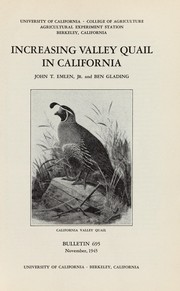
Search results from Open Library.
Recent natural events nearby
- Wildfire FELIZ, Mendocino, CaliforniaWildfires · 2026-08-01 · 43 mi
- Wildfire LUCAS, Lake, CaliforniaWildfires · 2026-09-10 · 44 mi
- Wildfire LUCAS, Lake, CaliforniaWildfires · 2026-09-10 · 44 mi
- Wildfire MP18, Humboldt, CaliforniaWildfires · 2026-08-07 · 122 mi
- Wildfire GANN, Calaveras, CaliforniaWildfires · 2026-08-03 · 185 mi
- Wildfire FLORISTON, Nevada, CaliforniaWildfires · 2026-09-16 · 202 mi
- Wildfire Bug, Lassen, CaliforniaWildfires · 2026-08-08 · 202 mi
- Wildfire Hawk, Washoe, NevadaWildfires · 2026-08-22 · 206 mi
Wildfires, storms and other events from NASA EONET (last 12 months, within 250 mi).
Ground air-quality sensors
Recently spotted species
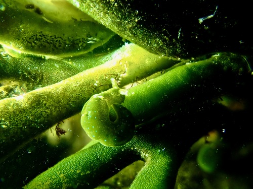
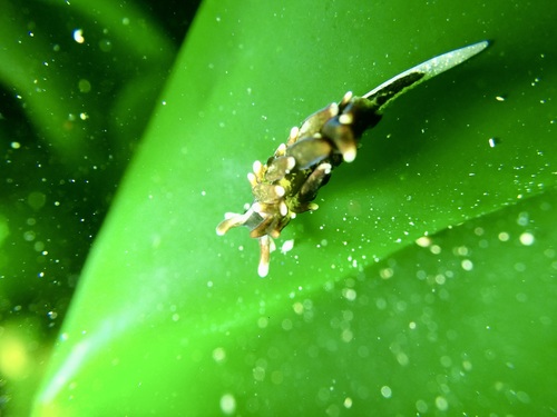
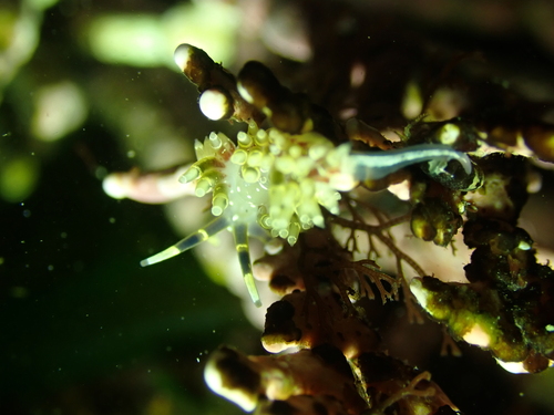
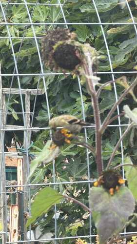
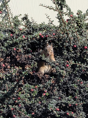
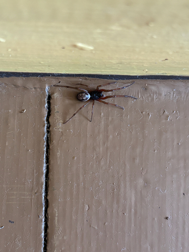
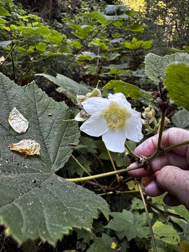
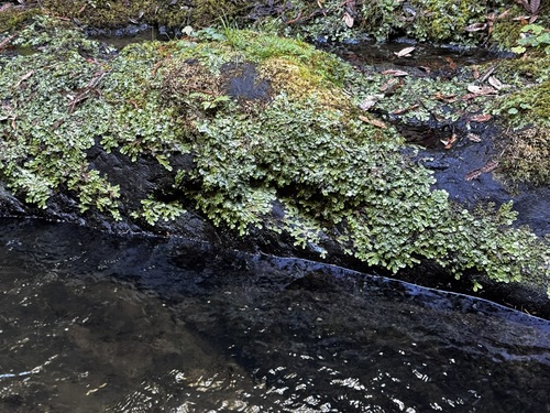
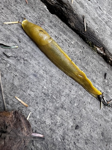
Research-grade observations from iNaturalist (within ~15 mi).
Nearest stream gauge
Events
Gallery
Sources
- • Wikipedia
- • US Census Bureau (ACS 5-year estimates)
- • NOAA National Weather Service
- • Wikidata
- • iNaturalist
- • Open-Meteo / sunrise-sunset.org
- • Wikipedia Pageviews API
- • Open Library
- • NASA EONET