Browse / United States / California / Potter Valley
Potter Valley
CaliforniaCDP
Total population
436
Air quality index
Demographic figures from US Census Bureau · ACS 5-year estimates. Overview below cites Wikipedia and may reference a different year.
City facts
Facts from Wikidata (CC0).
Overview
Potter Valley is a census-designated place in Mendocino County, California, United States. It is located 18 miles (29 km) north-northeast of Ukiah, at an elevation of 948 feet (289 m) at the headwaters of the East Fork Russian River. The CDP population was 665 at the 2020 census.
Read more on WikipediaHistory & geography
History
In 1852, when William and Thomas Potter and Mose Briggs first entered what would become known as Potter Valley, they were searching for the headwaters of the Russian River from their base in Sonoma County. The Pomo people called it Ba-lo Kai. They found three Pomo villages (each about 500 people strong), the Russian headwaters, and a lush valley with wild oats "stirrup high". Eventually the Potters returned to settle there, and the valley became known by the American ranchers' name. The post office opened in 1870. In addition to his famous Ridgewood Ranch, Charles S. Howard, owner of the racehorse Seabiscuit, owned a ranch in Potter Valley where he ran cattle.
Geography
Potter Valley is located northeast of Ukiah and northeast of Lake Mendocino in Mendocino County, with the valley floor at roughly in elevation. The headwaters of the East Fork of the Russian River originate in the valley. The Potter Valley Project delivers additional water from the Eel River, which flows into the Russian River here via a controversial hydroelectric plant that tunnels through the mountains to take advantage of the relative proximity of these two waterways. This diversion supplies a significant amount of water to inland Mendocino and Sonoma counties. Potter Valley is a rich agricultural region, with excellent soils, planted mostly in irrigated pasture, wine grapes, and pears, but supporting a wide variety of farms and ranches. According to the United States Census Bureau, the Potter Valley Census Designated Place (CDP) covers an area of , of which 99.31% is land, and 0.69% is water. The entire valley, which is mostly rural, has an area of roughly .
Excerpted from the corresponding Wikipedia article (CC BY-SA).
Demographics & economy
Geography
Coordinates & boundaries from the US Census TIGER/Line shapefiles.
Climate
Air quality
Current readings from Open-Meteo Air Quality API (Copernicus CAMS European reanalysis).
Industrial & pollution facilities
Natural hazard risk
Health (adults)
Walkability
Amenities nearby
Wildlife & biodiversity
Most-observed species
- Common RavenCorvus corax Linnaeus, 1758 · Aves4,024
- California/Woodhouse's Scrub-JayAphelocoma californica (Vigors, 1839) · Aves3,991
- Anna's HummingbirdCalypte anna (R.Lesson, 1829) · Aves3,969
- Dark-eyed JuncoJunco hyemalis (Linnaeus, 1758) · Aves3,738
- Acorn WoodpeckerMelanerpes formicivorus (Swainson, 1827) · Aves3,547
- Turkey VultureCathartes aura (Linnaeus, 1758) · Aves3,541
- California TowheeMelozone crissalis (Vigors, 1839) · Aves3,467
- Spotted TowheePipilo maculatus Swainson, 1827 · Aves3,427
Citizen-science & research observations from the Global Biodiversity Information Facility (GBIF).
Schools
Earthquake history
Photos
Sights & places nearby
Notable people from here
Nearby places in California
- Nice19 mi away
- North Lakeport19.2 mi away
- Lakeport21.7 mi away · pop. 5,113
- Hopland24.1 mi away · pop. 983
- Philo25 mi away
- Kelseyville28.2 mi away
- Clearlake Oaks31.8 mi away · pop. 2,198
- Elk Creek36.4 mi away
- Mendocino36.5 mi away
- Cleone37.5 mi away · pop. 613
- Lower Lake38.8 mi away
- Manchester39.1 mi away · pop. 184
Geography & sun
Elevation, sunrise/sunset and daylight from Open-Meteo. Solar climatology from NASA POWER.
Nearby airports
Public attention
Pageview totals from the Wikimedia Pageviews API.
Books about Potter Valley


Search results from Open Library.
Recent natural events nearby
- Wildfire LUCAS, Lake, CaliforniaWildfires · 2026-09-10 · 8 mi
- Wildfire LUCAS, Lake, CaliforniaWildfires · 2026-09-10 · 8 mi
- Wildfire FELIZ, Mendocino, CaliforniaWildfires · 2026-08-01 · 23 mi
- Wildfire MP18, Humboldt, CaliforniaWildfires · 2026-08-07 · 129 mi
- Wildfire GANN, Calaveras, CaliforniaWildfires · 2026-08-03 · 151 mi
- Wildfire FLORISTON, Nevada, CaliforniaWildfires · 2026-09-16 · 165 mi
- Wildfire Bug, Lassen, CaliforniaWildfires · 2026-08-08 · 166 mi
- Wildfire Hawk, Washoe, NevadaWildfires · 2026-08-22 · 169 mi
Wildfires, storms and other events from NASA EONET (last 12 months, within 250 mi).
Ground air-quality sensors
Recently spotted species
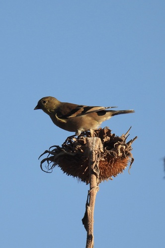
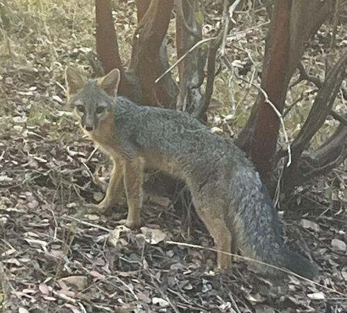
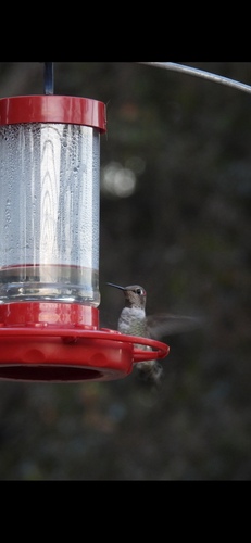
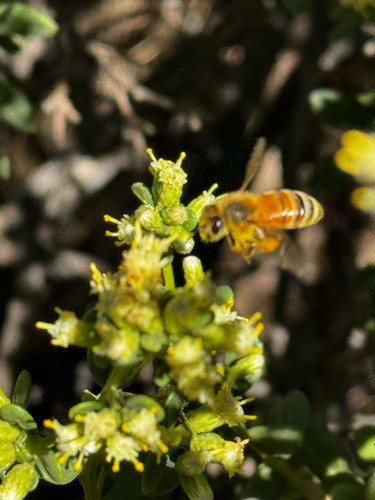
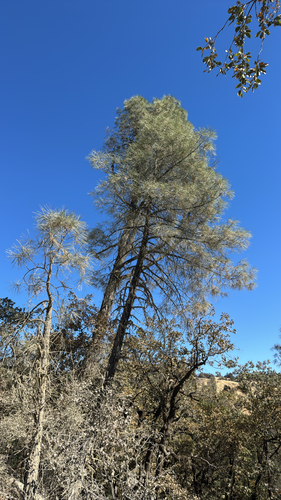
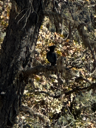
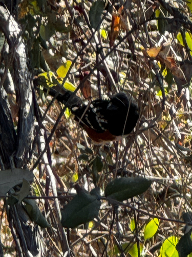
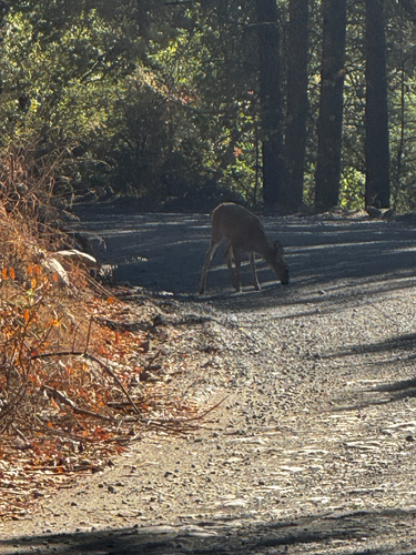
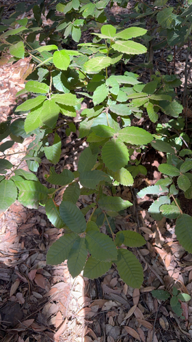
Research-grade observations from iNaturalist (within ~15 mi).
Nearest stream gauge
Events
Gallery
Sources
- • Wikipedia
- • Wikidata
- • Open-Meteo Air Quality (CAMS)
- • GBIF (Global Biodiversity Information Facility)
- • iNaturalist
- • Open-Meteo / sunrise-sunset.org
- • Wikipedia Pageviews API
- • Open Library
- • NASA EONET